Old Maps of Locust Hill, South Carolina for Hiking & Exploration
Hike through history with 13 historic maps of Locust Hill. Explore old trails, ghost towns, and forgotten backroads — perfect for outdoor adventurers and local explorers.
- Rediscover forgotten places: Map out old mining camps, roads, and footpaths that no longer exist on modern maps.
- Layer with modern tools: Combine with LiDAR or satellite views to plan hikes through historical terrain.
- Made for exploration: Popular among hikers, overlanders, and local history lovers.
Use these maps to find adventure and explore the hidden past of Locust Hill.
Locust Hill, SC maps
(13)- 1907 Map of Saluda
 1907 Saluda1907 Print · USGSNorth Carolina's mountain frontier meets the South Carolina foothills in this 1900s survey of the Blue Ridge. Genealogists and researchers can trace the early rail network through Saluda and locate old landmarks like Rockcliff PO and Pleasant Grove Church.3 unique versions available
 - 1955 Map of Knoxville
 1955 Knoxville1955 Print · USGSThe Southern Appalachians and the Smoky Mountains are shown here at a peak of mid-century development and conservation. Genealogists and historians can trace the early road networks connecting Gatlinburg, Waynesville, and the Cherokee Indian Reservation across the high ridges.
 - 1957 Map of Knoxville, 1966 Print
 1957 Knoxville1966 Print · USGSThe Southern Appalachians of Tennessee and North Carolina are mapped here during the mid-twentieth century as new highways reached the high country. Genealogists and historians can trace the topography between Knoxville and Asheville, locating family landmarks near Fontana Lake or along the Blue Ridge Parkway.4 unique versions available
 - 1959 Map of Tigerville, 1963 Print
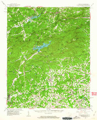 1959 Tigerville1963 Print · USGSThe Carolina borderlands come into focus in the late fifties as the Blue Ridge foothills balance mountain industry and rural education. Researchers can trace the Southern railroad line through Tuxedo or locate local landmarks like North Greenville Junior College and Berrys Millpond.2 unique versions available
 - 1960 Map of Knoxville
 1960 Knoxville1960 Print · USGSThe Southern Appalachians come alive in the 1950s, showing the intersection of new national park tourism and deep-rooted mountain industry. Trace old rail lines like the Clinchfield RR and find high-altitude landmarks from Mt Le Conte to the Cherokee Indian Reservation.2 unique versions available
 - 1964 Map of Knoxville
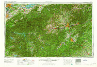 1964 Knoxville1964 Print · USGSThe Southern Appalachians and Great Smokies are captured here during the mid-sixties, showing the rugged borderlands of Tennessee and North Carolina. Researchers can trace historic mountain routes like U S 441, the expanse of Pisgah National Forest, and the growing footprints of Asheville and Knoxville.
 - 1983 Map of Slater
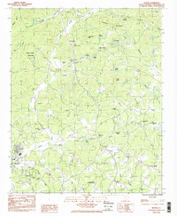 1983 Slater1983 Print · USGSUpper Greenville County in the early eighties shows a landscape of river-valley towns and mountain ridges. Researchers can trace local heritage through dozens of country churches like Cool Springs Ch and landmarks like the Riverside Speedway.2 unique versions available
 - 1986 Map of Hendersonville
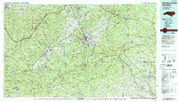 1986 Hendersonville1986 Print · USGSThe Blue Ridge foothills of North and South Carolina are documented here in the mid-eighties as modern highways began to reshape mountain travel. Local historians can trace the paths of the Southern Railway through Hendersonville or locate landmarks like Looking Glass Rock and Inman Mills.2 unique versions available
 - 2011 Map of Slater, 2011 Print
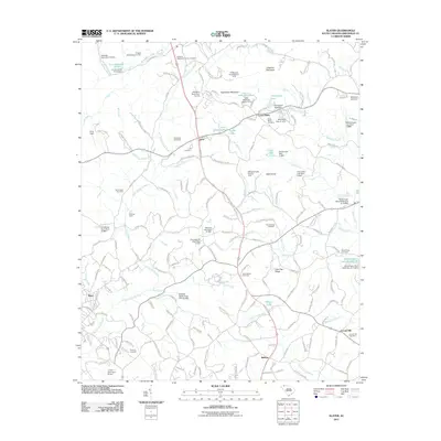 2011 Slater2011 Print · USGSGreenville County's Upstate foothills appear in the early 21st century as a network of rural settlements and managed waterways. Family historians can trace local roots at the Hawkins-Hightower Family Cemetery, Lima Cemetery, and the Riverside Speedway.
 - 2014 Map of Slater, 2014 Print
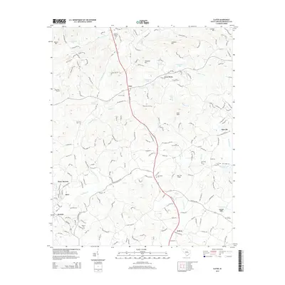 2014 Slater2014 Print · USGSGreenville County's northern foothills are captured here in the early twenty-first century, showing a landscape of river valleys and upland ridges. Researchers can trace local heritage through sites like Mush Creek Cem, the Hawkins-Hightower Family Cem, and the old settlement at Lima.
 - 2017 Map of Slater, 2017 Print
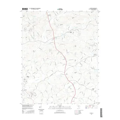 2017 Slater2017 Print · USGSUpper Greenville County in the late twenty-teens retains its traditional rural character along the N Saluda River. Genealogists can trace family footprints through numerous small burial sites like Hawkins-Hightower Family Cem and Cool Springs Cem.
 - 2020 Map of Slater, 2020 Print
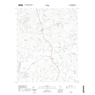 2020 Slater2020 Print · USGSUpper Greenville County is shown in this contemporary record of its river valleys and foothill settlements. Genealogists can trace family heritage through numerous community sites like Lima Baptist Church Graveyard and Hawkins Hightower Family Cem.
 - 2024 Map of Slater, 2024 Print
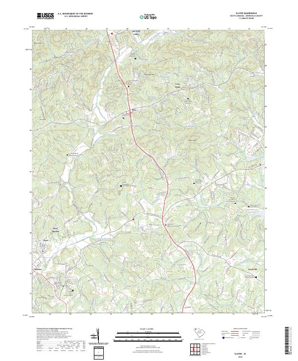 2024 Slater2024 Print · USGSThe foothills of the Greenville Piedmont are captured here in a period of modern development and historical preservation. Genealogists can trace deep local roots at the Hawkins Hightower Family Cem and Cool Springs Baptist Church, while exploring the rural communities of Lima and Locust Hill.
End of results
Showing maps 1-13 of 13
Top cities near Locust Hill
- Greenville historical maps
- Greer historical maps
- Mauldin historical maps
- Easley historical maps
- Wade Hampton historical maps
- Lyman historical maps
See more
Frequently asked questions
- What are the different types of historical maps available for Locust Hill?
- What is the oldest map of Locust Hill?
- Where can I purchase historical maps of Locust Hill for my home or office?
- Where can I download high-res historical maps of Locust Hill?
- Are there historical topographic maps available for Locust Hill?
- Is there historical aerial imagery available for Locust Hill?
- Where are historical maps of Locust Hill sourced from?