2020s Maps of Simpsonville, South Carolina
Explore 8 historic maps of Simpsonville from the 2020s. These maps offer a rare glimpse into what life looked like during the 2020s — showing old roads, neighborhoods, homes, and landmarks that have changed or disappeared over time.
Whether you're researching your family's past, planning a metal detecting trip, or studying how Simpsonville's landscape evolved across the 2020s, these high-resolution maps are a powerful tool for exploring the history of this region.
- Focus on a specific era: All maps on this page are from the 2020s, giving you a focused view of this time period.
- See what’s changed: Compare century-old streets, trails, and buildings to today's modern landscape using overlays and satellite layers.
- Research with precision: Use these maps for genealogy, historical research, land use analysis, or educational projects.
- View, download, or print: Maps are fully viewable online in high resolution, and can be downloaded or printed for your own records.
Start exploring Simpsonville's history through authentic maps from the 2020s. This is your window into the past.
Simpsonville, SC maps
(8)- 2020 Map of Pelham, 2020 Print
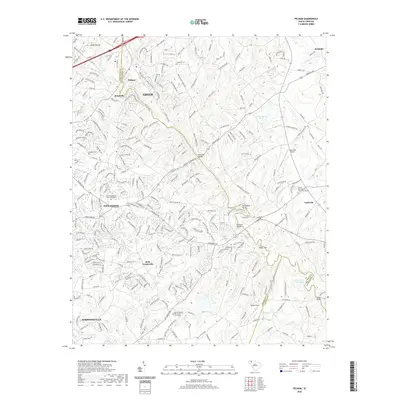 2020 Pelham2020 Print · USGSCovers Simpsonville, including Greer, Reidville, and other nearby areas
 - 2020 Map of Mauldin, 2020 Print
 2020 Mauldin2020 Print · USGSCovers Simpsonville, including Greenville, Mauldin, and other nearby areas
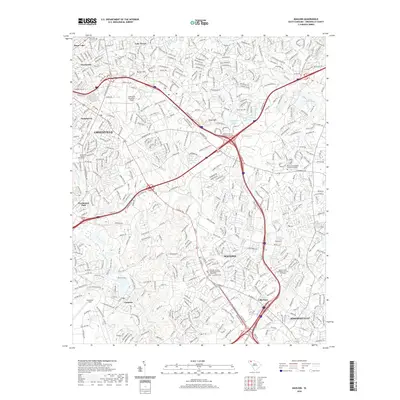
 - 2020 Map of Simpsonville, 2020 Print
 2020 Simpsonville2020 Print · USGSCovers Simpsonville, including Mauldin, Westwood, and other nearby areas
 - 2020 Map of Fountain Inn, 2020 Print
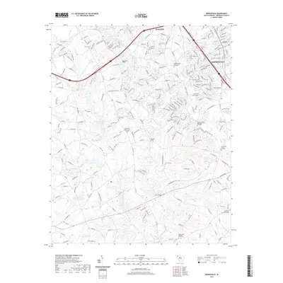
 2020 Fountain Inn2020 Print · USGSCovers Simpsonville, including Fountain Inn, Cooks Crossroads, and other nearby areas
 - 2024 Map of Pelham, 2024 Print
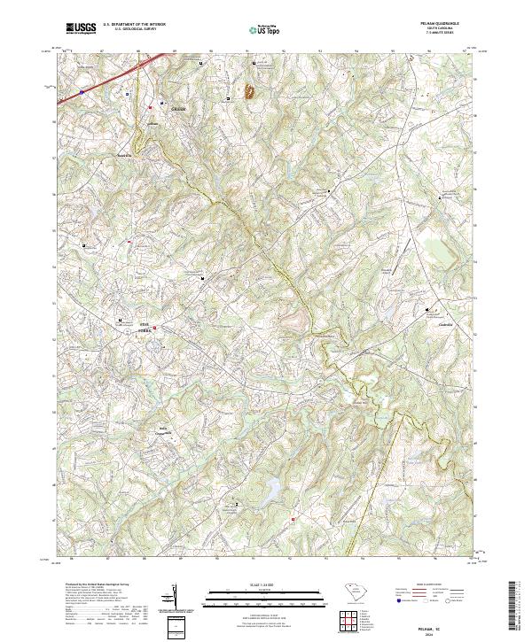 2024 Pelham2024 Print · USGSThe Greenville-Spartanburg borderlands come into focus here, showing the modern suburban evolution of the South Carolina Piedmont. Genealogists can trace family roots through numerous historic churchyards like Antioch Presbyterian Church Graveyard and Liberty Hill United Methodist Church Graveyard.
 - 2024 Map of Fountain Inn, 2024 Print
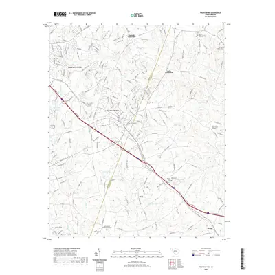
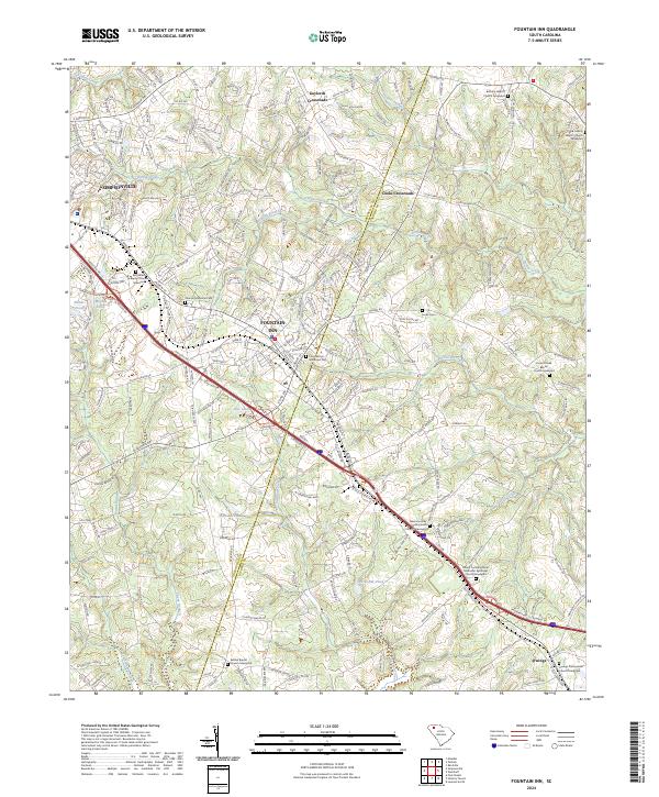 2024 Fountain Inn2024 Print · USGSThe Greenville and Laurens county line comes alive in this contemporary survey of the South Carolina Upstate. Researchers can trace family history through numerous church grounds and cemeteries, including Bethlehem Baptist Church Graveyard and Owings Presbyterian Church Graveyard.
 - 2024 Map of Simpsonville, 2024 Print
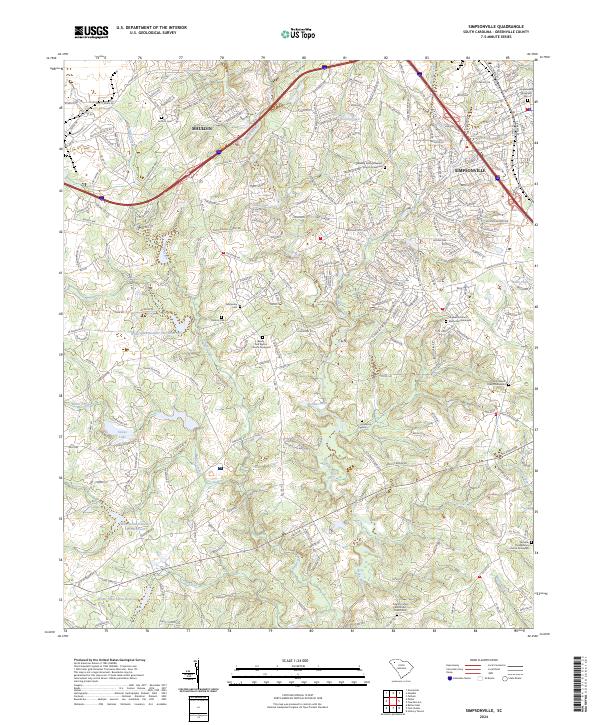 2024 Simpsonville2024 Print · USGSSimpsonville and Mauldin are captured in this recent survey, showcasing the enduring Piedmont landscape of Greenville County. Genealogists can trace family burial sites at the Fairview Presbyterian Church Graveyard and Antioch Cem or locate old routes like Old Stage Rd.
 - 2024 Map of Mauldin, 2024 Print
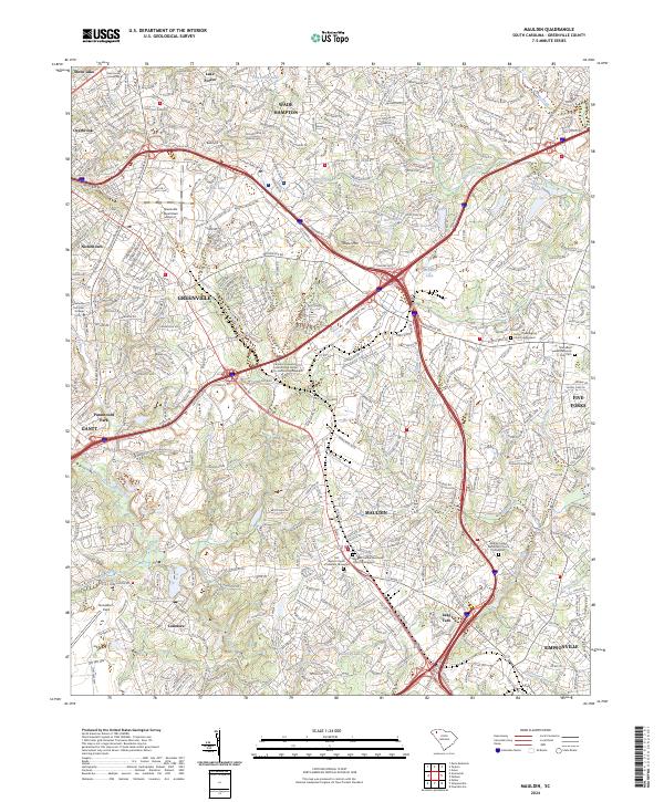 2024 Mauldin2024 Print · USGSMauldin and the Greenville suburbs are shown in their modern configuration, balancing industrial hubs with established residential neighborhoods. Researchers can locate several historic burial grounds like Rocky Creek Baptist Church Graveyard and the sprawling Donaldson Field.
End of results
Showing maps 1-8 of 8
Top cities near Simpsonville
- Greenville historical maps
- Greer historical maps
- Mauldin historical maps
- Wade Hampton historical maps
- Fountain Inn historical maps
- Laurens historical maps
See more
Top neighborhoods of Simpsonville
- Powderhorn historical maps
- Westwood historical maps
- The Cedars historical maps
- Poinsetta historical maps
- Cherokee Heights historical maps
- Spring Creek Apartments historical maps
See more
Frequently asked questions
- What are the different types of historical maps available for Simpsonville?
- What is the oldest map of Simpsonville?
- Where can I purchase historical maps of Simpsonville for my home or office?
- Where can I download high-res historical maps of Simpsonville?
- Are there historical topographic maps available for Simpsonville?
- Is there historical aerial imagery available for Simpsonville?
- Where are historical maps of Simpsonville sourced from?