2020s Maps of Slater-Marietta, South Carolina
Explore 4 historic maps of Slater-Marietta from the 2020s. These maps offer a rare glimpse into what life looked like during the 2020s — showing old roads, neighborhoods, homes, and landmarks that have changed or disappeared over time.
Whether you're researching your family's past, planning a metal detecting trip, or studying how Slater-Marietta's landscape evolved across the 2020s, these high-resolution maps are a powerful tool for exploring the history of this region.
- Focus on a specific era: All maps on this page are from the 2020s, giving you a focused view of this time period.
- See what’s changed: Compare century-old streets, trails, and buildings to today's modern landscape using overlays and satellite layers.
- Research with precision: Use these maps for genealogy, historical research, land use analysis, or educational projects.
- View, download, or print: Maps are fully viewable online in high resolution, and can be downloaded or printed for your own records.
Start exploring Slater-Marietta's history through authentic maps from the 2020s. This is your window into the past.
Slater-Marietta, SC maps
(4)- 2020 Map of Slater, 2020 Print
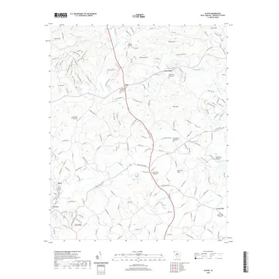 2020 Slater2020 Print · USGSCovers Slater-Marietta, including Cross Plains, Locust Hill, and other nearby areas
 - 2020 Map of Cleveland, 2020 Print
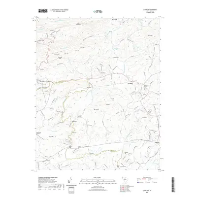 2020 Cleveland2020 Print · USGSCovers Slater-Marietta, including Caesars Head, Mountain Lake Colony, and other nearby areas
 - 2024 Map of Slater, 2024 Print
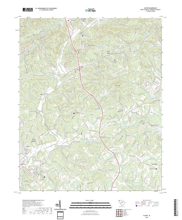 2024 Slater2024 Print · USGSThe foothills of the Greenville Piedmont are captured here in a period of modern development and historical preservation. Genealogists can trace deep local roots at the Hawkins Hightower Family Cem and Cool Springs Baptist Church, while exploring the rural communities of Lima and Locust Hill.
 - 2024 Map of Cleveland, 2024 Print
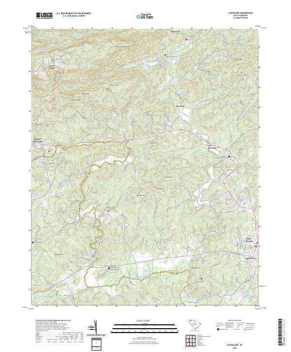 2024 Cleveland2024 Print · USGSUpper South Carolina's mountain country is captured here as it appeared recently, showing the rural communities of the Saluda River forks. Researchers can locate numerous family burial sites and historic congregations, such as Jones Hart Family Cem, Caesars Head, and the Baptist Church Graveyard.
End of results
Showing maps 1-4 of 4
Top cities near Slater-Marietta
- Greenville historical maps
- Greer historical maps
- Mauldin historical maps
- Easley historical maps
- Wade Hampton historical maps
- Brevard historical maps
See more
Top neighborhoods of Slater-Marietta
Frequently asked questions
- What are the different types of historical maps available for Slater-Marietta?
- What is the oldest map of Slater-Marietta?
- Where can I purchase historical maps of Slater-Marietta for my home or office?
- Where can I download high-res historical maps of Slater-Marietta?
- Are there historical topographic maps available for Slater-Marietta?
- Is there historical aerial imagery available for Slater-Marietta?
- Where are historical maps of Slater-Marietta sourced from?