Old Maps of Lugoff, South Carolina for Genealogy
Trace your family roots with 23 historic maps of Lugoff. These high-res maps reveal old neighborhoods, homesites, landmarks, and streets — helping you uncover where your ancestors lived and how the area evolved over time.
- Explore historic neighborhoods: Identify where your relatives may have lived in the 1800s or 1900s.
- Compare maps over time: Trace the changes in streets, buildings, and landmarks for multi-generational research.
- Perfect for genealogy & ancestry research: Used by family historians and researchers to map out lineage and migration.
These maps are an incredible resource for exploring your personal connection to Lugoff's past.
Lugoff, SC maps
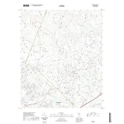
(23)- 1935 Map of Killian
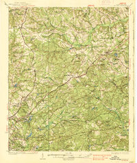
 1935 Killian1935 Print · USGSRichland County at the height of the mid-1930s is a landscape of rural schoolhouses and growing military infrastructure. Genealogists can trace family landmarks like Kelley Cem, Bookman Mill, and dozens of local churches including Roundtop Ch.2 unique versions available
 - 1937 Map of Killian
 1937 Killian1937 Print · USGSRichland and Kershaw counties in the mid-1930s show a landscape of growing military installations and rural community life. Genealogists can trace family names through dozens of landmarks like Bookmans Mill, Sand Level Sch, and Union Baptist Ch.4 unique versions available
 - 1938 Map of Hagood
 1938 Hagood1938 Print · USGSThe Wateree River basin comes to life in this pre-war study of the Kershaw and Sumter county borderlands. Researchers can trace the river's old crossings and mills at Ancrum Ferry and Boykin Mill Pond, alongside historic schools like Kershaw Industrial Sch.3 unique versions available
 - 1941 Map of Spartanburg
 1941 Spartanburg1941 Print · USGSSouth Carolina’s Piedmont and Sandhills regions are shown here during the mid-century peak of the rail era. Researchers can trace the sprawling Fort Jackson Military Reservation and the industrial growth of hubs like Spartanburg and Rock Hill.
 - 1942 Map of Camden
 1942 Camden1942 Print · USGSMid-century South Carolina comes into focus along the Wateree River as the region's rail and agricultural networks reached their peak. Genealogists and historians can trace old community hubs like Boykin Mill, Friends Neck Ch, and the grounds of the Sand Hill Experimental Station.
 - 1953 Map of Lugoff, 1957 Print
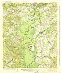
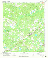
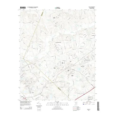
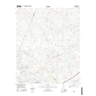
 1953 Lugoff1957 Print · USGSKershaw County in the mid-fifties shows a landscape of rail-driven industry and rural community life near the Wateree River. Genealogists and historians can trace family-named sites like Porter Cemetery, the Green Hill School, and the abandoned gravel washer.
 - 1953 Map of Blaney, 1957 Print
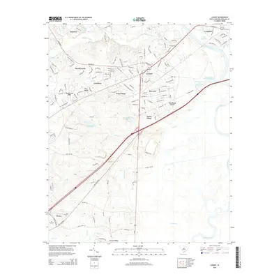
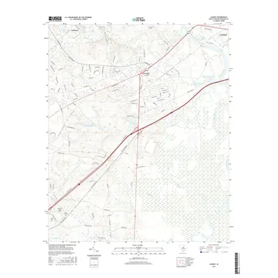
 1953 Blaney1957 Print · USGSRichland and Kershaw Counties come together in the early fifties near the rail town of Blaney. Researchers can trace old family footprints at Shady Grove Cem, find the historic Bethel Camp Ground, or locate rural landmarks like Bookman's Mill.
 - 1953 Map of Spartanburg, 1966 Print
 1953 Spartanburg1966 Print · USGSMid-century South Carolina comes into focus through this survey of the Piedmont and the Sand Hills at a time of significant reservoir expansion. Researchers can trace the legacy of industrial transit and resource extraction from the Haile Gold Mine to the rail hubs of the Seaboard Air Line.4 unique versions available
 - 1960 Map of Spartanburg
 1960 Spartanburg1960 Print · USGSThe South Carolina Piedmont and North Carolina borderlands come alive in this mid-century survey of the region between Spartanburg and Columbia. Researchers can trace the Seaboard Air Line railroad and explore landmarks like Anderson Quarry, Lake Murray, and Mount Croghan.2 unique versions available
 - 1963 Map of Spartanburg
 1963 Spartanburg1963 Print · USGSMid-century South Carolina comes alive in this survey, showing the rail-linked corridor between the Upstate and the Midlands. Genealogists can trace family lands near old hubs like Union and Lancaster, or along the banks of the Broad River and Pee Dee River.
 - 1964 Map of Spartanburg
 1964 Spartanburg1964 Print · USGSMid-century South Carolina comes alive in this survey of the Piedmont and Upcountry, stretching from the Blue Ridge foothills to the Sandhills. Genealogists and historians can trace the rail-and-river economy through Monarch Mills, Glenn Springs, and the Southern Railway corridor.
 - 1971 Map of Elgin, 1973 Print
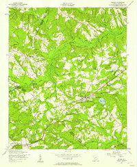
 1971 Elgin1973 Print · USGSCentral South Carolina near the Richland and Kershaw county line comes into focus in the early seventies, centered on the Seaboard Coast Line. Genealogists can trace local roots through Oak Grove Ch, Jacob Mission Ch, and the Bethel Campground.2 unique versions available
 - 1986 Map of Camden South
 1986 Camden South1986 Print · USGSThe South Carolina midlands come into focus in the mid-eighties, showing the sprawling corridors between the Wateree and Lynches Rivers. Genealogists and historians can trace family roots through numerous mill sites and rural junctions like Boykin, Lucknow, and Hermitage Mill Pond.4 unique versions available
 - 2011 Map of Lugoff, 2011 Print
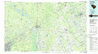
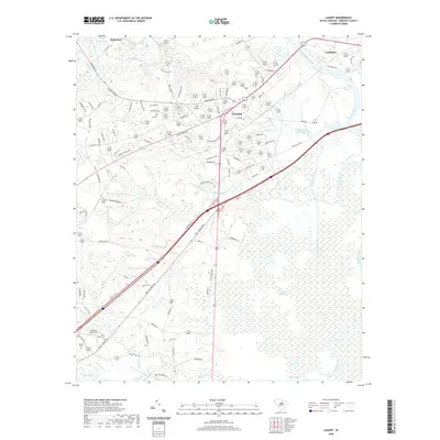
 2011 Lugoff2011 Print · USGSCovers Lugoff, including Camden, Kellytown, and other nearby areas
 - 2011 Map of Elgin, 2011 Print
 2011 Elgin2011 Print · USGSCovers Lugoff, including Columbia, Elgin, and other nearby areas
 - 2014 Map of Elgin, 2014 Print
 2014 Elgin2014 Print · USGSCovers Lugoff, including Columbia, Elgin, and other nearby areas
 - 2014 Map of Lugoff, 2014 Print
 2014 Lugoff2014 Print · USGSCovers Lugoff, including Camden, Kellytown, and other nearby areas
 - 2017 Map of Elgin, 2017 Print
 2017 Elgin2017 Print · USGSCovers Lugoff, including Columbia, Elgin, and other nearby areas
 - 2017 Map of Lugoff, 2017 Print
 2017 Lugoff2017 Print · USGSCovers Lugoff, including Camden, Kellytown, and other nearby areas
 - 2020 Map of Elgin, 2020 Print
 2020 Elgin2020 Print · USGSCovers Lugoff, including Columbia, Elgin, and other nearby areas
 - 2020 Map of Lugoff, 2020 Print
 2020 Lugoff2020 Print · USGSCovers Lugoff, including Camden, Kellytown, and other nearby areas
 - 2024 Map of Lugoff, 2024 Print
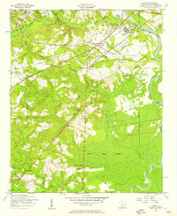
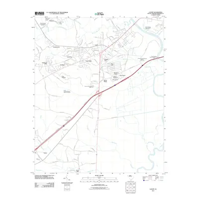
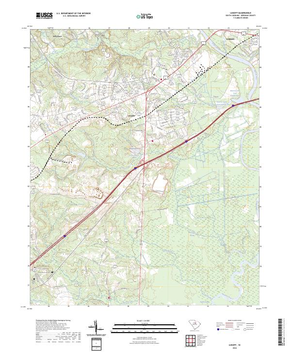 2024 Lugoff2024 Print · USGSKershaw County settlement and the Wateree River lowlands are captured here in the mid-2020s as the region continues to evolve. Researchers can locate family landmarks like the Saint Pauls Church Graveyard and trace the reaches of Betty Neck Swamp.
 - 2024 Map of Elgin, 2024 Print
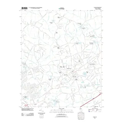
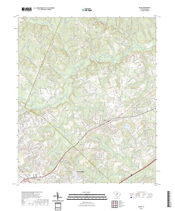 2024 Elgin2024 Print · USGSElgin and the Richland-Kershaw county line are shown here in the modern era as suburban growth meets rural hydrology. Researchers can trace family-named landmarks and old water sites like Lotts Mill Pond, R W Cokers Pond, and Smyrna Church Rd.
End of results
Showing maps 1-23 of 23
Top cities near Lugoff
Top neighborhoods of Lugoff
- The Groves historical maps
- Thunderwoods historical maps
- Woodland Forest historical maps
- Gettysburg historical maps
- Mayfield Acres historical maps
- Pecan Orchard historical maps
See more
Frequently asked questions
- What are the different types of historical maps available for Lugoff?
- What is the oldest map of Lugoff?
- Where can I purchase historical maps of Lugoff for my home or office?
- Where can I download high-res historical maps of Lugoff?
- Are there historical topographic maps available for Lugoff?
- Is there historical aerial imagery available for Lugoff?
- Where are historical maps of Lugoff sourced from?