
1937 Map of Killian
USGS Topo · Published 1937About this map
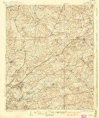
The Fort Jackson Military Reservation dominates the southern landscape of this mid-1930s survey, illustrating the significant federal footprint in the region. The map captures a transitional era of transportation, where the Seaboard Air Line and Southern Railway tracks parallel established routes like the Jefferson Davis Highway and Old Camden Road. This network connects established communities such as Blythewood and Blaney with specialized sites like the Sand Hill Experimental Station and the State Sanitarium.
Find a feature on this map
84 named features on this map. Tap any name to fly to it.
Don’t see what you’re looking for? This feature index may not catch every label — zoom into the map to look around manually.
Map Details
Editions of this 1937 Killian Map
4 editions found
Other maps of this area

1904 · Columbia
USGS Topo · 1:125,000

1935 · Camden
USGS Topo · 1:48,000

1935 · Killian
USGS Topo · 1:48,000

1938 · Camden
USGS Topo · 1:62,500

1938 · Hagood
USGS Topo · 1:62,500

1941 · Spartanburg
USGS Topo · 1:250,000

1942 · Camden
USGS Topo · 1:125,000

1943 · Eastover
USGS Topo · 1:62,500

1944 · Edmund
USGS Topo · 1:62,500

1947 · Columbia North
USGS Topo · 1:24,000