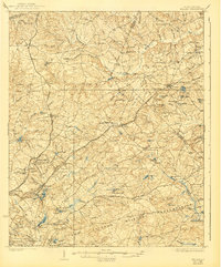
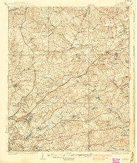
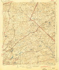
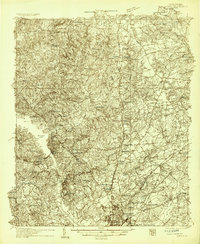
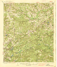
1937 Map of Killian
USGS Topo · Published 1940About this map
Fort Jackson Military Reservation dominates the southern landscape of this mid-1930s survey, illustrating the significant military footprint near the capital. The area is a dense network of early 20th-century rural life, anchored by numerous small community centers such as Blythewood and Blaney. The map reveals a transition from traditional agriculture to specialized facilities, evidenced by the Sand Hill Experimental Station and the sprawling State Park State Sanitarium complex. Transportation is defined by the Southern Railway and the Seaboard Air Line, which guided the growth of settlements like Killian and Pontiac. Local industry and social infrastructure are well-documented through features like Bookmans Mill, the CCC Camp, and a high concentration of denominational landmarks including Spears Creek Ch, Mt Zion Ch, and Union Baptist Ch, alongside many one-room schoolhouses like Cooks Sch.
Find a feature on this map
115 named features on this map. Tap any name to fly to it.
Don’t see what you’re looking for? This feature index may not catch every label — zoom into the map to look around manually.
Map Details
Editions of this 1937 Killian Map
4 editions found
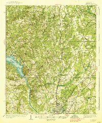
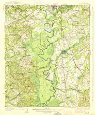
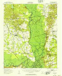
Other maps of this area

1904 · Columbia
USGS Topo · 1:125,000
1935 · Camden
USGS Topo · 1:48,000

1935 · Killian
USGS Topo · 1:48,000
1937 · Killian
USGS Topo · 1:62,500
1938 · Camden
USGS Topo · 1:62,500
1938 · Hagood
USGS Topo · 1:62,500

1941 · Spartanburg
USGS Topo · 1:250,000

1942 · Camden
USGS Topo · 1:125,000
1943 · Eastover
USGS Topo · 1:62,500

1944 · Edmund
USGS Topo · 1:62,500