Old Maps of Laurens, South Carolina for Academic Research
Study the evolution of Laurens with 38 high-resolution historic maps. Whether you're teaching, researching, or modeling changes in land use, these maps provide essential visual documentation of urban, environmental, and geographic change.
- Analyze long-term change: Track patterns in development, transportation, and natural features.
- Ideal for environmental or urban studies: Support academic projects with primary historical map data.
- Use in the classroom or lab: Educators and researchers rely on these maps to bring historical context to life.
These maps are a powerful tool for teaching, research, and visualizing how Laurens has changed over the decades.
Laurens, SC maps
(38)- 1892 Map of Abbeville
 1892 Abbeville1892 Print · USGSSouth Carolina’s Upstate during the late 1800s reveals a landscape defined by critical river crossings and the arrival of the steam era. Genealogists can trace family roots through localized sites like Smith Ferry, Maddox Mill, and the bustling rail hub of Greenwood.6 unique versions available
 - 1941 Map of Spartanburg
 1941 Spartanburg1941 Print · USGSSouth Carolina’s Piedmont and Sandhills regions are shown here during the mid-century peak of the rail era. Researchers can trace the sprawling Fort Jackson Military Reservation and the industrial growth of hubs like Spartanburg and Rock Hill.
 - 1953 Map of Spartanburg, 1966 Print
 1953 Spartanburg1966 Print · USGSMid-century South Carolina comes into focus through this survey of the Piedmont and the Sand Hills at a time of significant reservoir expansion. Researchers can trace the legacy of industrial transit and resource extraction from the Haile Gold Mine to the rail hubs of the Seaboard Air Line.4 unique versions available
 - 1954 Map of Greenville, 1965 Print
 1954 Greenville1965 Print · USGSThe Upstate and Northeast Georgia are captured here during a decade of massive transformation as new reservoirs reshaped the Piedmont. Genealogists and hikers can trace the Appalachian Trail over Brasstown Bald or locate old community centers like Demorest, Westminster, and Royston.3 unique versions available
 - 1957 Map of Fountain Inn, 1958 Print
 1957 Fountain Inn1958 Print · USGSThe South Carolina upstate's rural textile and transit corridor is captured here in the late fifties, following the rail line through Fountain Inn and Gray Court. Genealogists can trace family landmarks and rural life at Hickory Tavern, Knighton Chapel, and Bryson High Sch.
 - 1958 Map of Greenville
 1958 Greenville1958 Print · USGSThe Piedmont and Blue Ridge foothills come alive in this mid-century survey of the Upstate and Northeast Georgia. Trace the regional rail-and-river economy through the Southern Railway corridors and early reservoir developments like Lake Sidney Lanier.
 - 1960 Map of Spartanburg
 1960 Spartanburg1960 Print · USGSThe South Carolina Piedmont and North Carolina borderlands come alive in this mid-century survey of the region between Spartanburg and Columbia. Researchers can trace the Seaboard Air Line railroad and explore landmarks like Anderson Quarry, Lake Murray, and Mount Croghan.2 unique versions available
 - 1963 Map of Spartanburg
 1963 Spartanburg1963 Print · USGSMid-century South Carolina comes alive in this survey, showing the rail-linked corridor between the Upstate and the Midlands. Genealogists can trace family lands near old hubs like Union and Lancaster, or along the banks of the Broad River and Pee Dee River.
 - 1964 Map of Spartanburg
 1964 Spartanburg1964 Print · USGSMid-century South Carolina comes alive in this survey of the Piedmont and Upcountry, stretching from the Blue Ridge foothills to the Sandhills. Genealogists and historians can trace the rail-and-river economy through Monarch Mills, Glenn Springs, and the Southern Railway corridor.
 - 1969 Map of Ora, 1972 Print
 1969 Ora1972 Print · USGSLaurens County in the late sixties shows a transition from rural crossroads to industrializing outskirts. Genealogists can locate family landmarks like Sandy Springs Ch and Leesville Ch or trace the old SEABOARD COAST LINE railroad.2 unique versions available
 - 1971 Map of Laurens South, 1975 Print
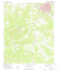 1971 Laurens South1975 Print · USGSThe city of Laurens and its southern rural outskirts are captured in the early 1970s, showing a landscape defined by the Seaboard Coast Line railroad and the Little River. Genealogists and historians can trace community landmarks like Holy Spirit Ch, the Sanders Sch, and the Jersey Cem.
 - 1971 Map of Clinton, 1975 Print
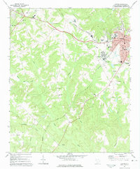 1971 Clinton1975 Print · USGSUpstate South Carolina textile and college life are captured here during a period of steady growth. Genealogists and local historians can trace the foundations of Clinton and Laurens, locating Presbyterian College, Lydia Mills, and rural churches like Rock Bridge Ch.
 - 1979 Map of Abbeville, 1980 Print
 1979 Abbeville1980 Print · USGSThe South Carolina and Georgia borderlands are captured here during a period of significant hydroelectric development and regional growth. Researchers can trace the rail-and-river economy through the Seaboard Coast Line and landmarks like Hartwell Dam or the Silk Mills.2 unique versions available
 - 1983 Map of Laurens North
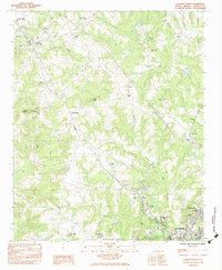 1983 Laurens North1983 Print · USGSLaurens and the upstate South Carolina Piedmont are documented here in the early eighties as rural life transitioned toward modern industrial growth. Genealogists can locate family landmarks like Knight Cem, Highland Home Ch, and the old Gray Court-Owings Sch.
 - 1984 Map of Greenville
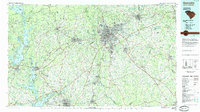 1984 Greenville1984 Print · USGSThe South Carolina Upstate undergoes rapid suburban growth in the mid-eighties as modern interstates begin to reshape the landscape. Researchers can trace historic rail lines like the Greenville and Northern Railway and locate local landmarks such as Clemson University and Paris Mountain State Park.
 - 1986 Map of Spartanburg
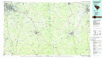 1986 Spartanburg1986 Print · USGSUpstate South Carolina is captured here in the mid-1980s, showcasing the region's transition from a textile-driven rail corridor to a modern interstate hub. Researchers can trace the legacy of the SOUTHERN railroad through mill towns like Glendale or explore the wooded reaches of the Sumter National Forest.2 unique versions available
 - 1986 Map of Newberry
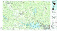 1986 Newberry1986 Print · USGSSouth Carolina's Piedmont region is shown here in the mid-1980s, revealing a landscape of historic crossroads and industrial mill villages. Researchers can trace family roots through landmarks like Lynch Woods Cem, New Hope Church, and the campus of Presbyterian College.2 unique versions available
 - 1991 Map of Greenville
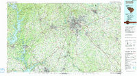 1991 Greenville1991 Print · USGSThe South Carolina Upstate was a landscape of rapid growth and engineering in the early nineties. Researchers can trace the expansion of Greenville and Spartanburg, find Clemson University, or study the massive reservoirs of Hartwell Lake and Lake Keowee.
 - 2011 Map of Clinton, 2011 Print
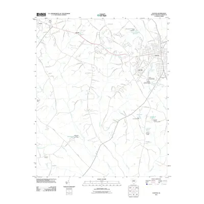 2011 Clinton2011 Print · USGSLaurens County during its twenty-first-century expansion reveals a landscape where industrial textile history meets modern growth. Genealogists and historians can trace family-named sites like Elizabeth M Davis Pond, the Beaverdam Cemetery, and the historic Lydia Mills district.
 - 2011 Map of Laurens South, 2011 Print
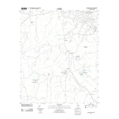 2011 Laurens South2011 Print · USGSLaurens County at the start of the 2010s reveals a landscape of Piedmont crossroads and family-named water features. Genealogists and local historians can trace legacy sites like Jersey Cemetery and old hubs like Maddens or Sign Board Crossroads.
 - 2011 Map of Laurens North, 2011 Print
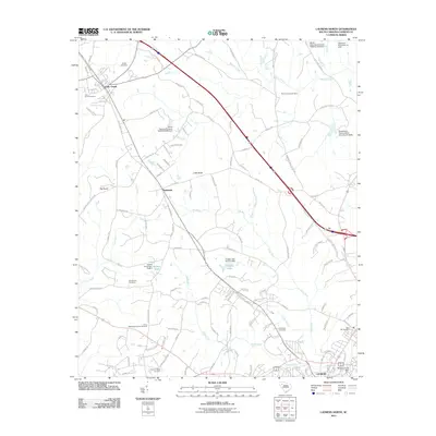 2011 Laurens North2011 Print · USGSUpper Laurens County comes into focus during this recent era of Piedmont growth and rural preservation. Genealogists and local historians can trace family locations through numerous sites like Knight Cemetery, Trinity Methodist Church Cemetery, and the settlement at Barksdale.
 - 2011 Map of Ora, 2011 Print
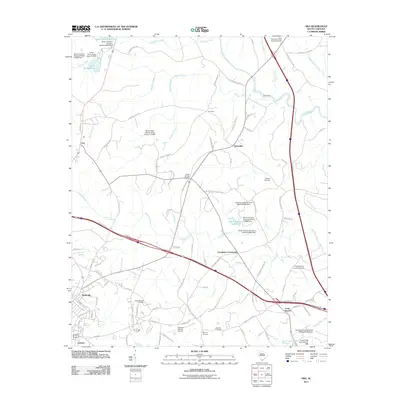 2011 Ora2011 Print · USGSThe rural outskirts of Laurens and the settlement of Wattsville are shown here during a period of modern growth in the South Carolina Piedmont. Local researchers can locate several family burial grounds, such as Rocky Springs Cemetery, and trace historic routes through Ora and Tylersville.
 - 2014 Map of Laurens North, 2014 Print
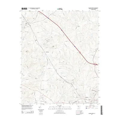 2014 Laurens North2014 Print · USGSLaurens County during the early twenty-first century reveals a landscape where historic family burial grounds and rural churches remain central to the community fabric. Researchers can trace genealogical roots at Bolt Family Cemetery, Knight Cemetery, and the Trinity Methodist Church Cemetery.
 - 2014 Map of Laurens South, 2014 Print
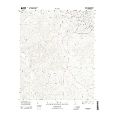 2014 Laurens South2014 Print · USGSLaurens County at the start of the 2010s shows a landscape of small communities and family landmarks. Researchers can trace rural lineages through sites like Mt Pleasant Cem, identify old crossroads at Maddens, or locate the ancient Indian Mound near Rabon Cr.
 - 2014 Map of Clinton, 2014 Print
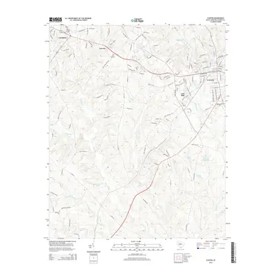 2014 Clinton2014 Print · USGSLaurens County settlement and industry are on full display in this mid-2010s survey of the Upstate South Carolina corridor. Researchers can trace the industrial footprint of Lydia Mills or locate ancestral sites like Holy Grove Cem and Beaverdam Cem.
Showing maps 1-25 of 38
Top cities near Laurens
- Simpsonville historical maps
- Fountain Inn historical maps
- Clinton historical maps
- Woodruff historical maps
- Joanna historical maps
- Gray Court historical maps
See more
Top neighborhoods of Laurens
- Irby historical maps
- Laurens Villa Apartments historical maps
- Pinehaven Pointe historical maps
- The Cottages historical maps
Frequently asked questions
- What are the different types of historical maps available for Laurens?
- What is the oldest map of Laurens?
- Where can I purchase historical maps of Laurens for my home or office?
- Where can I download high-res historical maps of Laurens?
- Are there historical topographic maps available for Laurens?
- Is there historical aerial imagery available for Laurens?
- Where are historical maps of Laurens sourced from?