2020s Maps of Batesburg-Leesville, South Carolina
Explore 4 historic maps of Batesburg-Leesville from the 2020s. These maps offer a rare glimpse into what life looked like during the 2020s — showing old roads, neighborhoods, homes, and landmarks that have changed or disappeared over time.
Whether you're researching your family's past, planning a metal detecting trip, or studying how Batesburg-Leesville's landscape evolved across the 2020s, these high-resolution maps are a powerful tool for exploring the history of this region.
- Focus on a specific era: All maps on this page are from the 2020s, giving you a focused view of this time period.
- See what’s changed: Compare century-old streets, trails, and buildings to today's modern landscape using overlays and satellite layers.
- Research with precision: Use these maps for genealogy, historical research, land use analysis, or educational projects.
- View, download, or print: Maps are fully viewable online in high resolution, and can be downloaded or printed for your own records.
Start exploring Batesburg-Leesville's history through authentic maps from the 2020s. This is your window into the past.
Batesburg-Leesville, SC maps
(4)- 2020 Map of Gilbert, 2020 Print
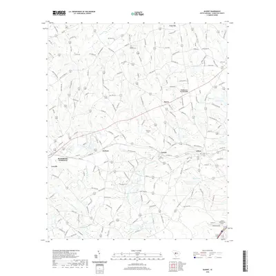 2020 Gilbert2020 Print · USGSCovers Batesburg-Leesville, including Gilbert, Summit, and other nearby areas
 - 2020 Map of Batesburg, 2020 Print
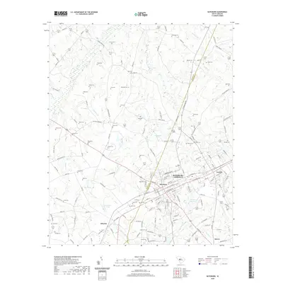 2020 Batesburg2020 Print · USGSCovers Batesburg-Leesville, including Holston Crossroads, Batesburg, and other nearby areas
 - 2024 Map of Batesburg, 2024 Print
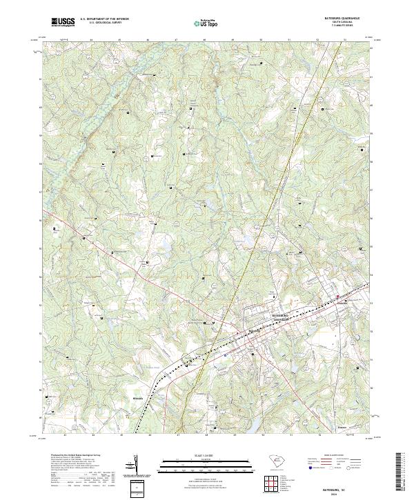 2024 Batesburg2024 Print · USGSThe Saluda and Lexington county line runs through this modern look at the South Carolina Midlands, centered on the growing community of Batesburg-Leesville. Researchers can trace local lineage through dozens of family burial sites including Beulah Church Graveyard, Fouts Cem, and Sawyer Cem.
 - 2024 Map of Gilbert, 2024 Print
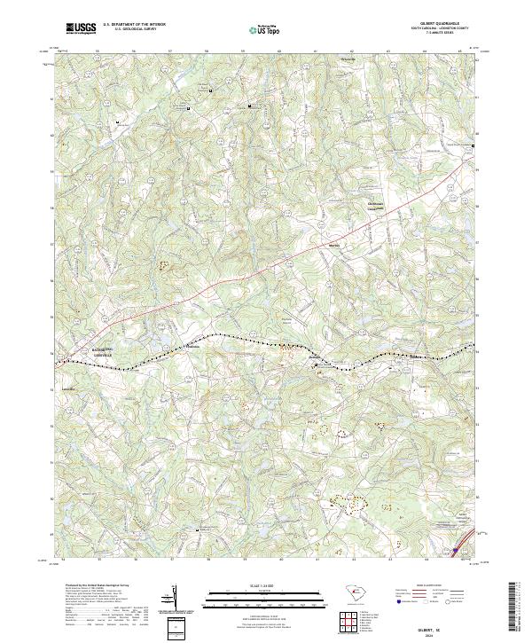 2024 Gilbert2024 Print · USGSLexington County comes into focus in the 2020s, showing a landscape of established small towns and deep-rooted rural communities. Genealogists can trace family landmarks and historic burials at Old Salem Church, Derrick Cem, and the Shiloh Church Graveyard.
End of results
Showing maps 1-4 of 4
Top cities near Batesburg-Leesville
- Gilbert historical maps
- Ridge Spring historical maps
- Summit historical maps
- Ward historical maps
- Todd historical maps
Top neighborhoods of Batesburg-Leesville
Frequently asked questions
- What are the different types of historical maps available for Batesburg-Leesville?
- What is the oldest map of Batesburg-Leesville?
- Where can I purchase historical maps of Batesburg-Leesville for my home or office?
- Where can I download high-res historical maps of Batesburg-Leesville?
- Are there historical topographic maps available for Batesburg-Leesville?
- Is there historical aerial imagery available for Batesburg-Leesville?
- Where are historical maps of Batesburg-Leesville sourced from?