2000s (21st Century) Maps of Columbia, South Carolina
Explore 50 historic maps of Columbia from the 2000s (21st Century). These maps offer a rare glimpse into what life looked like during the 2000s — showing old roads, neighborhoods, homes, and landmarks that have changed or disappeared over time.
Whether you're researching your family's past, planning a metal detecting trip, or studying how Columbia's landscape evolved across the 2000s, these high-resolution maps are a powerful tool for exploring the history of this region.
- Focus on a specific era: All maps on this page are from the 2000s, giving you a focused view of this time period.
- See what’s changed: Compare century-old streets, trails, and buildings to today's modern landscape using overlays and satellite layers.
- Research with precision: Use these maps for genealogy, historical research, land use analysis, or educational projects.
- View, download, or print: Maps are fully viewable online in high resolution, and can be downloaded or printed for your own records.
Start exploring Columbia's history through authentic maps from the 2000s. This is your window into the past.
Columbia, SC maps
(50)- 2011 Map of Congaree, 2011 Print
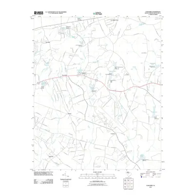 2011 Congaree2011 Print · USGSRichland County at the start of the 2010s reveals a rural landscape defined by family estates and woodland watercourses. Genealogists and local historians can trace legacy landmarks like Logues Cemetery or locate old community centers at Horrel Hill and Congaree.
 - 2011 Map of Fort Jackson South, 2011 Print
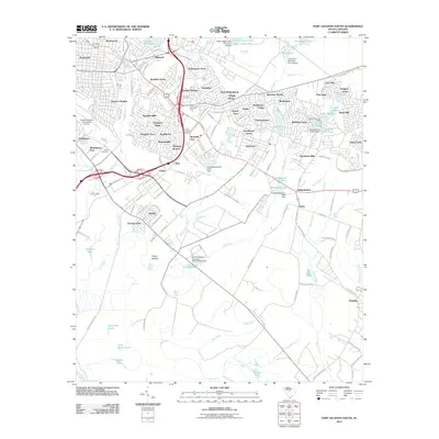 2011 Fort Jackson South2011 Print · USGSSoutheast of Columbia in the early twenty-first century, this area balances suburban growth with its deep-seated rural roots. Researchers can trace family history through Childs Cemetery or locate older communities like Arthurtown, Sims, and Hopkins.
 - 2011 Map of Leesburg, 2011 Print
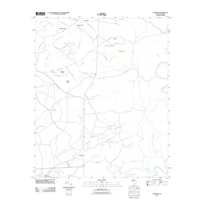 2011 Leesburg2011 Print · USGSRichland County at the start of the decade shows a landscape of creek-side settlements and rural burial grounds. Genealogists and local historians can locate Mount Prospect Cemetery, the waters of English Pond, and the namesake village of Leesburg.
 - 2011 Map of Irmo, 2011 Print
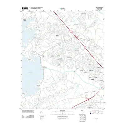 2011 Irmo2011 Print · USGSThe suburbs northwest of Columbia were expanding rapidly during the first decade of the millennium. Local researchers can trace family landmarks like the Bauknight Cemetery and Zion Cemetery or follow the shoreline from Hollywood Point to the massive Saluda Dam.
 - 2011 Map of Fort Jackson North, 2011 Print
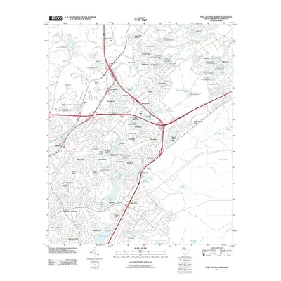 2011 Fort Jackson North2011 Print · USGSRichland County's northern suburbs and the edges of Fort Jackson are documented here during a period of significant residential and institutional growth. Researchers can locate family landmarks like Beulah Cemetery or trace the development of communities like Dentsville and Springhill.
 - 2011 Map of Columbia North, 2011 Print
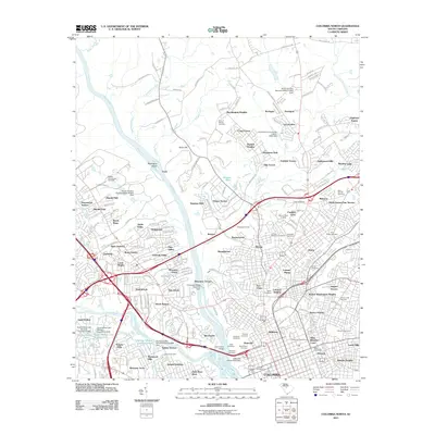 2011 Columbia North2011 Print · USGSColumbia’s northern reaches are detailed here in the early twenty-first century, showing the intersection of the Broad and Saluda Rivers. Genealogists and historians can trace numerous burial grounds and civic landmarks, from Elmwood Cemetery to the historic grounds of Allen University.
 - 2011 Map of Richtex, 2011 Print
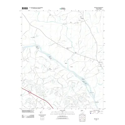 2011 Richtex2011 Print · USGSRichland County at the turn of the decade shows a landscape shaped by the Broad River and its numerous shoals. Genealogists and local historians can trace family locations through sites like Saint Pauls Cemetery, Van Cemetery, and the settlement at Cedar Creek.
 - 2011 Map of Messers Pond, 2011 Print
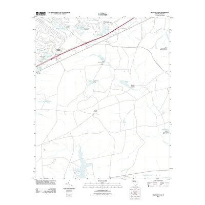 2011 Messers Pond2011 Print · USGSIn the early 21st century, this Richland County landscape shows a unique network of residential growth woven around managed waterways. Genealogists and researchers can locate Salem Cemetery, Bells Camp, and prominent landmarks like the Weir Tower.
 - 2011 Map of Elgin, 2011 Print
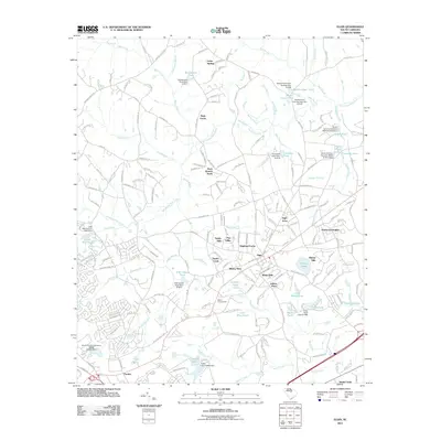 2011 Elgin2011 Print · USGSRichland County's residential and rural landscape comes into focus during this early twenty-first century period. Researchers can trace local development through neighborhood names like Tupelo Hills and Blaney West or locate the historic Bethel Campground.
 - 2011 Map of Southwest Columbia, 2011 Print
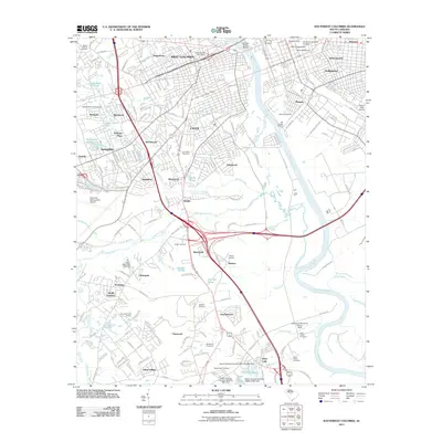 2011 Southwest Columbia2011 Print · USGSColumbia and its surrounding cities thrive along the Congaree River in the early twenty-first century. Genealogists and historians can trace neighborhood growth through dozens of cemeteries like Olympia Cemetery and Saint Johns Cemetery or locate landmarks like the Styx State Fish Hatchery.
 - 2014 Map of Irmo, 2014 Print
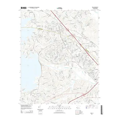 2014 Irmo2014 Print · USGSGreater Irmo and the Lake Murray shoreline are captured in detail during a period of rapid suburban growth in the mid-2010s. Genealogists and local researchers can locate family sites at Bauknight Cem, Golden Cem, and the historic Salem Church.
 - 2014 Map of Fort Jackson South, 2014 Print
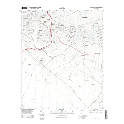 2014 Fort Jackson South2014 Print · USGSSoutheast Columbia and the outskirts of Fort Jackson are documented here in the early 2010s, showing a landscape of dense residential subdivisions and local waterways. Researchers can locate specific family sites near Green Lawn Memorial Park, Heathwood, and the Jim Hamilton LB Owens Airport.
 - 2014 Map of Richtex, 2014 Print
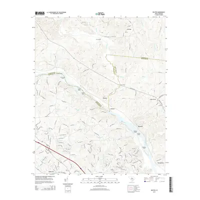 2014 Richtex2014 Print · USGSThe Broad River corridor on the Fairfield and Richland county line comes into focus in the early twenty-first century. Genealogists and local historians can trace family burial sites at Saint Pauls Cem and Robinson Cem or locate river landmarks like Haltiwanger Island.
 - 2014 Map of Messers Pond, 2014 Print
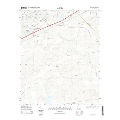 2014 Messers Pond2014 Print · USGSRichland and Kershaw counties are shown here in the early twenty-first century as suburban growth meets military reservation land. Genealogists can trace family sites at Salem Cem and Bardell Graveyard or locate landmarks like Chimney Ridge and Westons Pond.
 - 2014 Map of Southwest Columbia, 2014 Print
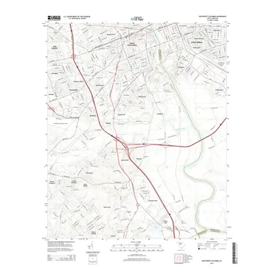 2014 Southwest Columbia2014 Print · USGSThe Congaree River corridor serves as the heart of this mid-2010s landscape, connecting the capital city to its western suburbs. Researchers can trace local heritage through numerous burial sites like Celestial Memorial Gardens and the Olympia Cemetery.
 - 2014 Map of Elgin, 2014 Print
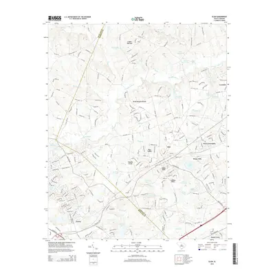 2014 Elgin2014 Print · USGSRichland and Kershaw Counties come together in this 2010s survey of the growing corridor between Columbia and Camden. Genealogists and local historians can trace the development of Elgin and Pontiac while locating landmarks like Lotts Mill Pond and Jeffers Place.
 - 2014 Map of Leesburg, 2014 Print
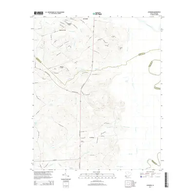 2014 Leesburg2014 Print · USGSThe Richland County interior in the early 2010s shows a landscape of timbered creek bottoms and high ground between the Wateree and the capital. Researchers can trace family lines and old homesteads near Leesburg, Pine Grove Cem, and Mt Prospect Cem.
 - 2014 Map of Columbia North, 2014 Print
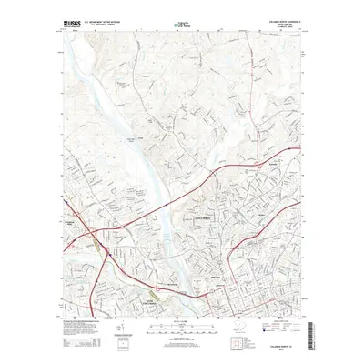 2014 Columbia North2014 Print · USGSColumbia and its surrounding neighborhoods in the mid-2010s are shown here at a moment of continued urban density and historical preservation. Researchers can trace genealogical roots through numerous sites like Leevy Cem and Taylor Burying Ground or locate prominent institutions such as Columbia Coll.
 - 2014 Map of Congaree, 2014 Print
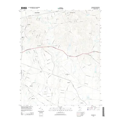 2014 Congaree2014 Print · USGSRichland County southeast of Columbia exhibits a mix of military presence and rural Southern crossroads in the early twenty-first century. Genealogists and local historians can trace family-named sites like Logues Cem and early settlements including Hopkins, Horrel Hill, and Bruner.
 - 2014 Map of Fort Jackson North, 2014 Print
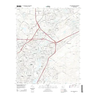 2014 Fort Jackson North2014 Print · USGSRichland County north of Columbia shows a landscape of rapid suburban expansion and established parklands during the mid-2010s. Genealogists and local historians can trace landmarks like Beulah Cem, the Orphanage, and the vast Sesquicentennial State Park.
 - 2017 Map of Congaree, 2017 Print
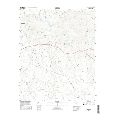 2017 Congaree2017 Print · USGSRichland County at the edge of the state capital is captured here in the late 2010s, showcasing a mix of military installations and rural crossroads. Researchers can trace family history through Logues Cem or explore the area surrounding Hopkins and Horrel Hill.
 - 2017 Map of Fort Jackson South, 2017 Print
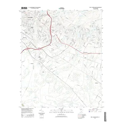 2017 Fort Jackson South2017 Print · USGSSoutheast of Columbia in the late 2010s, urban development meets the dense wetlands of the coastal plain. Researchers can trace the growth of Valencia Heights and Arthurtown or locate family sites at Childs Cemetery and Adams Pond.
 - 2017 Map of Irmo, 2017 Print
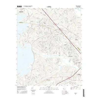 2017 Irmo2017 Print · USGSRichland and Lexington counties come together here at the turn of the millennium, showing the dense growth northwest of Columbia. Local historians can trace family roots through several old burial grounds like Bauknight Cem or follow the shoreline of Lake Murray past Rocky Point.
 - 2017 Map of Richtex, 2017 Print
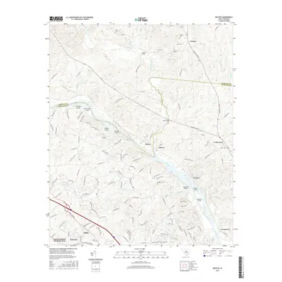 2017 Richtex2017 Print · USGSThe Broad River valley north of Irmo appears in detail during a period of modern growth and preserved rural history. Researchers can trace family roots through numerous small burial grounds like Cedar Creek Cem and Mann Cem, or locate riverside settlements at Richtex and Littleton.
 - 2017 Map of Columbia North, 2017 Print
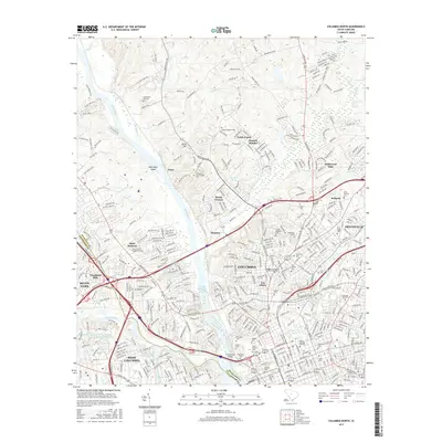 2017 Columbia North2017 Print · USGSColumbia is shown at a modern peak of urban and academic density during the late twenty-teens. Researchers can trace historic family burial sites at the Taylor Burying Ground and Elmwood Cem or locate the campuses of Allen Univ and Columbia Coll.
Showing maps 1-25 of 50
Top cities near Columbia
- Lexington historical maps
- West Columbia historical maps
- Cayce historical maps
- Forest Acres historical maps
- Lugoff historical maps
- Blythewood historical maps
See more
Top neighborhoods of Columbia
- Saint Marks Wood historical maps
- Hampton Ridge historical maps
- Heritage Woods historical maps
- Sims historical maps
- Brandon Hills historical maps
- Yorkshire historical maps
See more
Frequently asked questions
- What are the different types of historical maps available for Columbia?
- What is the oldest map of Columbia?
- Where can I purchase historical maps of Columbia for my home or office?
- Where can I download high-res historical maps of Columbia?
- Are there historical topographic maps available for Columbia?
- Is there historical aerial imagery available for Columbia?
- Where are historical maps of Columbia sourced from?