2020s Maps of Spartanburg County, South Carolina
Explore 44 historic maps of Spartanburg County from the 2020s. These maps offer a rare glimpse into what life looked like during the 2020s — showing old roads, neighborhoods, homes, and landmarks that have changed or disappeared over time.
Whether you're researching your family's past, planning a metal detecting trip, or studying how Spartanburg County's landscape evolved across the 2020s, these high-resolution maps are a powerful tool for exploring the history of this region.
- Focus on a specific era: All maps on this page are from the 2020s, giving you a focused view of this time period.
- See what’s changed: Compare century-old streets, trails, and buildings to today's modern landscape using overlays and satellite layers.
- Research with precision: Use these maps for genealogy, historical research, land use analysis, or educational projects.
- View, download, or print: Maps are fully viewable online in high resolution, and can be downloaded or printed for your own records.
Start exploring Spartanburg County's history through authentic maps from the 2020s. This is your window into the past.
Spartanburg County, SC maps
(44)- 2020 Map of Inman, 2020 Print
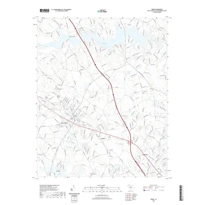 2020 Inman2020 Print · USGSModern Spartanburg County is shown here at a moment of transition for its textile towns and rural corridors. Genealogists and local historians can trace the neighborhoods of Inman Mills, locate family plots at Roselawn Memorial Gardens, or identify sites near Campton and Dodd Hill.
 - 2020 Map of Fingerville West, 2020 Print
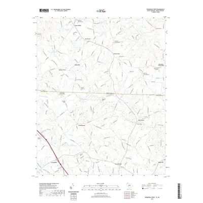 2020 Fingerville West2020 Print · USGSCrossing the state line between the Carolinas in the modern era, this map shows the rural communities of Spartanburg and Polk counties. Genealogists can trace family landmarks and local congregations at Melvin Hill Church of the Brethren and Sandy Plains.
 - 2020 Map of Landrum, 2020 Print
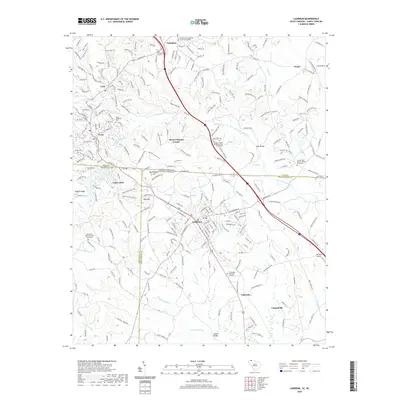 2020 Landrum2020 Print · USGSThe foothills of the Carolinas come alive in this recent survey of the border region between Landrum and Tryon. Genealogists can trace family sites at the Good Shepherd Cem or Oak Grove Baptist Church Graveyard while following the path of the North Pacolet River.
 - 2020 Map of Campobello, 2020 Print
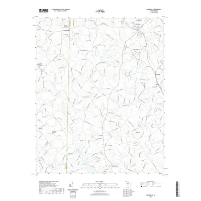 2020 Campobello2020 Print · USGSThe northern reaches of Spartanburg County come into focus during this era of rural development and agricultural heritage. Researchers can trace family sites near Gowensville First Baptist Church Graveyard, the waters of Lyman Lake, and the historic Campobello Gramling School.
 - 2020 Map of Cowpens, 2020 Print
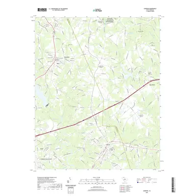 2020 Cowpens2020 Print · USGSThe Spartanburg and Cherokee County borderlands are shown here in the contemporary era, centered on the landmark Cowpens National Battlefield. Genealogists and local historians can trace family locations near Mayo Mills, Waters Cem, and Love Springs Baptist Church.
 - 2020 Map of Chesnee, 2020 Print
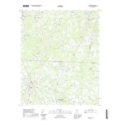 2020 Chesnee2020 Print · USGSThe Carolina borderlands come alive in this modern survey, showcasing the intersection of Revolutionary War history and rural Piedmont life. Researchers can locate many family burial grounds and landmarks like Cowpens National Battlefield, Harris First Baptist Church Cem, and Jolleys Lake.
 - 2020 Map of Fingerville East, 2020 Print
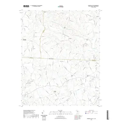 2020 Fingerville East2020 Print · USGSThe Carolina borderlands north of Spartanburg are defined by the winding Broad River and its rural crossroads communities. Researchers can locate numerous family burial grounds and historical sites like Trinity United Methodist Graveyard, Fingerville, and Pores Ford Bridge.
 - 2020 Map of Valley Falls, 2020 Print
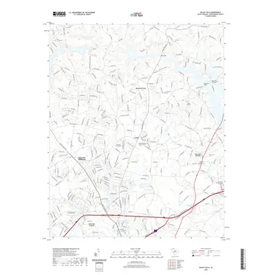 2020 Valley Falls2020 Print · USGSSpartanburg County's northern residential and rural corridors are captured here in the early twenty-first century. Researchers can trace family history through numerous church sites and burial grounds like Buck Creek Baptist Church Graveyard and the Abbott Cemetery.
 - 2020 Map of Moore, 2020 Print
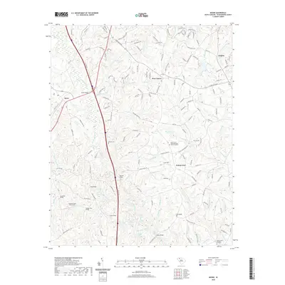 2020 Moore2020 Print · USGSSpartanburg County's river-rich landscape comes to life in this modern survey of the Tyger River forks. Genealogists and historians can locate ancestral sites at Walnut Grove United Methodist Church Graveyard, Cathcart Cem, and the river crossing at Marches Bridge.
 - 2020 Map of Philson Crossroads, 2020 Print
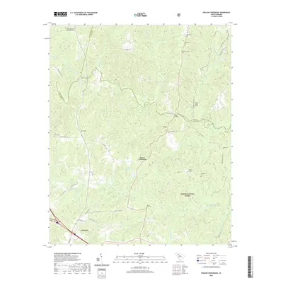 2020 Philson Crossroads2020 Print · USGSLaurens County rural life and the Enoree River corridor are captured here during the early twenty-first century. Genealogists and local historians can locate numerous small burial sites like Shiloh Cem or trace the early water-powered history at Goudelock Mill Falls.
 - 2020 Map of Reidville, 2020 Print
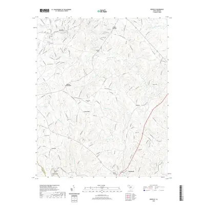 2020 Reidville2020 Print · USGSSpartanburg County's river-carved landscape comes into focus in this recent survey of the Upstate Piedmont. Genealogists and local historians can trace family roots through landmarks like Cedar Grove Baptist Church Graveyard, Penden Cem, and the historic Andersons Bridge.
 - 2020 Map of Pacolet, 2020 Print
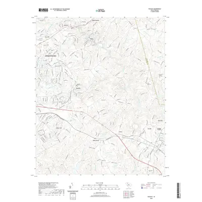 2020 Pacolet2020 Print · USGSIn the Spartanburg area during the late twenty-teens, the river-and-rail corridor supported a network of historic mill towns and rural settlements. Genealogists can trace local roots through numerous burial sites including Clifton Cem, Bagwell Cem, and Lebanon Cem.
 - 2020 Map of Pelham, 2020 Print
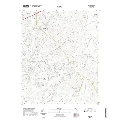 2020 Pelham2020 Print · USGSThis modern survey captures the rapidly growing Upstate corridor between Greer and Simpsonville at the start of the 2020s. Researchers can locate numerous historic family sites and rural landmarks, from Bells Crossroads to the Five Forks Baptist Church Graveyard.
 - 2020 Map of Glenn Springs, 2020 Print
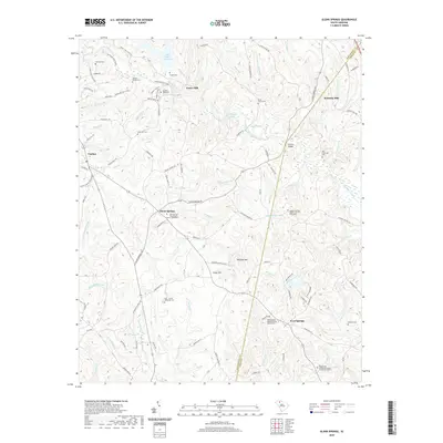 2020 Glenn Springs2020 Print · USGSIn the rolling Piedmont during the early 21st century, this area of South Carolina reveals a landscape thick with family history and old mill sites. Genealogists can trace ancestral roots at the Antioch Graveyard or the Oeland Family Cem, while locating the historical positions of Foster Mill and Kennedy Mill.
 - 2020 Map of Wellford, 2020 Print
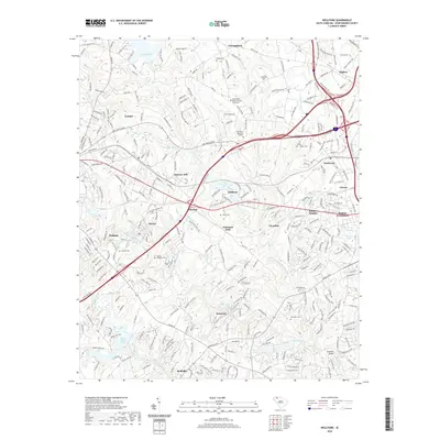 2020 Wellford2020 Print · USGSSpartanburg County's industrial heartland comes into focus during this modern era of development. Genealogists and historians can trace textile roots and family burials at Fairmont Mills, Startex Cem, and the Mount Zion Baptist Church Graveyard.
 - 2020 Map of Pacolet Mills, 2020 Print
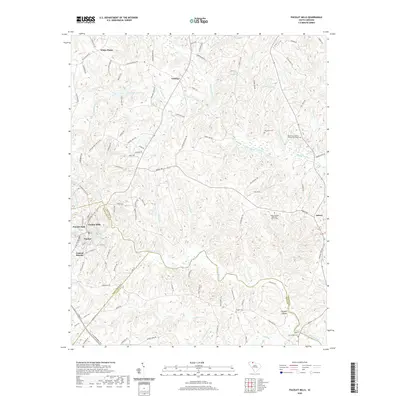 2020 Pacolet Mills2020 Print · USGSThe industrial and rural landscapes of Spartanburg and Union counties come alive in this recent survey. Genealogists and historians can trace family locations near Pacolet Mills, Grindall Shoals, and the Whig Hill Cem.
 - 2020 Map of Ora, 2020 Print
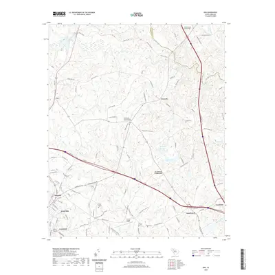 2020 Ora2020 Print · USGSThe Piedmont country between LAURENS and CLINTON is shown here as it appeared in 2020. Local researchers can trace family landmarks and rural communities from Watts Mills to Tylersville, including the Sandy Springs United Methodist Church Graveyard and Old Clinton Reservoir.
 - 2020 Map of Enoree, 2020 Print
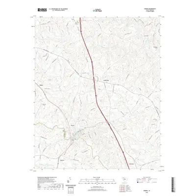 2020 Enoree2020 Print · USGSThe Enoree and Tyger River valleys are captured here at the Laurens and Spartanburg county line in the modern era. Genealogists and local researchers can trace family land via roads like Price House Rd and locate the Unity Baptist Church Graveyard.
 - 2020 Map of Woodruff, 2020 Print
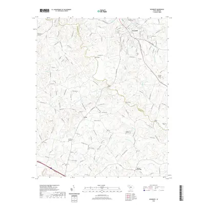 2020 Woodruff2020 Print · USGSWoodruff and the surrounding rural landscape at the Spartanburg-Laurens county line are detailed in this recent survey. Researchers can trace family roots at Friendship Baptist Church, locate historic river crossings like Nesbits Bridge, or explore the terrain near Mordeci Mountain.
 - 2020 Map of Spartanburg, 2020 Print
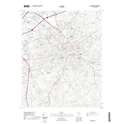 2020 Spartanburg2020 Print · USGSSpartanburg and its surrounding Piedmont suburbs are captured here during a period of modern growth and academic expansion. Researchers can trace family history through numerous sites like Magnolia Street Cem, Saxon, and the historic campus of Wofford College.
 - 2020 Map of Cross Anchor, 2020 Print
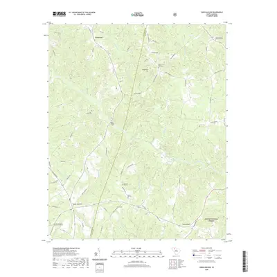 2020 Cross Anchor2020 Print · USGSThe rural Piedmont of Spartanburg and Union Counties is shown here in the recent past, centered on the crossroads at Cross Anchor. Genealogists can trace family names through numerous sites like Lawson Cemetery and the Putman Baptist Church Graveyard.
 - 2020 Map of Greer, 2020 Print
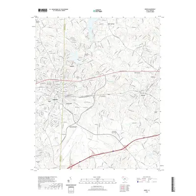 2020 Greer2020 Print · USGSThe Greenville and Spartanburg county line comes alive in this 2020 map of the GREER area. Local researchers can trace modern landmarks like the Greenville Spartanburg International Airport alongside older sites such as Victor Mills and Washington Baptist Church.
 - 2024 Map of Moore, 2024 Print
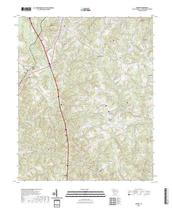 2024 Moore2024 Print · USGSSpartanburg County's river-cut landscape is detailed here in the contemporary era, showing the enduring rural character of the Piedmont. Genealogists can locate family landmarks such as the Golightly Harris Cem or historic meeting places like Walnut Grove United Methodist Church and Moore Chapel Baptist Church.
 - 2024 Map of Pelham, 2024 Print
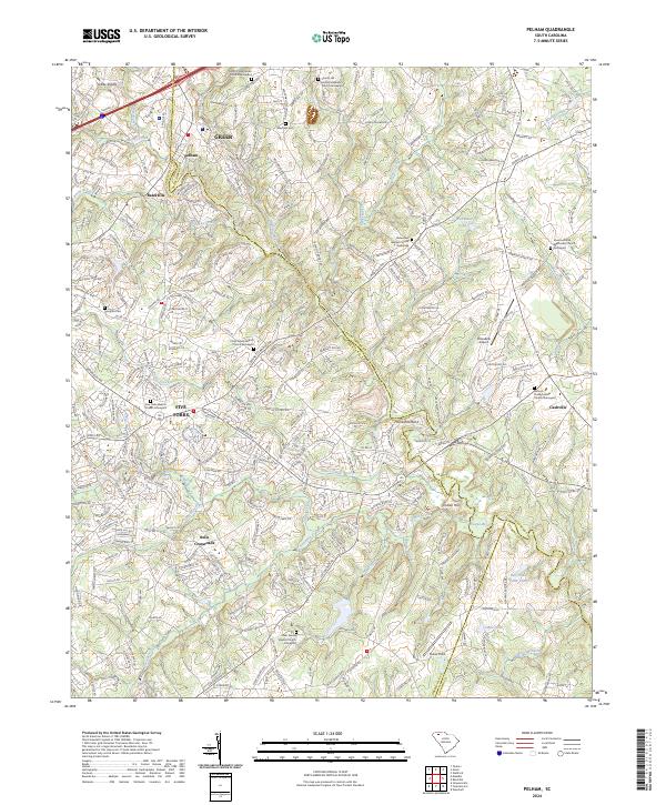 2024 Pelham2024 Print · USGSThe Greenville-Spartanburg borderlands come into focus here, showing the modern suburban evolution of the South Carolina Piedmont. Genealogists can trace family roots through numerous historic churchyards like Antioch Presbyterian Church Graveyard and Liberty Hill United Methodist Church Graveyard.
 - 2024 Map of Woodruff, 2024 Print
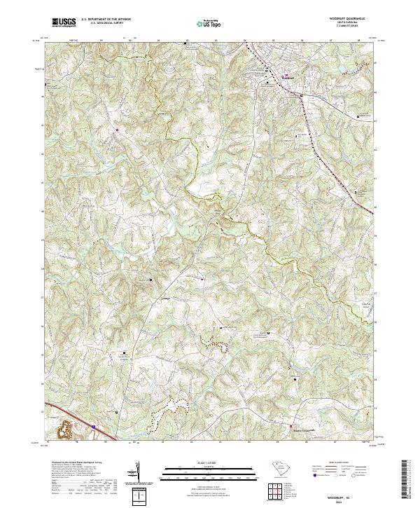 2024 Woodruff2024 Print · USGSWoodruff and the surrounding Spartanburg and Laurens county borderlands are shown here in a recent survey. Researchers can trace family history through a high concentration of sites like Old Bethel Baptist Cem, Wrights Cem, and the river crossing at McKees Ferry.
Showing maps 1-25 of 44
Top cities of Spartanburg County
- Spartanburg historical maps
- Lyman historical maps
- Woodruff historical maps
- Inman historical maps
- Duncan historical maps
- Pacolet historical maps
See more
Frequently asked questions
- What are the different types of historical maps available for Spartanburg County?
- What is the oldest map of Spartanburg County?
- Where can I purchase historical maps of Spartanburg County for my home or office?
- Where can I download high-res historical maps of Spartanburg County?
- Are there historical topographic maps available for Spartanburg County?
- Is there historical aerial imagery available for Spartanburg County?
- Where are historical maps of Spartanburg County sourced from?