Old Maps of Dutchman, South Carolina
Explore 12 old maps of Dutchman, spanning from 1941 to today. These high-resolution historic maps reveal how streets, neighborhoods, landmarks, and natural features evolved over time — perfect for genealogy, metal detecting, research, and local history exploration.
What you can do with these maps:
- See how Dutchman changed over time: Compare historical maps to modern-day views to trace roads, homesites, rail lines & more.
- View detailed metadata: Each map includes creators, publishers, year, scale, and archive source.
- Overlay maps with satellite & LiDAR: Visualize the past alongside modern tools to explore terrain & human change.
- Trusted historical sources: Maps sourced from the USGS, Library of Congress, and other archives.
- Access maps your way: View online, download high-res files, or order prints for personal or research use.
Start exploring old maps of Dutchman to uncover forgotten places, hidden landmarks, and the deep history beneath your feet.
Dutchman, SC maps
(12)- 1941 Map of Spartanburg
 1941 Spartanburg1941 Print · USGSSouth Carolina’s Piedmont and Sandhills regions are shown here during the mid-century peak of the rail era. Researchers can trace the sprawling Fort Jackson Military Reservation and the industrial growth of hubs like Spartanburg and Rock Hill.
 - 1953 Map of Spartanburg, 1966 Print
 1953 Spartanburg1966 Print · USGSMid-century South Carolina comes into focus through this survey of the Piedmont and the Sand Hills at a time of significant reservoir expansion. Researchers can trace the legacy of industrial transit and resource extraction from the Haile Gold Mine to the rail hubs of the Seaboard Air Line.4 unique versions available
 - 1960 Map of Spartanburg
 1960 Spartanburg1960 Print · USGSThe South Carolina Piedmont and North Carolina borderlands come alive in this mid-century survey of the region between Spartanburg and Columbia. Researchers can trace the Seaboard Air Line railroad and explore landmarks like Anderson Quarry, Lake Murray, and Mount Croghan.2 unique versions available
 - 1963 Map of Spartanburg
 1963 Spartanburg1963 Print · USGSMid-century South Carolina comes alive in this survey, showing the rail-linked corridor between the Upstate and the Midlands. Genealogists can trace family lands near old hubs like Union and Lancaster, or along the banks of the Broad River and Pee Dee River.
 - 1964 Map of Spartanburg
 1964 Spartanburg1964 Print · USGSMid-century South Carolina comes alive in this survey of the Piedmont and Upcountry, stretching from the Blue Ridge foothills to the Sandhills. Genealogists and historians can trace the rail-and-river economy through Monarch Mills, Glenn Springs, and the Southern Railway corridor.
 - 1969 Map of Cross Anchor, 1972 Print
 1969 Cross Anchor1972 Print · USGSThe rural Piedmont of the late sixties comes into focus here, showing the wooded creek bottoms and family farms of southern Spartanburg County. Researchers can locate community centers like Cross Anchor and Cross Keys, alongside several old burial sites like Belmont Cem.4 unique versions available
 - 1986 Map of Spartanburg
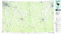 1986 Spartanburg1986 Print · USGSUpstate South Carolina is captured here in the mid-1980s, showcasing the region's transition from a textile-driven rail corridor to a modern interstate hub. Researchers can trace the legacy of the SOUTHERN railroad through mill towns like Glendale or explore the wooded reaches of the Sumter National Forest.2 unique versions available
 - 2011 Map of Cross Anchor, 2011 Print
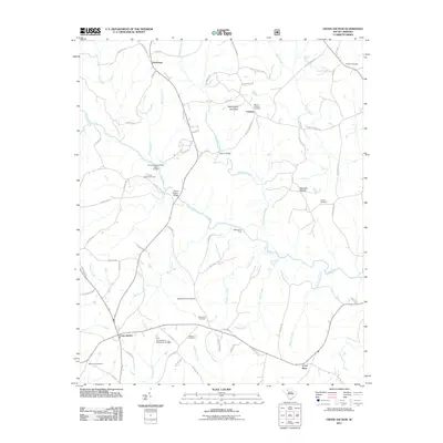 2011 Cross Anchor2011 Print · USGSThis South Carolina landscape at the start of the twenty-first century reveals a deeply rooted rural community shaped by the Tyger River. Genealogists can trace family footprints across several sites, including Grace Chapel Cemetery, Blackstocks Ford, and the settlement of Cross Anchor.
 - 2014 Map of Cross Anchor, 2014 Print
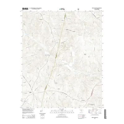 2014 Cross Anchor2014 Print · USGSUpper South Carolina's Piedmont region is captured here in the early twenty-first century, centered on the rural crossroads of Cross Anchor and Cross Keys. Researchers can trace the legacy of early families and river crossings through landmarks like Burnt Factory Bridge, Blackstocks Ford, and Lawson Cem.
 - 2017 Map of Cross Anchor, 2017 Print
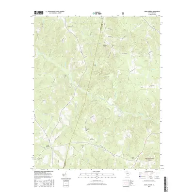 2017 Cross Anchor2017 Print · USGSThe Piedmont of South Carolina is captured here in the mid-2010s, showing the rural crossroads of Cross Anchor and Dutchman. Family historians can trace local roots through numerous sites like Blackstock Road Cem, Spring Hill Cem, and the river crossing at Burnt Factory Bridge.
 - 2020 Map of Cross Anchor, 2020 Print
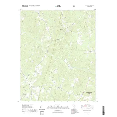 2020 Cross Anchor2020 Print · USGSThe rural Piedmont of Spartanburg and Union Counties is shown here in the recent past, centered on the crossroads at Cross Anchor. Genealogists can trace family names through numerous sites like Lawson Cemetery and the Putman Baptist Church Graveyard.
 - 2024 Map of Cross Anchor, 2024 Print
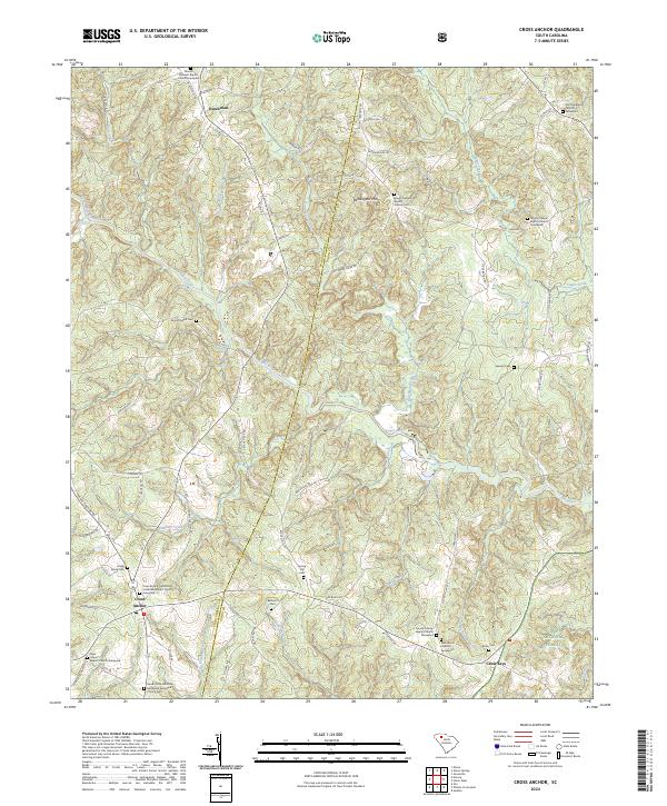 2024 Cross Anchor2024 Print · USGSIn the Spartanburg and Union county borderlands, this modern survey highlights a region of historic churches and family burial grounds. Researchers can locate specific sites like the Foster Family Cem, Belmont Cem, and Cross Keys along the Tyger River.
End of results
Showing maps 1-12 of 12
Top cities near Dutchman
- Spartanburg historical maps
- Laurens historical maps
- Union historical maps
- Clinton historical maps
- Woodruff historical maps
- Pacolet historical maps
See more
Frequently asked questions
- What are the different types of historical maps available for Dutchman?
- What is the oldest map of Dutchman?
- Where can I purchase historical maps of Dutchman for my home or office?
- Where can I download high-res historical maps of Dutchman?
- Are there historical topographic maps available for Dutchman?
- Is there historical aerial imagery available for Dutchman?
- Where are historical maps of Dutchman sourced from?