
1969 Map of Cross Anchor
USGS Topo · Published 1972About this map
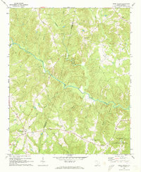
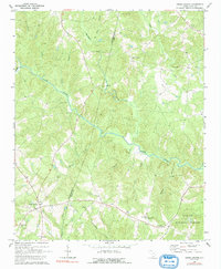
The Tyger River meanders through a landscape of deeply dissected ridges and creek bottoms in this late 1960s survey of the South Carolina Piedmont. Centered on the crossroads of Cross Anchor, the map documents a rural community defined by its network of family-named watercourses and country churches. The southern portion of the quadrangle is largely occupied by the Sumter National Forest, where the terrain drops toward Frenchman Creek and Elishas Creek.
Find a feature on this map
30 named features on this map. Tap any name to fly to it.
Don’t see what you’re looking for? This feature index may not catch every label — zoom into the map to look around manually.
Map Details
Editions of this 1969 Cross Anchor Map
4 editions found

Other maps of this area

1941 · Spartanburg
USGS Topo · 1:250,000

1947 · Spartanburg
USGS Topo · 1:62,500

1949 · Spartanburg
USGS Topo · 1:62,500

1953 · Spartanburg
USGS Topo · 1:250,000

1960 · Spartanburg
USGS Topo · 1:250,000

1963 · Spartanburg
USGS Topo · 1:250,000

1964 · Spartanburg
USGS Topo · 1:250,000

1969 · Ora
USGS Topo · 1:24,000
1969 · Enoree
USGS Topo · 1:24,000

1969 · Union West
USGS Topo · 1:24,000