
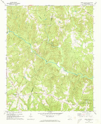
1969 Map of Cross Anchor
USGS Topo · Published 1973About this map
The Tyger River winds through the rural landscape of the Spartanburg and Union border, anchoring a region defined by scattered settlements and many country churches. Established community centers like Cross Anchor and Cross Keys are mapped alongside smaller areas like Belmont, providing a detailed look at the social geography of the late 1960s. The map illustrates a high density of religious and burial sites that are vital for local genealogy, including Mt Lebanon Ch, Wyatts Chapel, and the Belmont Cem.
Find a feature on this map
29 named features on this map. Tap any name to fly to it.
Don’t see what you’re looking for? This feature index may not catch every label — zoom into the map to look around manually.
Map Details
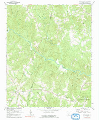
Editions of this 1969 Cross Anchor Map
4 editions found
Other maps of this area

1941 · Spartanburg
USGS Topo · 1:250,000

1947 · Spartanburg
USGS Topo · 1:62,500

1949 · Spartanburg
USGS Topo · 1:62,500

1953 · Spartanburg
USGS Topo · 1:250,000

1960 · Spartanburg
USGS Topo · 1:250,000

1963 · Spartanburg
USGS Topo · 1:250,000

1964 · Spartanburg
USGS Topo · 1:250,000

1969 · Cross Anchor
USGS Topo · 1:24,000

1969 · Ora
USGS Topo · 1:24,000
1969 · Enoree
USGS Topo · 1:24,000