Old Maps of Oswego, South Carolina for Hiking & Exploration
Hike through history with 13 historic maps of Oswego. Explore old trails, ghost towns, and forgotten backroads — perfect for outdoor adventurers and local explorers.
- Rediscover forgotten places: Map out old mining camps, roads, and footpaths that no longer exist on modern maps.
- Layer with modern tools: Combine with LiDAR or satellite views to plan hikes through historical terrain.
- Made for exploration: Popular among hikers, overlanders, and local history lovers.
Use these maps to find adventure and explore the hidden past of Oswego.
Oswego, SC maps
(13)- 1941 Map of Spartanburg
 1941 Spartanburg1941 Print · USGSSouth Carolina’s Piedmont and Sandhills regions are shown here during the mid-century peak of the rail era. Researchers can trace the sprawling Fort Jackson Military Reservation and the industrial growth of hubs like Spartanburg and Rock Hill.
 - 1953 Map of Spartanburg, 1966 Print
 1953 Spartanburg1966 Print · USGSMid-century South Carolina comes into focus through this survey of the Piedmont and the Sand Hills at a time of significant reservoir expansion. Researchers can trace the legacy of industrial transit and resource extraction from the Haile Gold Mine to the rail hubs of the Seaboard Air Line.4 unique versions available
 - 1957 Map of Ashwood, 1958 Print
 1957 Ashwood1958 Print · USGSThe rural landscapes of Lee and Sumter counties are captured here in the late fifties, during an era of significant agricultural and social transition. Researchers can trace the legacy of New Deal planning at Ashwood, locate family roots at Bethlehem Cems, or follow the Seaboard Air Line through Bishopville.2 unique versions available
 - 1960 Map of Spartanburg
 1960 Spartanburg1960 Print · USGSThe South Carolina Piedmont and North Carolina borderlands come alive in this mid-century survey of the region between Spartanburg and Columbia. Researchers can trace the Seaboard Air Line railroad and explore landmarks like Anderson Quarry, Lake Murray, and Mount Croghan.2 unique versions available
 - 1963 Map of Spartanburg
 1963 Spartanburg1963 Print · USGSMid-century South Carolina comes alive in this survey, showing the rail-linked corridor between the Upstate and the Midlands. Genealogists can trace family lands near old hubs like Union and Lancaster, or along the banks of the Broad River and Pee Dee River.
 - 1964 Map of Spartanburg
 1964 Spartanburg1964 Print · USGSMid-century South Carolina comes alive in this survey of the Piedmont and Upcountry, stretching from the Blue Ridge foothills to the Sandhills. Genealogists and historians can trace the rail-and-river economy through Monarch Mills, Glenn Springs, and the Southern Railway corridor.
 - 1986 Map of Camden South
 1986 Camden South1986 Print · USGSThe South Carolina midlands come into focus in the mid-eighties, showing the sprawling corridors between the Wateree and Lynches Rivers. Genealogists and historians can trace family roots through numerous mill sites and rural junctions like Boykin, Lucknow, and Hermitage Mill Pond.4 unique versions available
 - 1988 Map of Oswego
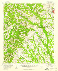
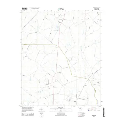
 1988 Oswego1988 Print · USGSSumter and Lee Counties appear in the late 1980s as a landscape of rural hamlets intertwined with vast swamp networks. Genealogists and local historians can trace family roots around Ashwood, Oswego, and DuBose Crossroads or explore the drainage of Scape Ore Swamp.
 - 2011 Map of Oswego, 2011 Print
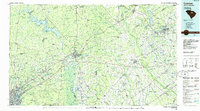
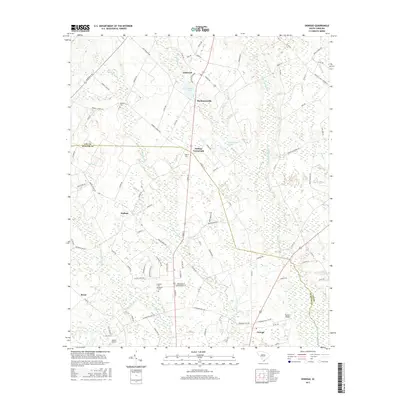
 2011 Oswego2011 Print · USGSCovers Oswego, including Ashwood, DuBose, and other nearby areas
 - 2014 Map of Oswego, 2014 Print
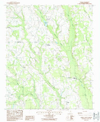
 2014 Oswego2014 Print · USGSCovers Oswego, including Ashwood, DuBose, and other nearby areas
 - 2017 Map of Oswego, 2017 Print
 2017 Oswego2017 Print · USGSCovers Oswego, including Ashwood, DuBose, and other nearby areas
 - 2020 Map of Oswego, 2020 Print
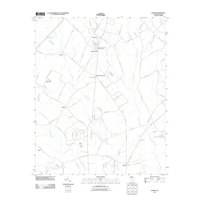
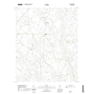 2020 Oswego2020 Print · USGSCovers Oswego, including Ashwood, DuBose, and other nearby areas
 - 2024 Map of Oswego, 2024 Print
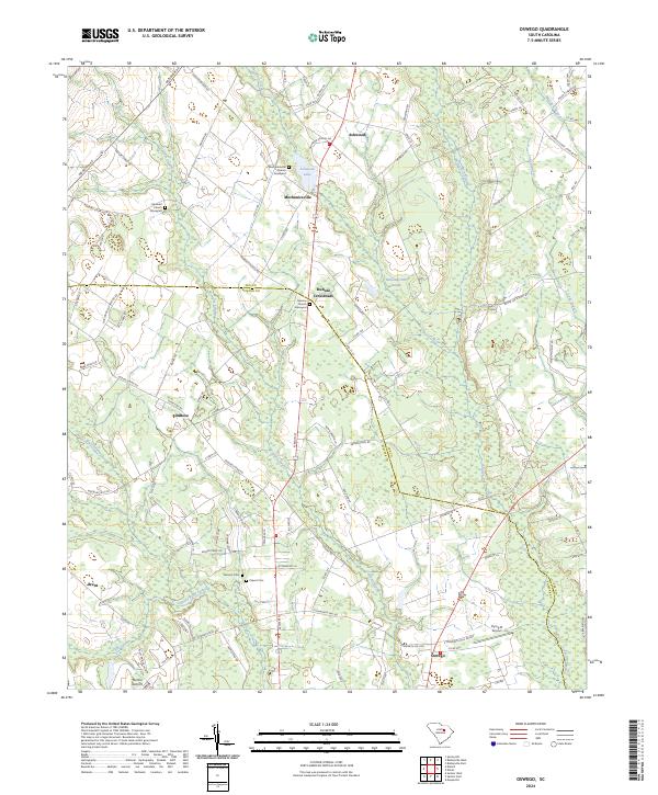 2024 Oswego2024 Print · USGSSumter and Lee Counties are documented in this recent survey of the South Carolina lowlands. Researchers can trace historical community sites like Mechanicsville Church or locate family roots near Antioch Cem and Ashwood Lake.
End of results
Showing maps 1-13 of 13
Top cities near Oswego
- Sumter historical maps
- Bishopville historical maps
- Mayesville historical maps
- Lamar historical maps
- Lynchburg historical maps
Frequently asked questions
- What are the different types of historical maps available for Oswego?
- What is the oldest map of Oswego?
- Where can I purchase historical maps of Oswego for my home or office?
- Where can I download high-res historical maps of Oswego?
- Are there historical topographic maps available for Oswego?
- Is there historical aerial imagery available for Oswego?
- Where are historical maps of Oswego sourced from?