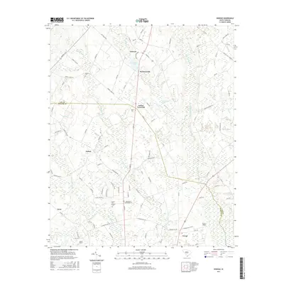
2017 Map of Oswego
USGS Topo · Published 2017About this map
Ashwood and the surrounding coastal plain of the South Carolina Midlands are defined by an intricate network of wetlands and small agricultural communities. This 2017 survey shows the landscape as it straddles the boundary between Lee and Sumter Counties, where the slow-moving waters of Scape Ore Swamp and Rocky Bluff Swamp weave between long-established settlements. The area maintains a rural character centered on junctions like DuBose Crossroads and Mechanicsville, which are connected by a grid of county roads such as Rembert Church Rd and Woodrow Rd.
Find a feature on this map
92 named features on this map. Tap any name to fly to it.
Don’t see what you’re looking for? This feature index may not catch every label — zoom into the map to look around manually.
Map Details
Editions of this 2017 Oswego Map
This is the sole edition of this map. No revisions or reprints were ever made.
Other maps of this area
1920 · Mayesville
USGS Topo · 1:48,000
1921 · Mayesville
USGS Topo · 1:62,500
1941 · Spartanburg
USGS Topo · 1:250,000
1943 · Mayesville
USGS Topo · 1:62,500
1946 · Sumter
USGS Topo · 1:62,500
1953 · Spartanburg
USGS Topo · 1:250,000
1954 · Augusta
USGS Topo · 1:250,000
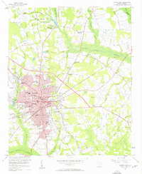
1957 · Sumter East
USGS Topo · 1:24,000
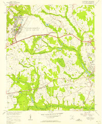
1957 · Sumter West
USGS Topo · 1:24,000
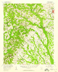
1957 · Ashwood
USGS Topo · 1:62,500