Old Maps of Shiloh, South Carolina for Academic Research
Study the evolution of Shiloh with 16 high-resolution historic maps. Whether you're teaching, researching, or modeling changes in land use, these maps provide essential visual documentation of urban, environmental, and geographic change.
- Analyze long-term change: Track patterns in development, transportation, and natural features.
- Ideal for environmental or urban studies: Support academic projects with primary historical map data.
- Use in the classroom or lab: Educators and researchers rely on these maps to bring historical context to life.
These maps are a powerful tool for teaching, research, and visualizing how Shiloh has changed over the decades.
Shiloh, SC maps
(16)- 1920 Map of Mayesville
 1920 Mayesville1920 Print · USGSThe rural lowcountry of Sumter and Clarendon counties is captured here in the years following World War I, when the Black River and its dense swamps dictated the pace of local life. Researchers can trace early twentieth-century community life through numerous rural landmarks like Brick Church, Tomlinson School, and the path of the Alcolu RR.
 - 1921 Map of Mayesville
 1921 Mayesville1921 Print · USGSThe rural lowcountry of Sumter and Clarendon counties comes into focus during the early 1920s as the railroad era reached its peak. Researchers can trace historic family-named landmarks like Frierson's Store, numerous rural houses of worship such as Beulah Church, and old river crossings like Midway Crossing.3 unique versions available
 - 1943 Map of Mayesville
 1943 Mayesville1943 Print · USGSThe rural landscape of Sumter and Clarendon counties is captured here in the 1940s, highlighting a region defined by the Black River swamp. Genealogists can trace early family landmarks and community centers like Mayesville, Gamble Chapel, and the Malina Sch.
 - 1954 Map of Augusta
 1954 Augusta1954 Print · USGSThe Savannah River valley and South Carolina Midlands are captured here during a period of post-war growth. Researchers can trace the rail-and-river economy through the Southern RR corridor and locate historic settlements like Aiken, Orangeburg, and Sumter.
 - 1957 Map of Augusta, 1966 Print
 1957 Augusta1966 Print · USGSThe Savannah River and Santee basins are captured here during a period of massive military and industrial expansion in the late fifties. Genealogists can trace family footprints across Four Hole Swamp or near the Savannah River Plant.3 unique versions available
 - 1958 Map of Augusta
 1958 Augusta1958 Print · USGSThe borderlands between Georgia and South Carolina come alive in the 1950s, showing the early footprint of the Savannah River Plant. Genealogists and historians can trace rail-dependent towns and rural landmarks from Orangeburg to the Fort Jackson Military Reservation.
 - 1961 Map of Augusta
 1961 Augusta1961 Print · USGSThe South Carolina lowcountry and CSRA appear here in the early sixties, during a period of massive military and industrial growth. Researchers can trace the development of the Savannah River Plant or locate legacy landmarks like Nelson Ferry and Magnolia Cemetery.2 unique versions available
 - 1962 Map of Augusta
 1962 Augusta1962 Print · USGSThe South Carolina and Georgia borderlands are seen here in the early sixties, showing the rise of the Savannah River Plant and the expansion of Fort Jackson. Researchers can trace old rail lines like the Southern Railway and find landmarks such as St. Pauls Church or the Santee Canal.
 - 1983 Map of Turbeville
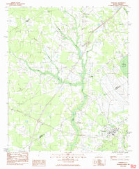 1983 Turbeville1983 Print · USGSThe swamp-and-timber country of the Santee River basin comes into focus during the early 1980s. Genealogists and local historians can trace the growth of Turbeville and find rural landmarks like Mt Sinai Ch, Hudgens Academy, and the unique terrain of Woods Bay State Park.
 - 1986 Map of Sumter
 1986 Sumter1986 Print · USGSMid-South Carolina in the mid-eighties reveals a landscape of massive river bottomlands and significant military installations. Genealogists and historians can trace the rural networks around Fort Motte, Lone Star, and Sardinia alongside Lake Marion.
 - 1990 Map of Sumter
 1990 Sumter1990 Print · USGSCentral South Carolina's river systems and military landscapes are captured here during the late twentieth century. Genealogists and historians can trace the growth of Sumter or locate rural communities such as Wedgefield and Kingville near the Congaree River.
 - 2011 Map of Turbeville, 2011 Print
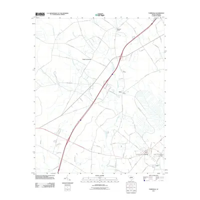 2011 Turbeville2011 Print · USGSClarendon County's low-lying swamp lands and rural settlements are mapped here in the early 2000s as modern interstate routes began to reshape the region. Genealogists and local historians can trace family locations near Shiloh Cemetery, Trinity Cross Roads, and the Turbeville Post Office.
 - 2014 Map of Turbeville, 2014 Print
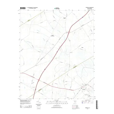 2014 Turbeville2014 Print · USGSCoastal plain settlements and intersecting county lines define the Turbeville area in the early twenty-first century. Researchers can trace local lineage at Asbury Cem or explore the layout of rural crossroads like Trinity Cross Roads and Shiloh.
 - 2017 Map of Turbeville, 2017 Print
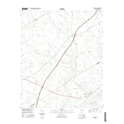 2017 Turbeville2017 Print · USGSThe lowcountry of Clarendon and Sumter counties is shown here in the late twenty-teens, featuring a landscape defined by expansive Carolina bays and wetlands. Genealogists can trace family roots through sites like Asbury Cem or explore the rural surroundings of Turbeville and Shiloh.
 - 2020 Map of Turbeville, 2020 Print
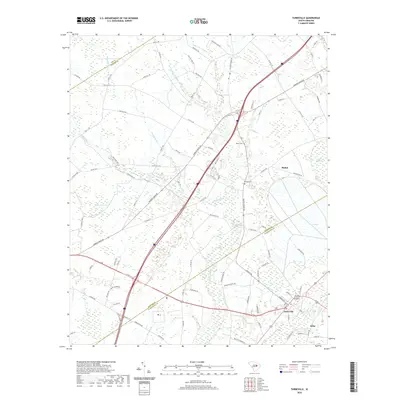 2020 Turbeville2020 Print · USGSTurbeville and the surrounding wetlands of Clarendon County are captured here in the early twenty-first century as modern transit meets historic settlement patterns. Genealogists and local historians can locate Asbury Cem, trace the reaches of Puddin Swamp, or explore the community at Seloc.
 - 2024 Map of Turbeville, 2024 Print
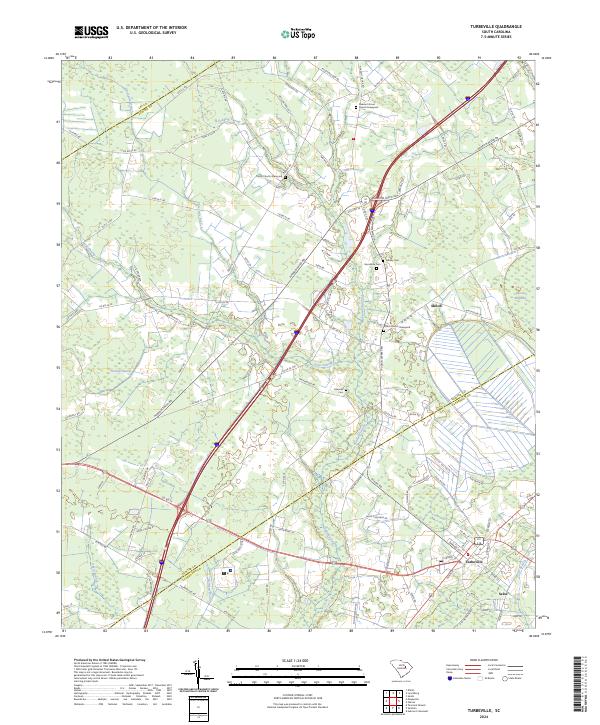 2024 Turbeville2024 Print · USGSThe lowcountry of Clarendon and Sumter counties comes alive in this modern survey of the Turbeville and Shiloh area. Researchers can locate numerous family burial sites like Asbury Cem and Edwards Cem or trace the winding waters of Pudding Swamp.
End of results
Showing maps 1-16 of 16
Top cities near Shiloh
- Florence historical maps
- Timmonsville historical maps
- Mayesville historical maps
- Lamar historical maps
- Turbeville historical maps
- Olanta historical maps
See more
Frequently asked questions
- What are the different types of historical maps available for Shiloh?
- What is the oldest map of Shiloh?
- Where can I purchase historical maps of Shiloh for my home or office?
- Where can I download high-res historical maps of Shiloh?
- Are there historical topographic maps available for Shiloh?
- Is there historical aerial imagery available for Shiloh?
- Where are historical maps of Shiloh sourced from?