2000s (21st Century) Maps of Sumter, South Carolina
Explore 21 historic maps of Sumter from the 2000s (21st Century). These maps offer a rare glimpse into what life looked like during the 2000s — showing old roads, neighborhoods, homes, and landmarks that have changed or disappeared over time.
Whether you're researching your family's past, planning a metal detecting trip, or studying how Sumter's landscape evolved across the 2000s, these high-resolution maps are a powerful tool for exploring the history of this region.
- Focus on a specific era: All maps on this page are from the 2000s, giving you a focused view of this time period.
- See what’s changed: Compare century-old streets, trails, and buildings to today's modern landscape using overlays and satellite layers.
- Research with precision: Use these maps for genealogy, historical research, land use analysis, or educational projects.
- View, download, or print: Maps are fully viewable online in high resolution, and can be downloaded or printed for your own records.
Start exploring Sumter's history through authentic maps from the 2000s. This is your window into the past.
Sumter, SC maps
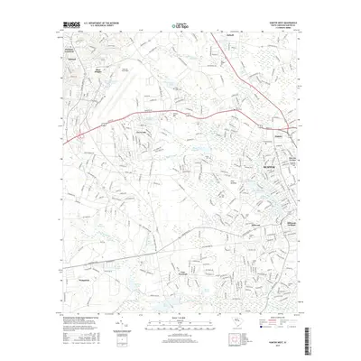
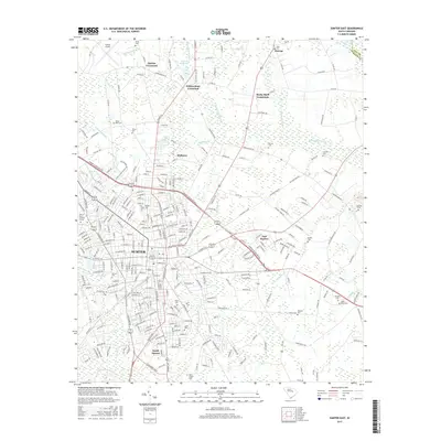
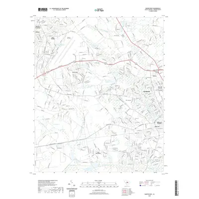
(21)- 2011 Map of Sumter East, 2011 Print
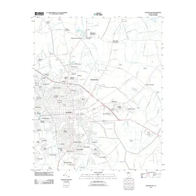 2011 Sumter East2011 Print · USGSCovers Sumter, including Guignard Park East, Midland Acres, and other nearby areas
 - 2011 Map of Brogdon, 2011 Print
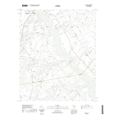
 2011 Brogdon2011 Print · USGSCovers Sumter, including Stokes, Pocalla Springs, and other nearby areas
 - 2011 Map of Privateer, 2011 Print
 2011 Privateer2011 Print · USGSCovers Sumter, including Briarcliff Estates, Harvins Crossroads, and other nearby areas
 - 2011 Map of Sumter West, 2011 Print
 2011 Sumter West2011 Print · USGSCovers Sumter, including Summer View, Austin Acres, and other nearby areas
 - 2014 Map of Privateer, 2014 Print
 2014 Privateer2014 Print · USGSCovers Sumter, including Briarcliff Estates, Harvins Crossroads, and other nearby areas
 - 2014 Map of Sumter East, 2014 Print
 2014 Sumter East2014 Print · USGSCovers Sumter, including Guignard Park East, Midland Acres, and other nearby areas
 - 2014 Map of Brogdon, 2014 Print
 2014 Brogdon2014 Print · USGSCovers Sumter, including Stokes, Pocalla Springs, and other nearby areas
 - 2014 Map of Sumter West, 2014 Print
 2014 Sumter West2014 Print · USGSCovers Sumter, including Summer View, Austin Acres, and other nearby areas
 - 2017 Map of Sumter West, 2017 Print
 2017 Sumter West2017 Print · USGSCovers Sumter, including Summer View, Austin Acres, and other nearby areas
 - 2017 Map of Brogdon, 2017 Print
 2017 Brogdon2017 Print · USGSCovers Sumter, including Stokes, Pocalla Springs, and other nearby areas
 - 2017 Map of Privateer, 2017 Print
 2017 Privateer2017 Print · USGSCovers Sumter, including Briarcliff Estates, Harvins Crossroads, and other nearby areas
 - 2017 Map of Sumter East, 2017 Print
 2017 Sumter East2017 Print · USGSCovers Sumter, including Guignard Park East, Midland Acres, and other nearby areas
 - 2020 Map of Sumter West, 2020 Print
 2020 Sumter West2020 Print · USGSCovers Sumter, including Summer View, Austin Acres, and other nearby areas
 - 2020 Map of Sumter East, 2020 Print
 2020 Sumter East2020 Print · USGSCovers Sumter, including Guignard Park East, Midland Acres, and other nearby areas
 - 2020 Map of Privateer, 2020 Print
 2020 Privateer2020 Print · USGSCovers Sumter, including Briarcliff Estates, Harvins Crossroads, and other nearby areas
 - 2020 Map of Brogdon, 2020 Print
 2020 Brogdon2020 Print · USGSCovers Sumter, including Stokes, Pocalla Springs, and other nearby areas
 - 2023 Map of Sumter West, 2023 Print
 2023 Sumter West2023 Print · USGSCovers Sumter, including Summer View, Austin Acres, and other nearby areas
 - 2024 Map of Brogdon, 2024 Print
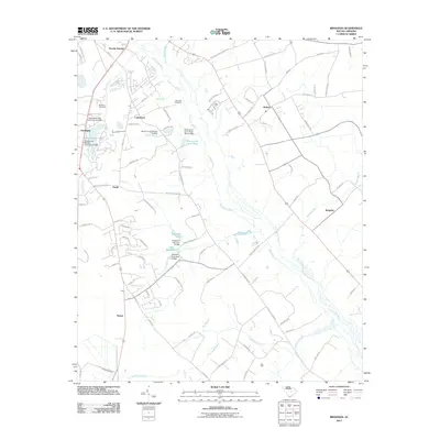
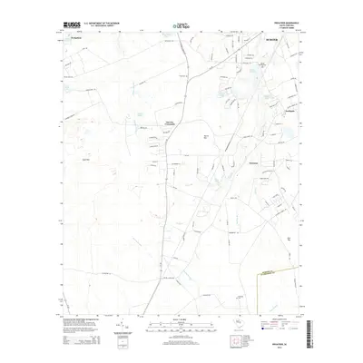
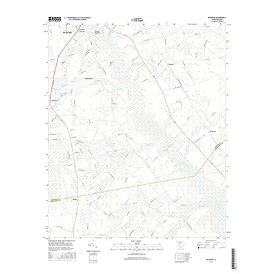
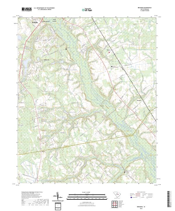 2024 Brogdon2024 Print · USGSThe rural stretches south of Sumter are documented here in the early twenty-first century, showing the interface between growing settlements and the South Carolina wetlands. Researchers can locate family sites and burial grounds like Marshall Cem, Mulberry Church Graveyard, and the community of Britton.
 - 2024 Map of Privateer, 2024 Print
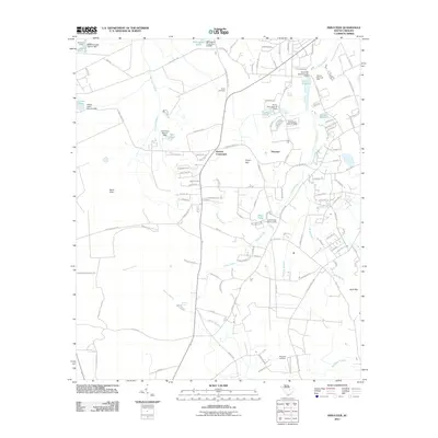
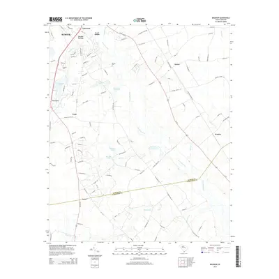
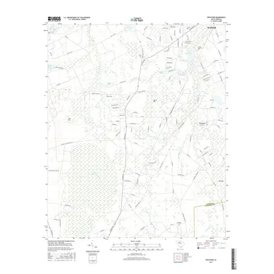
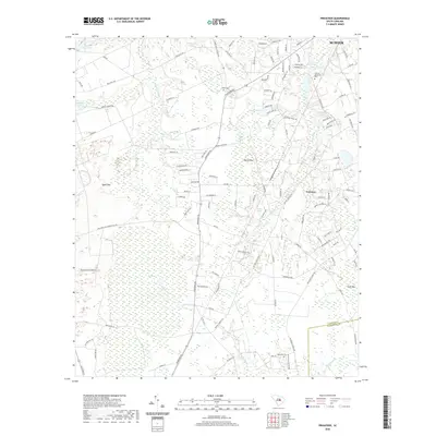
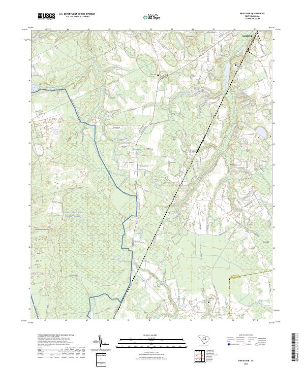 2024 Privateer2024 Print · USGSSumter County at the edge of the coastal plain reveals a modern landscape of military training grounds and dense southern wetlands. Genealogists and locals can trace family sites like Smith Cem and Reynolds Cem near the community of Privateer.
 - 2024 Map of Sumter East, 2024 Print
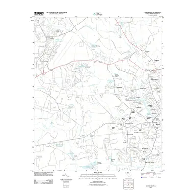
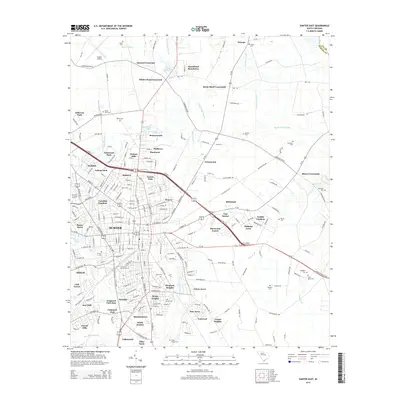
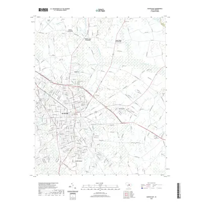
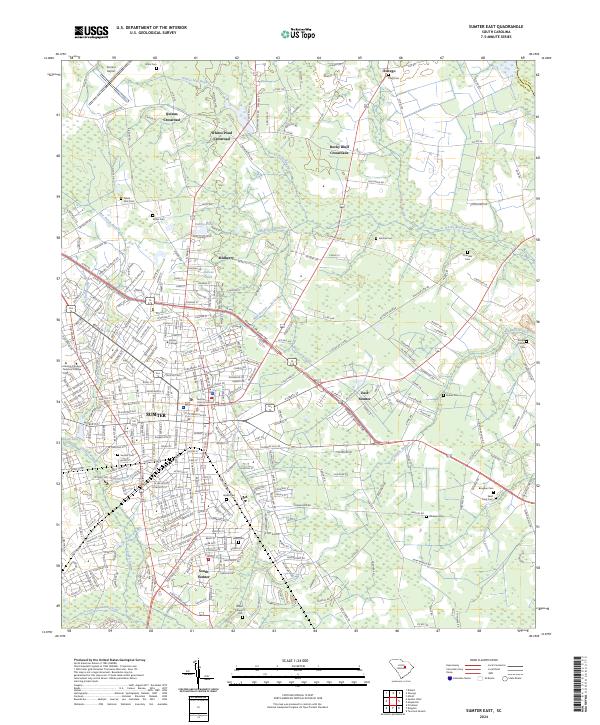 2024 Sumter East2024 Print · USGSSumter and its eastern reaches are documented here in recent years, showing the city's modern expansion alongside its traditional rural crossroads. Researchers can trace family sites at the Pringle Family Cem, Brogden Cem, and the historic campus of Morris College.
 - 2024 Map of Sumter West, 2024 Print
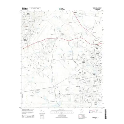
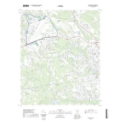
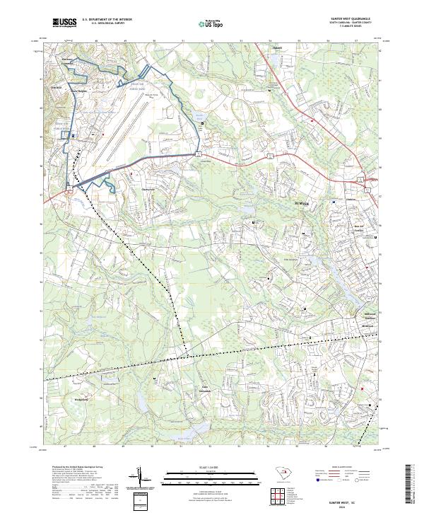 2024 Sumter West2024 Print · USGSSumter and its western outskirts are documented in this recent survey, capturing the modern landscape where military history and traditional southern settlements meet. Genealogists can locate family burial sites at Gadson Cem or Singleton Cem while tracing the old waterworks of Loring Millpond.
End of results
Showing maps 1-21 of 21
Top cities near Sumter
Top neighborhoods of Sumter
- Azalea Trailer Park historical maps
- Ivey Hall historical maps
- Kingman Heights historical maps
- Garris Park historical maps
- Green Acres historical maps
- Marigold Heights historical maps
See more
Frequently asked questions
- What are the different types of historical maps available for Sumter?
- What is the oldest map of Sumter?
- Where can I purchase historical maps of Sumter for my home or office?
- Where can I download high-res historical maps of Sumter?
- Are there historical topographic maps available for Sumter?
- Is there historical aerial imagery available for Sumter?
- Where are historical maps of Sumter sourced from?