Old Maps of Sumter, South Carolina for Metal Detecting
Plan your next treasure hunt with 35 historic maps of Sumter. Find old homesites, ghost towns, trails, and gathering spots that may be lost to time — perfect for identifying promising metal detecting locations.
- Locate forgotten sites: Uncover places like long-lost settlements, abandoned rail lines, or gathering spots.
- Plan better hunts: Use map overlays combined with LiDAR or satellite views to narrow in on historically rich areas.
- Made for detectorists: Thousands of hobbyists use these maps to discover relics, coins, and hidden history.
Use these historic maps to boost your research and find new opportunities beneath the surface of Sumter.
Sumter, SC maps
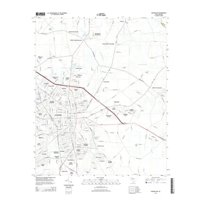
(35)- 1946 Map of Sumter
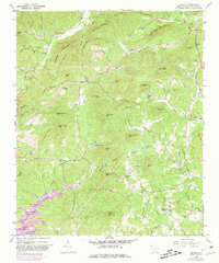
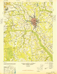 1946 Sumter1946 Print · USGSSumter and its surrounding lowlands were at a peak of rail and aviation development just after the war. Researchers can trace dozens of rural landmarks, from Pocalla Springs and Swan Lake to the sprawling Shaw Field.
 - 1954 Map of Augusta
 1954 Augusta1954 Print · USGSThe Savannah River valley and South Carolina Midlands are captured here during a period of post-war growth. Researchers can trace the rail-and-river economy through the Southern RR corridor and locate historic settlements like Aiken, Orangeburg, and Sumter.
 - 1957 Map of Sumter East, 1958 Print
 1957 Sumter East1958 Print · USGSSumter was entering a phase of suburban expansion and infrastructure modernization in the late fifties. Genealogists and local historians can trace family names across Rocky Bluff Crossroads, numerous small cemeteries like White-Dick Cem, and landmarks such as MORRIS COLLEGE.3 unique versions available
 - 1957 Map of Sumter West, 1958 Print
 1957 Sumter West1958 Print · USGSSumter County in the late fifties shows a landscape of growing military facilities and traditional swamp-side agriculture. Researchers can find old family cemeteries and country churches like St Michaels Sch Reese Chapel and Bold Pilgrim Ch alongside the sprawling Shaw Air Force Base.3 unique versions available
 - 1957 Map of Sumter, 1959 Print
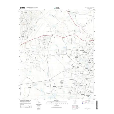
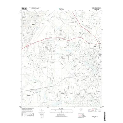
 1957 Sumter1959 Print · USGSSumter at the close of the fifties is a bustling military and educational hub, marked by the expansion of Shaw Air Force Base. Genealogists and local historians can trace rural family churches like Bold Pilgrim Ch and old transport routes including Old Ferry Road.2 unique versions available
 - 1957 Map of Augusta, 1966 Print
 1957 Augusta1966 Print · USGSThe Savannah River and Santee basins are captured here during a period of massive military and industrial expansion in the late fifties. Genealogists can trace family footprints across Four Hole Swamp or near the Savannah River Plant.3 unique versions available
 - 1958 Map of Augusta
 1958 Augusta1958 Print · USGSThe borderlands between Georgia and South Carolina come alive in the 1950s, showing the early footprint of the Savannah River Plant. Genealogists and historians can trace rail-dependent towns and rural landmarks from Orangeburg to the Fort Jackson Military Reservation.
 - 1961 Map of Augusta
 1961 Augusta1961 Print · USGSThe South Carolina lowcountry and CSRA appear here in the early sixties, during a period of massive military and industrial growth. Researchers can trace the development of the Savannah River Plant or locate legacy landmarks like Nelson Ferry and Magnolia Cemetery.2 unique versions available
 - 1961 Map of Sumter West, 1981 Print
 1961 Sumter West1981 Print · USGSPickens County mountain communities were adapting to the rising waters of the Keowee reservoir during the early sixties and seventies. Genealogists and historians can locate family landmarks like Nimmons Cem, the Holly Springs Sch, and Mt Bethel Ch.
 - 1962 Map of Augusta
 1962 Augusta1962 Print · USGSThe South Carolina and Georgia borderlands are seen here in the early sixties, showing the rise of the Savannah River Plant and the expansion of Fort Jackson. Researchers can trace old rail lines like the Southern Railway and find landmarks such as St. Pauls Church or the Santee Canal.
 - 1983 Map of Brogdon
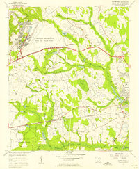
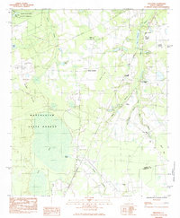
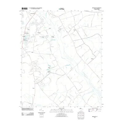
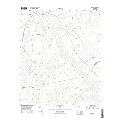
 1983 Brogdon1983 Print · USGSThe Pocotaligo River wetlands and the rural communities of Sumter County are frozen in time during the early eighties. Researchers can trace the lineage of local parishes and landmarks like New Bethel Ch, Bradford Cem, and the Seaboard railroad line.
 - 1983 Map of Privateer, 1984 Print
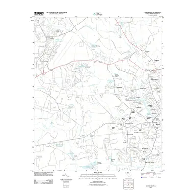
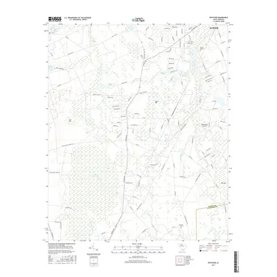
 1983 Privateer1984 Print · USGSThe Sumter County countryside comes into focus in the early eighties as a landscape of timber, training ranges, and small crossroads. Genealogists and historians can locate Smith Cem, trace the Seaboard line, or explore Harvins Crossroads.2 unique versions available
 - 1986 Map of Sumter
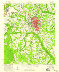
 1986 Sumter1986 Print · USGSMid-South Carolina in the mid-eighties reveals a landscape of massive river bottomlands and significant military installations. Genealogists and historians can trace the rural networks around Fort Motte, Lone Star, and Sardinia alongside Lake Marion.
 - 1990 Map of Sumter
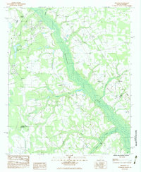
 1990 Sumter1990 Print · USGSCentral South Carolina's river systems and military landscapes are captured here during the late twentieth century. Genealogists and historians can trace the growth of Sumter or locate rural communities such as Wedgefield and Kingville near the Congaree River.
 - 2011 Map of Sumter East, 2011 Print
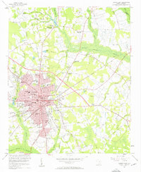
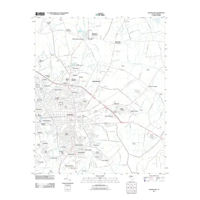 2011 Sumter East2011 Print · USGSCovers Sumter, including Guignard Park East, Midland Acres, and other nearby areas
 - 2011 Map of Brogdon, 2011 Print
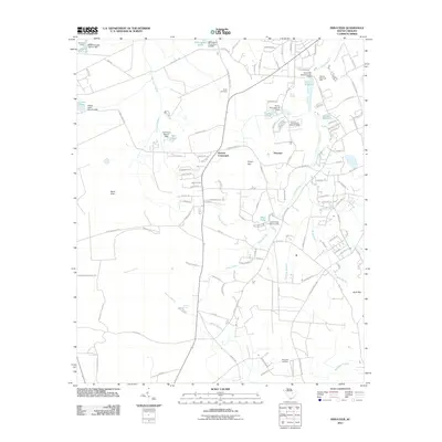
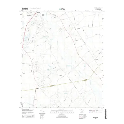
 2011 Brogdon2011 Print · USGSCovers Sumter, including Stokes, Pocalla Springs, and other nearby areas
 - 2011 Map of Privateer, 2011 Print
 2011 Privateer2011 Print · USGSCovers Sumter, including Briarcliff Estates, Harvins Crossroads, and other nearby areas
 - 2011 Map of Sumter West, 2011 Print
 2011 Sumter West2011 Print · USGSCovers Sumter, including Summer View, Austin Acres, and other nearby areas
 - 2014 Map of Privateer, 2014 Print
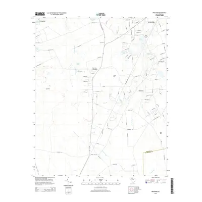 2014 Privateer2014 Print · USGSCovers Sumter, including Briarcliff Estates, Harvins Crossroads, and other nearby areas
 - 2014 Map of Sumter East, 2014 Print
 2014 Sumter East2014 Print · USGSCovers Sumter, including Guignard Park East, Midland Acres, and other nearby areas
 - 2014 Map of Brogdon, 2014 Print
 2014 Brogdon2014 Print · USGSCovers Sumter, including Stokes, Pocalla Springs, and other nearby areas
 - 2014 Map of Sumter West, 2014 Print
 2014 Sumter West2014 Print · USGSCovers Sumter, including Summer View, Austin Acres, and other nearby areas
 - 2017 Map of Sumter West, 2017 Print
 2017 Sumter West2017 Print · USGSCovers Sumter, including Summer View, Austin Acres, and other nearby areas
 - 2017 Map of Brogdon, 2017 Print
 2017 Brogdon2017 Print · USGSCovers Sumter, including Stokes, Pocalla Springs, and other nearby areas
 - 2017 Map of Privateer, 2017 Print
 2017 Privateer2017 Print · USGSCovers Sumter, including Briarcliff Estates, Harvins Crossroads, and other nearby areas
Showing maps 1-25 of 35
Top cities near Sumter
Top neighborhoods of Sumter
- Azalea Trailer Park historical maps
- Ivey Hall historical maps
- Kingman Heights historical maps
- Garris Park historical maps
- Green Acres historical maps
- Marigold Heights historical maps
See more
Frequently asked questions
- What are the different types of historical maps available for Sumter?
- What is the oldest map of Sumter?
- Where can I purchase historical maps of Sumter for my home or office?
- Where can I download high-res historical maps of Sumter?
- Are there historical topographic maps available for Sumter?
- Is there historical aerial imagery available for Sumter?
- Where are historical maps of Sumter sourced from?