2020s Maps of Union County, South Carolina
Explore 34 historic maps of Union County from the 2020s. These maps offer a rare glimpse into what life looked like during the 2020s — showing old roads, neighborhoods, homes, and landmarks that have changed or disappeared over time.
Whether you're researching your family's past, planning a metal detecting trip, or studying how Union County's landscape evolved across the 2020s, these high-resolution maps are a powerful tool for exploring the history of this region.
- Focus on a specific era: All maps on this page are from the 2020s, giving you a focused view of this time period.
- See what’s changed: Compare century-old streets, trails, and buildings to today's modern landscape using overlays and satellite layers.
- Research with precision: Use these maps for genealogy, historical research, land use analysis, or educational projects.
- View, download, or print: Maps are fully viewable online in high resolution, and can be downloaded or printed for your own records.
Start exploring Union County's history through authentic maps from the 2020s. This is your window into the past.
Union County, SC maps
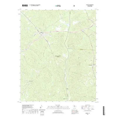
(34)- 2020 Map of Union East, 2020 Print
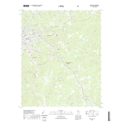 2020 Union East2020 Print · USGSCovers Union County, including Union, Carem, and other nearby areas
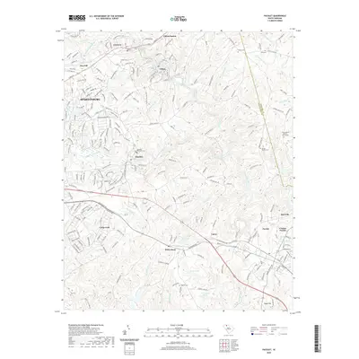
 - 2020 Map of Philson Crossroads, 2020 Print
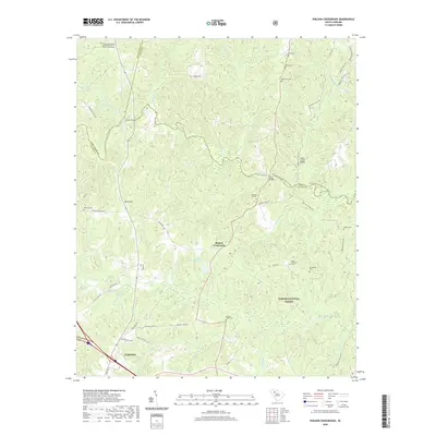 2020 Philson Crossroads2020 Print · USGSCovers Union County, including Clinton, Jones Ford, and other nearby areas
 - 2020 Map of Jonesville, 2020 Print
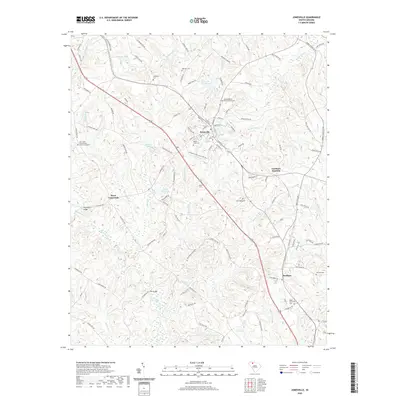 2020 Jonesville2020 Print · USGSCovers Union County, including Jonesville, Bonham, and other nearby areas
 - 2020 Map of Pacolet, 2020 Print
 2020 Pacolet2020 Print · USGSCovers Union County, including Spartanburg, Pacolet, and other nearby areas
 - 2020 Map of Carlisle, 2020 Print
 2020 Carlisle2020 Print · USGSCovers Union County, including Carlisle, Herbert, and other nearby areas
 - 2020 Map of Leeds, 2020 Print
 2020 Leeds2020 Print · USGSCovers Union County, including Neal Shoals, Wilksburg, and other nearby areas
 - 2020 Map of Union West, 2020 Print
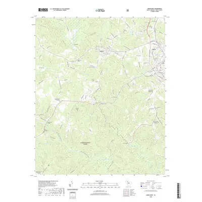 2020 Union West2020 Print · USGSCovers Union County, including Union, Buffalo, and other nearby areas
 - 2020 Map of Glenn Springs, 2020 Print
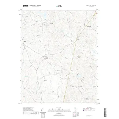 2020 Glenn Springs2020 Print · USGSCovers Union County, including Glenn Springs, Kennedy Mill, and other nearby areas
 - 2020 Map of Lockhart, 2020 Print
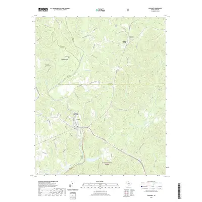 2020 Lockhart2020 Print · USGSCovers Union County, including Lockhart, Pinckney, and other nearby areas
 - 2020 Map of Pacolet Mills, 2020 Print
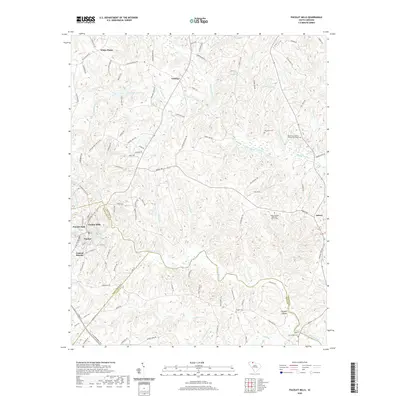 2020 Pacolet Mills2020 Print · USGSCovers Union County, including Pacolet, Central Pacolet, and other nearby areas
 - 2020 Map of Whitmire North, 2020 Print
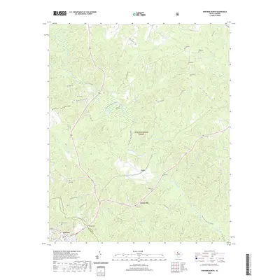 2020 Whitmire North2020 Print · USGSCovers Union County, including Whitmire, Beaver Dam, and other nearby areas
 - 2020 Map of Whitmire South, 2020 Print
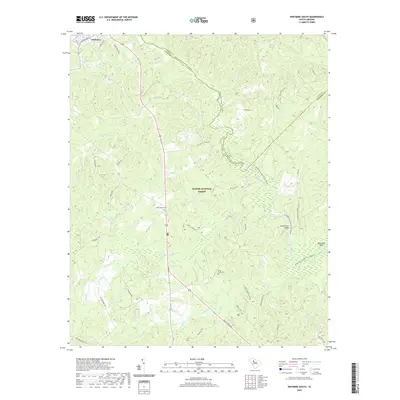 2020 Whitmire South2020 Print · USGSCovers Union County, including Whitmire, Newberry County, and other nearby areas
 - 2020 Map of Kelton, 2020 Print
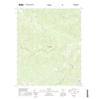
 2020 Kelton2020 Print · USGSCovers Union County, including Union, Robat, and other nearby areas
 - 2020 Map of Blair, 2020 Print
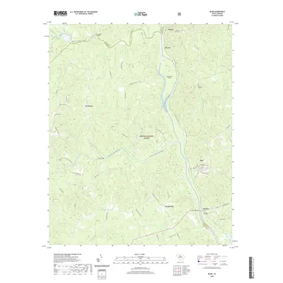 2020 Blair2020 Print · USGSCovers Union County, including Strother, Clayton, and other nearby areas
 - 2020 Map of Cross Anchor, 2020 Print
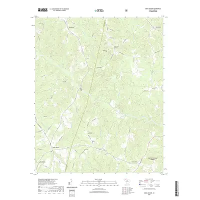 2020 Cross Anchor2020 Print · USGSCovers Union County, including Dutchman, Cross Anchor, and other nearby areas
 - 2020 Map of Wilkinsville, 2020 Print
 2020 Wilkinsville2020 Print · USGSCovers Union County, including Wilkinsville, Saratt, and other nearby areas
 - 2020 Map of Sedalia, 2020 Print
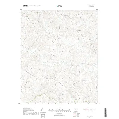
 2020 Sedalia2020 Print · USGSCovers Union County, including Whitmire, Shady Grove, and other nearby areas
 - 2024 Map of Whitmire North, 2024 Print
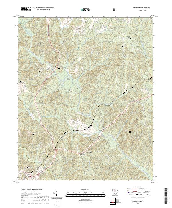 2024 Whitmire North2024 Print · USGSUnion County during the 2020s remains a landscape defined by its deep river valleys and historical family footprints. Genealogists can trace local heritage through sites like the Cane Creek Quaker Church Graveyard, Otterson Fort Cem, and the crossing at Rogers Ferry.
 - 2024 Map of Whitmire South, 2024 Print
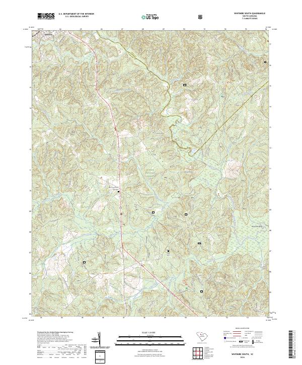 2024 Whitmire South2024 Print · USGSNewberry County's forested uplands and river valleys are captured here in the present day, centered on the southern outskirts of Whitmire. Genealogists and local historians can trace family land proximity to landmarks like the New Hope Church Graveyard, Kings Creek Cem, and the winding Enoree River.
 - 2024 Map of Lockhart, 2024 Print
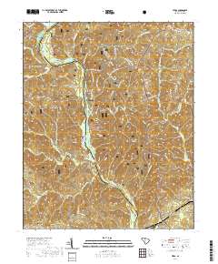
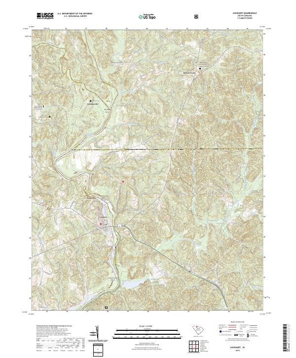 2024 Lockhart2024 Print · USGSThe Broad River valley at the Union and York county line comes into focus in this recent survey of the Carolina Piedmont. Genealogists can trace family names and local landmarks at the Bullock Creek Presbyterian Church Graveyard, Pinckney Ferry, and the shoals near Lockhart.
 - 2024 Map of Pacolet Mills, 2024 Print
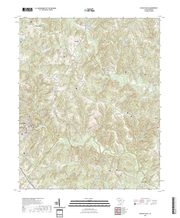 2024 Pacolet Mills2024 Print · USGSCherokee County at the junction of Spartanburg and Union counties shows a landscape defined by the Pacolet River and deep family roots. Researchers can trace ancestral sites at Whig Hill Cemetery, Grindall Shoals, and Pacolet Mills.
 - 2024 Map of Union East, 2024 Print
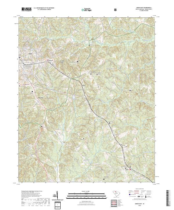 2024 Union East2024 Print · USGSThe eastern edges of Union and the surrounding Piedmont forests are documented here in the 2020s. Researchers can locate numerous historic burial grounds including Cane Creek Presbyterian Church Cem and Maple Ridge Church Graveyard, alongside the legacy of Monarch Mill.
 - 2024 Map of Union West, 2024 Print
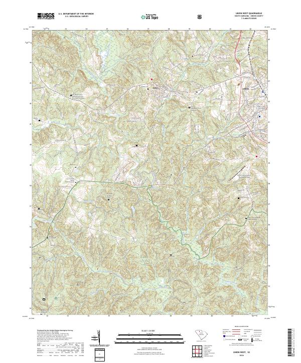 2024 Union West2024 Print · USGSWestern Union County and the community of Buffalo are detailed in this contemporary survey of the South Carolina Upcountry. Genealogists can trace family names at numerous burial sites, including the Rice Chapel AME Zion Church Graveyard, Buffalo Cem, and Sanders Cem.
 - 2024 Map of Philson Crossroads, 2024 Print
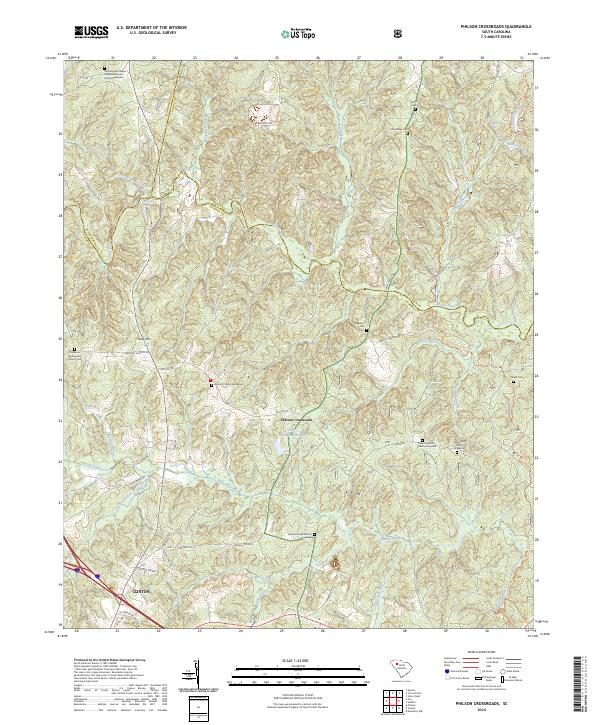 2024 Philson Crossroads2024 Print · USGSLaurens County and the Enoree River valley are captured in this recent survey of the South Carolina upstate. Genealogists can locate several historic burying grounds, including the Duncan Creek Church Graveyard and Mount Pleasant Church Graveyard.
 - 2024 Map of Cross Anchor, 2024 Print
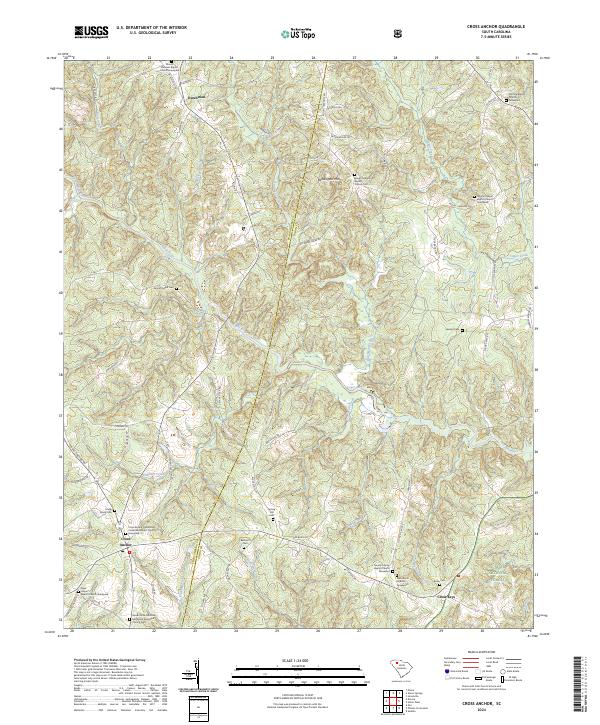 2024 Cross Anchor2024 Print · USGSIn the Spartanburg and Union county borderlands, this modern survey highlights a region of historic churches and family burial grounds. Researchers can locate specific sites like the Foster Family Cem, Belmont Cem, and Cross Keys along the Tyger River.
Showing maps 1-25 of 34
Top cities of Union County
- Union historical maps
- Jonesville historical maps
- Carlisle historical maps
- Lockhart historical maps
- Shady Grove historical maps
- Adams Ford historical maps
Frequently asked questions
- What are the different types of historical maps available for Union County?
- What is the oldest map of Union County?
- Where can I purchase historical maps of Union County for my home or office?
- Where can I download high-res historical maps of Union County?
- Are there historical topographic maps available for Union County?
- Is there historical aerial imagery available for Union County?
- Where are historical maps of Union County sourced from?