Old Maps of Union County, South Carolina for Genealogy
Trace your family roots with 113 historic maps of Union County. These high-res maps reveal old neighborhoods, homesites, landmarks, and streets — helping you uncover where your ancestors lived and how the area evolved over time.
- Explore historic neighborhoods: Identify where your relatives may have lived in the 1800s or 1900s.
- Compare maps over time: Trace the changes in streets, buildings, and landmarks for multi-generational research.
- Perfect for genealogy & ancestry research: Used by family historians and researchers to map out lineage and migration.
These maps are an incredible resource for exploring your personal connection to Union County's past.
Union County, SC maps
(113)- 1904 Map of Columbia
 1904 Columbia1904 Print · USGSRichland and Fairfield counties at the turn of the century are defined by their river-and-rail corridors and rural church communities. Genealogists can trace family footprints across Broad River ferries, the Southern R.R., and landmarks like The Old Brick Church or Winnsboro.2 unique versions available
 - 1907 Map of Sharon
 1907 Sharon1907 Print · USGSUpstate South Carolina at the turn of the century shows a region deeply connected by river ferries and new rail lines. Genealogists can trace early homesteads near Sharon, Hickory Grove, and the historic Pinckney Ferry on the Broad River.3 unique versions available
 - 1941 Map of Spartanburg
 1941 Spartanburg1941 Print · USGSSouth Carolina’s Piedmont and Sandhills regions are shown here during the mid-century peak of the rail era. Researchers can trace the sprawling Fort Jackson Military Reservation and the industrial growth of hubs like Spartanburg and Rock Hill.
 - 1947 Map of Spartanburg, 1969 Print
 1947 Spartanburg1969 Print · USGSSpartanburg and its surrounding mill towns are captured here in the late 1940s, a period defined by rail commerce and military presence. Researchers can trace family roots through numerous local landmarks like Hammett Grove Ch, Glenn Springs, and the sprawling grounds of Camp Croft.
 - 1949 Map of Spartanburg
 1949 Spartanburg1949 Print · USGSSpartanburg and its surrounding mill villages are captured here during the post-war industrial era. Genealogists can trace family roots through numerous rural landmarks like Hammett Grove Ch, Stone Station, and the sprawling grounds of Camp Croft.
 - 1953 Map of Spartanburg, 1966 Print
 1953 Spartanburg1966 Print · USGSMid-century South Carolina comes into focus through this survey of the Piedmont and the Sand Hills at a time of significant reservoir expansion. Researchers can trace the legacy of industrial transit and resource extraction from the Haile Gold Mine to the rail hubs of the Seaboard Air Line.4 unique versions available
 - 1960 Map of Spartanburg
 1960 Spartanburg1960 Print · USGSThe South Carolina Piedmont and North Carolina borderlands come alive in this mid-century survey of the region between Spartanburg and Columbia. Researchers can trace the Seaboard Air Line railroad and explore landmarks like Anderson Quarry, Lake Murray, and Mount Croghan.2 unique versions available
 - 1963 Map of Spartanburg
 1963 Spartanburg1963 Print · USGSMid-century South Carolina comes alive in this survey, showing the rail-linked corridor between the Upstate and the Midlands. Genealogists can trace family lands near old hubs like Union and Lancaster, or along the banks of the Broad River and Pee Dee River.
 - 1964 Map of Spartanburg
 1964 Spartanburg1964 Print · USGSMid-century South Carolina comes alive in this survey of the Piedmont and Upcountry, stretching from the Blue Ridge foothills to the Sandhills. Genealogists and historians can trace the rail-and-river economy through Monarch Mills, Glenn Springs, and the Southern Railway corridor.
 - 1968 Map of Wilkinsville, 1973 Print
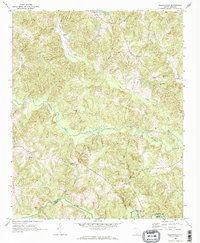 1968 Wilkinsville1973 Print · USGSThe rural communities of the South Carolina Upstate are captured here in the late sixties, showing a landscape defined by small settlements and winding waterways. Researchers can trace family roots through landmarks like El Bethel Ch, Gowdeysville, and Saratt.3 unique versions available
 - 1969 Map of Whitmire South, 1972 Print
 1969 Whitmire South1972 Print · USGSThe Enoree River backcountry of Newberry and Union counties is captured here in the late sixties, just as the national forest interior was being developed. Researchers can trace rural landmarks like Long Lane, Oxner Airfield, and Kings Creek Ch.
 - 1969 Map of Cross Anchor, 1972 Print
 1969 Cross Anchor1972 Print · USGSThe rural Piedmont of the late sixties comes into focus here, showing the wooded creek bottoms and family farms of southern Spartanburg County. Researchers can locate community centers like Cross Anchor and Cross Keys, alongside several old burial sites like Belmont Cem.4 unique versions available
 - 1969 Map of Pacolet Mills, 1972 Print
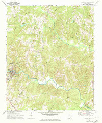 1969 Pacolet Mills1972 Print · USGSThe industrial and rural landscape of South Carolina's upstate comes alive in this late-sixties survey of the river country. Genealogists and local researchers can trace the community life of Pacolet Mills or locate landmarks like Whig Hill Cem and Knuckles Chapel.2 unique versions available
 - 1969 Map of Blair, 1972 Print
 1969 Blair1972 Print · USGSThe riverfront and timberlands of Newberry and Fairfield counties are captured here in the late sixties as the Southern railroad winds through the Sumter National Forest. Genealogists can trace rural communities like Maybinton and Glymphville alongside historic congregations at Ebenezer Ch and Mt Pleasant Ch.2 unique versions available
 - 1969 Map of Union West, 1973 Print
 1969 Union West1973 Print · USGSThe western outskirts of Union and the mill town of Buffalo appear here during the late sixties as the area transitioned into a modern textile and transit hub. Genealogists and researchers can trace the locations of Ricey Chapel, St Lukes Ch, and the Padgetts Creek Cem.
 - 1969 Map of Sedalia, 1973 Print
 1969 Sedalia1973 Print · USGSThe South Carolina Piedmont comes into focus in the late sixties as the Enoree and Tyger rivers converge near the borders of Union, Laurens, and Newberry counties. Genealogists can trace family footprints at Old Quaker Cem, Padgetts Creek Ch, and the rural community of Sedalia.2 unique versions available
 - 1969 Map of Philson Crossroads, 1973 Print
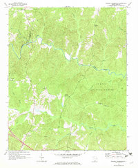 1969 Philson Crossroads1973 Print · USGSThe rural Upstate of South Carolina is captured here in the late sixties, where the borders of Spartanburg, Laurens, and Union counties meet. Researchers can trace family roots through several local congregations and burial sites, including Antioch Ch, Bethany Ch, and Macedonia Cem.2 unique versions available
 - 1969 Map of Carlisle, 1973 Print
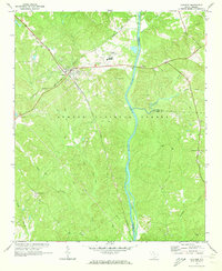 1969 Carlisle1973 Print · USGSCarlisle and the Broad River valley are shown here in the late sixties at the crossroads of two major railroads. Genealogists and historians can trace family locations near Hill Cem, the settlement of Tuckertown, and the St Lukes Ch.2 unique versions available
 - 1969 Map of Kelton, 1973 Print
 1969 Kelton1973 Print · USGSThe rural uplands of Union County are captured here in the late sixties as the Southern railroad linked small communities. Genealogists can locate family landmarks like Haney Cem, Wesley Chapel, and the Kelly Pinckney Sch.
 - 1969 Map of Jonesville, 1973 Print
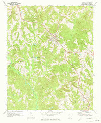 1969 Jonesville1973 Print · USGSJonesville and the surrounding Union County countryside are captured here in the late sixties, a period of transition for the rural Southern landscape. Genealogists can locate family landmarks like Littlejohn Com, Fosters Chapel, and the Cedar Grove Ch Cem.
 - 1969 Map of Leeds, 1974 Print
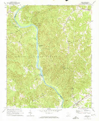 1969 Leeds1974 Print · USGSChester and Union Counties appear here in the late sixties as the Broad River valley was managed for timber and utility. Researchers can locate family landmarks like Wilksburg, Ebenezer Ch, and the Seaboard Coast Line railroad corridor.2 unique versions available
 - 1970 Map of Whitmire North, 1973 Print
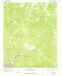 1970 Whitmire North1973 Print · USGSUnion County during the early 1970s shows a landscape of deep forests and river valleys shaped by the Tyger River. Researchers can trace the legacy of rural communities through sites like Goshen Hill, the Carlisle-Santuc Sch, and several remote family cemeteries.
 - 1971 Map of Union East, 1974 Print
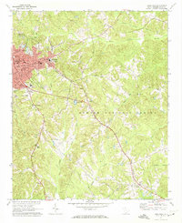 1971 Union East1974 Print · USGSThe city of Union and the industrial village of Monarch are captured here in the early 1970s. Genealogists can trace family names and local landmarks like Sardis Ch, Santuc, and Forest Lawn Cem along the Southern railroad.
 - 1972 Map of Lockhart, 1975 Print
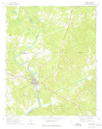 1972 Lockhart1975 Print · USGSThe river-driven economies of the Carolina Piedmont are on display in the early 1970s at the confluence of the Broad River and Pacolet River. Genealogists and local historians can trace family-named landmarks and rural congregations like Mt Hopewell Ch, Bullock Creek, and the historic site of Pinckneyville.2 unique versions available
 - 1983 Map of Glenn Springs
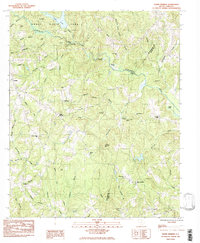 1983 Glenn Springs1983 Print · USGSGlenn Springs and the surrounding Upstate countryside are captured in the early eighties as a landscape of rural hamlets and deep-rooted family lands. Genealogists and historians can trace the sites of Foster Mill, Antioch Cem, and Friendship Ch.
Showing maps 1-25 of 113
Top cities of Union County
- Union historical maps
- Jonesville historical maps
- Carlisle historical maps
- Lockhart historical maps
- Shady Grove historical maps
- Adams Ford historical maps
Frequently asked questions
- What are the different types of historical maps available for Union County?
- What is the oldest map of Union County?
- Where can I purchase historical maps of Union County for my home or office?
- Where can I download high-res historical maps of Union County?
- Are there historical topographic maps available for Union County?
- Is there historical aerial imagery available for Union County?
- Where are historical maps of Union County sourced from?