2000s (21st Century) Maps of Union County, South Carolina
Explore 85 historic maps of Union County from the 2000s (21st Century). These maps offer a rare glimpse into what life looked like during the 2000s — showing old roads, neighborhoods, homes, and landmarks that have changed or disappeared over time.
Whether you're researching your family's past, planning a metal detecting trip, or studying how Union County's landscape evolved across the 2000s, these high-resolution maps are a powerful tool for exploring the history of this region.
- Focus on a specific era: All maps on this page are from the 2000s, giving you a focused view of this time period.
- See what’s changed: Compare century-old streets, trails, and buildings to today's modern landscape using overlays and satellite layers.
- Research with precision: Use these maps for genealogy, historical research, land use analysis, or educational projects.
- View, download, or print: Maps are fully viewable online in high resolution, and can be downloaded or printed for your own records.
Start exploring Union County's history through authentic maps from the 2000s. This is your window into the past.
Union County, SC maps
(85)- 2011 Map of Carlisle, 2011 Print
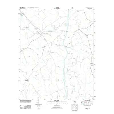 2011 Carlisle2011 Print · USGSCarlisle and the Broad River valley are captured here in the early twenty-first century, showcasing a landscape of small settlements and river crossings. Researchers can locate family landmarks like Hill Cemetery, Fishdam Ford, and the rural community of Tuckertown.
 - 2011 Map of Union East, 2011 Print
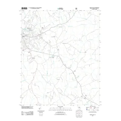 2011 Union East2011 Print · USGSUnion and its eastern rural outskirts are captured in this recent survey, showcasing the area's mix of higher education and historic settlements. Genealogists and local historians can locate many burial sites such as Sunset Memorial Gardens and McBride Cemetery, or trace the development near Monarch.
 - 2011 Map of Whitmire North, 2011 Print
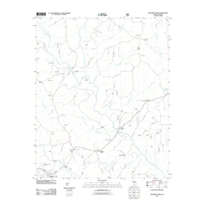 2011 Whitmire North2011 Print · USGSThe river country of Newberry County is captured here in the early twenty-first century, centered on the confluence of the Tyger River and Enoree River. Genealogists and local historians can trace family roots at Otterson Fort Cemetery, Goshen Hill, and the Whitmire Lookout Tower.
 - 2011 Map of Philson Crossroads, 2011 Print
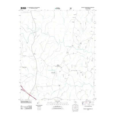 2011 Philson Crossroads2011 Print · USGSThe rural Laurens County backcountry comes into focus during the early twenty-first century, centered on the Philson Crossroads community. Researchers can trace ancestral roots through over a dozen burial sites, including Macedonia Cemetery, and locate river landmarks like Musgrove Ford and Gordons Mill Falls.
 - 2011 Map of Jonesville, 2011 Print
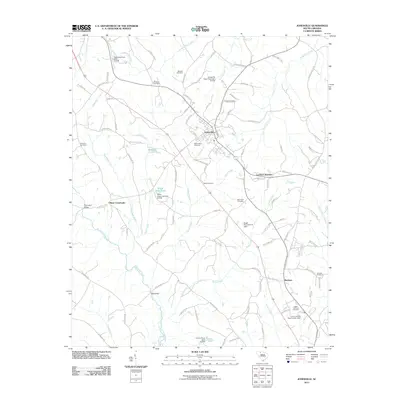 2011 Jonesville2011 Print · USGSJonesville and the surrounding Union County countryside are documented here in the early twenty-first century, showing a landscape shaped by creek valleys and rural crossroads. Genealogists can trace family names across Mitchell Cemetery, Lockhart Junction, and the historic crossing at Gist Bridge.
 - 2011 Map of Cross Anchor, 2011 Print
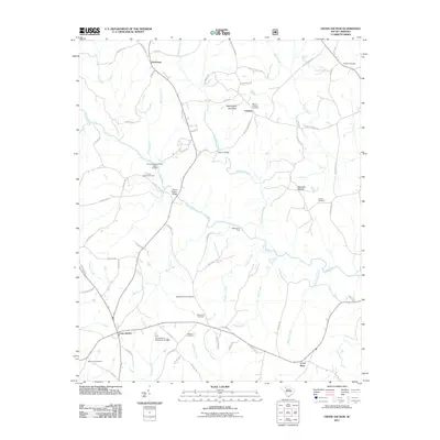 2011 Cross Anchor2011 Print · USGSThis South Carolina landscape at the start of the twenty-first century reveals a deeply rooted rural community shaped by the Tyger River. Genealogists can trace family footprints across several sites, including Grace Chapel Cemetery, Blackstocks Ford, and the settlement of Cross Anchor.
 - 2011 Map of Kelton, 2011 Print
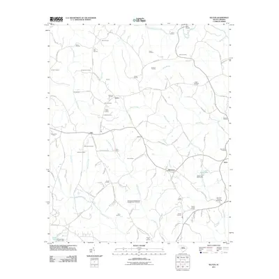 2011 Kelton2011 Print · USGSThe rural Upcountry of South Carolina appears here in the early twenty-first century, centered on the community of Kelton. Genealogists can trace family heritage through numerous rural burial sites like the McKissick Cemetery, Foster Chapel Cemetery, and Harris Cemetery.
 - 2011 Map of Blair, 2011 Print
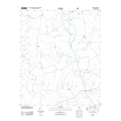 2011 Blair2011 Print · USGSIn the early 21st century, the confluence of the Tyger and Broad rivers preserves a landscape of scattered settlements and river crossings. Researchers can trace family history at the Weeping Mary Cemetery or locate old crossings like Lyles Ford and Keitts Bridge.
 - 2011 Map of Lockhart, 2011 Print
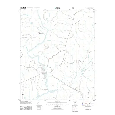 2011 Lockhart2011 Print · USGSThe Broad River valley near the historic settlement of Pinckneyville comes into focus in this early 21st-century survey. Researchers can trace ancestral locations through the Pinckney Cemetery, Lockharts Upper Shoals, and the crossroads at Bullock Creek.
 - 2011 Map of Pacolet Mills, 2011 Print
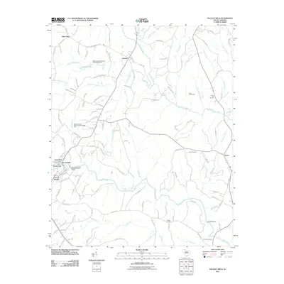 2011 Pacolet Mills2011 Print · USGSThe textile and river history of the South Carolina Piedmont is preserved here during the early twenty-first century. Researchers can trace family roots through Whig Hill Cemetery or locate old industrial infrastructure at Pacolet Mills and Grindall Shoals.
 - 2011 Map of Pacolet, 2011 Print
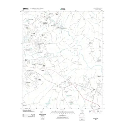 2011 Pacolet2011 Print · USGSSouth Carolina’s industrial and residential corridors come alive in this 2011 survey of the area surrounding the Pacolet River. Researchers can trace the textile mill infrastructure at Clifton or locate family history at Green Bethel Cemetery and the Bagwell Cemetery.
 - 2011 Map of Wilkinsville, 2011 Print
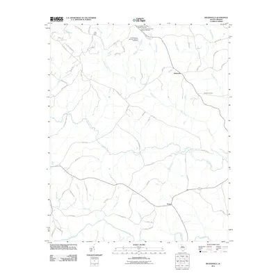 2011 Wilkinsville2011 Print · USGSThe rural uplands of Cherokee County are shown in the early twenty-first century as a network of creek-fed valleys and small settlements. Genealogists and local historians can trace the landscape around Wilkinsville, Abingdon Cemetery, and the banks of the Pacolet River.
 - 2011 Map of Whitmire South, 2011 Print
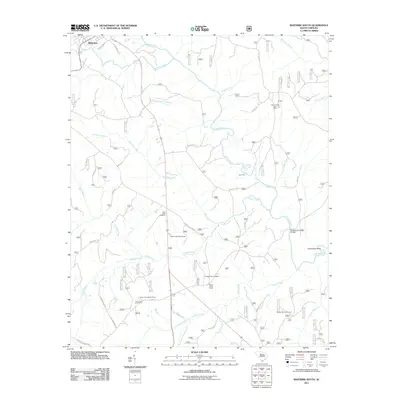 2011 Whitmire South2011 Print · USGSThe South Carolina backcountry near Whitmire is defined by its winding river system and rural crossroads. Local historians and genealogists can trace family landmarks like New Hope Cemetery, Avery Ford, and the Long Lane Lookout Tower.
 - 2011 Map of Union West, 2011 Print
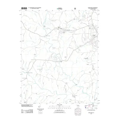 2011 Union West2011 Print · USGSWestern Union County comes alive in this early twenty-first-century survey, showcasing the industrial character of Buffalo and the rural reaches of the Tyger River. Genealogists and historians can locate numerous family burial grounds like Padgetts Creek Cemetery and historic river crossings such as Bobos Ford.
 - 2011 Map of Leeds, 2011 Print
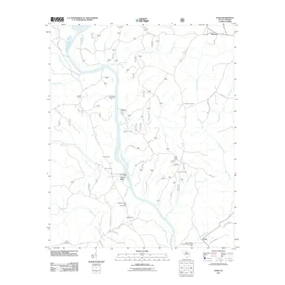 2011 Leeds2011 Print · USGSThe Broad River valley near the Union and Chester county line is shown here at the turn of the millennium, dominated by water management and rural homesteads. Genealogists and hikers can locate several burial grounds like Thomas Cemetery and landmarks such as the Leeds Lookout Tower.
 - 2011 Map of Glenn Springs, 2011 Print
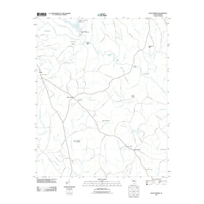 2011 Glenn Springs2011 Print · USGSGlenn Springs and the rural crossroads of Spartanburg County are shown here in the early twenty-first century. Genealogists can trace family lines through numerous sites like Frye-Smith-Whiteside Cemetery, Foster Mill, and the Pauline Post Office.
 - 2011 Map of Sedalia, 2011 Print
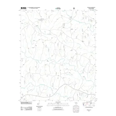 2011 Sedalia2011 Print · USGSThe river systems of the South Carolina Piedmont are on full display in the early twenty-first century. Genealogists can locate several historic burial grounds like Old Quaker Cemetery and Gist Cemetery, or trace old river crossings at Adams Ford and Gist Bridge.
 - 2014 Map of Union East, 2014 Print
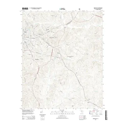 2014 Union East2014 Print · USGSThe eastern edges of Union and the surrounding timberlands are captured here in the early twenty-first century. Researchers can trace local lineage through numerous sites like Cane Creek Cem, Santuc, and the industrial neighborhood at Monarch Mill.
 - 2014 Map of Glenn Springs, 2014 Print
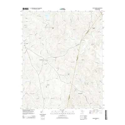 2014 Glenn Springs2014 Print · USGSGlenn Springs and the Spartanburg-Union county line are documented here in the early twenty-first century, showing a landscape defined by rural tradition. Researchers can locate numerous family burial sites like Frye-Smith-Whiteside Cem and trace the paths of Fairforest Creek and Foster Mill.
 - 2014 Map of Cross Anchor, 2014 Print
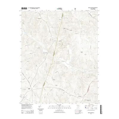 2014 Cross Anchor2014 Print · USGSUpper South Carolina's Piedmont region is captured here in the early twenty-first century, centered on the rural crossroads of Cross Anchor and Cross Keys. Researchers can trace the legacy of early families and river crossings through landmarks like Burnt Factory Bridge, Blackstocks Ford, and Lawson Cem.
 - 2014 Map of Carlisle, 2014 Print
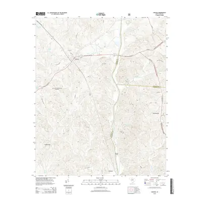 2014 Carlisle2014 Print · USGSUnion and Fairfield counties are documented here in the early 2010s, showing a landscape of national forest and river settlements. Genealogists can trace family burial sites like Hill Cem and Fish Dam Cem or locate the crossing at Fishdam Ford.
 - 2014 Map of Wilkinsville, 2014 Print
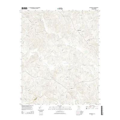 2014 Wilkinsville2014 Print · USGSThe rural Upstate South Carolina landscape near the Pacolet River remains deeply connected to its agricultural roots in this twenty-first-century survey. Genealogists and local historians can trace family-named landmarks and old road crossings near Wilkinsville, Saratt, and the Abingdon Cem.
 - 2014 Map of Lockhart, 2014 Print
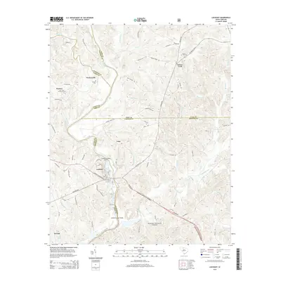 2014 Lockhart2014 Print · USGSThe river-driven landscape of Union and York counties comes into focus in this modern survey, highlighting the corridor where the Broad and Pacolet rivers meet. Researchers can trace family roots at the Bullock Creek Cem or locate historic crossings like Loves Ford and Old Ferry Rd.
 - 2014 Map of Whitmire North, 2014 Print
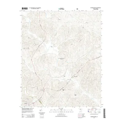 2014 Whitmire North2014 Print · USGSThe river systems of the South Carolina Piedmont and the woods of the Sumter National Forest define this landscape in the early twenty-first century. Genealogists and local historians can trace family ties through Otterson Ft Cem, the small settlement of Sartor Town, and historic crossings like Hamiltons Ford.
 - 2014 Map of Blair, 2014 Print
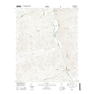 2014 Blair2014 Print · USGSThe river-rich borderlands of Fairfield, Newberry, and Union Counties are captured here in the early twenty-first century. Genealogists and local historians can trace family roots at James Ashford Cem and Ebenezer Cem or locate old river crossings like Greenshaws Ford.
Showing maps 1-25 of 85
Top cities of Union County
- Union historical maps
- Jonesville historical maps
- Carlisle historical maps
- Lockhart historical maps
- Shady Grove historical maps
- Adams Ford historical maps
Frequently asked questions
- What are the different types of historical maps available for Union County?
- What is the oldest map of Union County?
- Where can I purchase historical maps of Union County for my home or office?
- Where can I download high-res historical maps of Union County?
- Are there historical topographic maps available for Union County?
- Is there historical aerial imagery available for Union County?
- Where are historical maps of Union County sourced from?