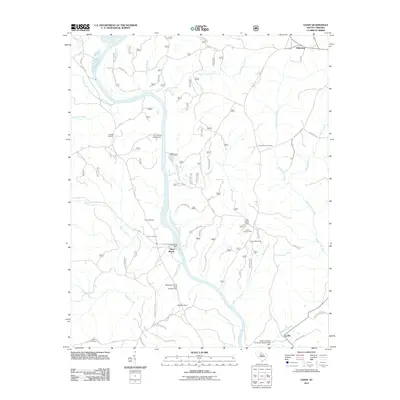
2011 Map of Leeds
USGS Topo · Published 2011About this map
The Broad River flows south through this part of South Carolina, where the river's path is marked by significant hydrological infrastructure and rural settlements. Centered on Neal Shoals, the area is defined by a series of dams, including the Neal Shoals Dam, Ophelias Dam, and McDaniels Pond Dam Number Two. These water features suggest a history of local water management and power generation integrated into the natural landscape. The terrain is divided by numerous small tributaries such as Hobsons Creek, Neals Creek, and Brushy Fork Creek.
Find a feature on this map
51 named features on this map. Tap any name to fly to it.
Don’t see what you’re looking for? This feature index may not catch every label — zoom into the map to look around manually.
Map Details
Editions of this 2011 Leeds Map
This is the sole edition of this map. No revisions or reprints were ever made.
Other maps of this area

1907 · Sharon
USGS Topo · 1:62,500

1941 · Spartanburg
USGS Topo · 1:250,000

1953 · Spartanburg
USGS Topo · 1:250,000

1960 · Spartanburg
USGS Topo · 1:250,000

1963 · Spartanburg
USGS Topo · 1:250,000

1964 · Spartanburg
USGS Topo · 1:250,000
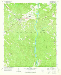
1969 · Carlisle
USGS Topo · 1:24,000

1969 · Kelton
USGS Topo · 1:24,000

1969 · Baton Rouge
USGS Topo · 1:24,000
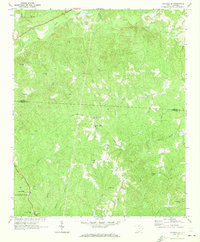
1969 · Carlisle SE
USGS Topo · 1:24,000