2000s (21st Century) Maps of India Hook, South Carolina
Explore 10 historic maps of India Hook from the 2000s (21st Century). These maps offer a rare glimpse into what life looked like during the 2000s — showing old roads, neighborhoods, homes, and landmarks that have changed or disappeared over time.
Whether you're researching your family's past, planning a metal detecting trip, or studying how India Hook's landscape evolved across the 2000s, these high-resolution maps are a powerful tool for exploring the history of this region.
- Focus on a specific era: All maps on this page are from the 2000s, giving you a focused view of this time period.
- See what’s changed: Compare century-old streets, trails, and buildings to today's modern landscape using overlays and satellite layers.
- Research with precision: Use these maps for genealogy, historical research, land use analysis, or educational projects.
- View, download, or print: Maps are fully viewable online in high resolution, and can be downloaded or printed for your own records.
Start exploring India Hook's history through authentic maps from the 2000s. This is your window into the past.
India Hook, SC maps
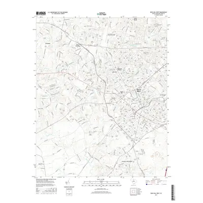
(10)- 2011 Map of Rock Hill West, 2011 Print
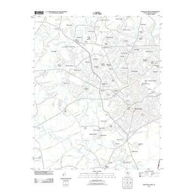 2011 Rock Hill West2011 Print · USGSCovers India Hook, including Rock Hill, Devonshire, and other nearby areas
 - 2011 Map of Lake Wylie, 2011 Print
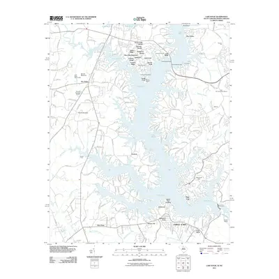 2011 Lake Wylie2011 Print · USGSCovers India Hook, including Charlotte, Rock Hill, and other nearby areas
 - 2014 Map of Lake Wylie, 2014 Print
 2014 Lake Wylie2014 Print · USGSCovers India Hook, including Charlotte, Rock Hill, and other nearby areas
 - 2014 Map of Rock Hill West, 2014 Print
 2014 Rock Hill West2014 Print · USGSCovers India Hook, including Rock Hill, Devonshire, and other nearby areas
 - 2017 Map of Lake Wylie, 2017 Print
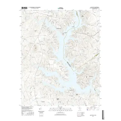 2017 Lake Wylie2017 Print · USGSCovers India Hook, including Charlotte, Rock Hill, and other nearby areas
 - 2017 Map of Rock Hill West, 2017 Print
 2017 Rock Hill West2017 Print · USGSCovers India Hook, including Rock Hill, Devonshire, and other nearby areas
 - 2020 Map of Lake Wylie, 2020 Print
 2020 Lake Wylie2020 Print · USGSCovers India Hook, including Charlotte, Rock Hill, and other nearby areas
 - 2020 Map of Rock Hill West, 2020 Print
 2020 Rock Hill West2020 Print · USGSCovers India Hook, including Rock Hill, Devonshire, and other nearby areas
 - 2024 Map of Lake Wylie, 2024 Print
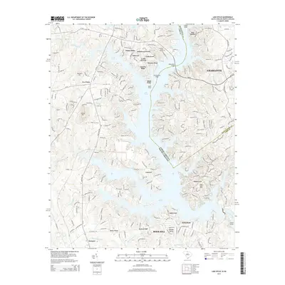
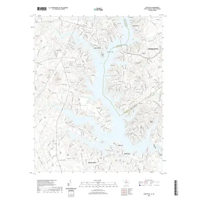
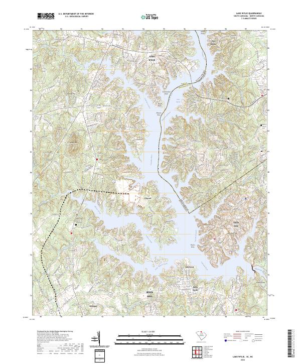 2024 Lake Wylie2024 Print · USGSThe interstate borderlands of South Carolina and North Carolina are defined by the winding waters of Lake Wylie and the Catawba River. Local historians can trace the evolution of lakeside settlements from Tega Cay to India Hook, alongside historic river crossings at Masons Ferry and rural sites like Zoar Church.
 - 2024 Map of Rock Hill West, 2024 Print
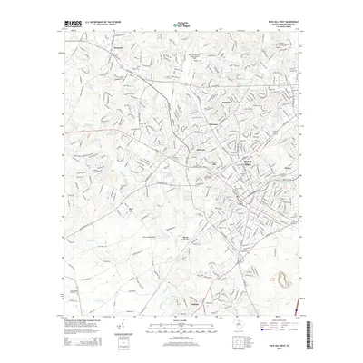
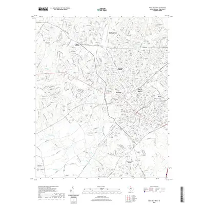
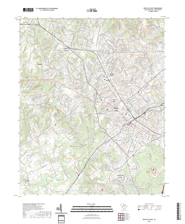 2024 Rock Hill West2024 Print · USGSThe western reaches of Rock Hill and the Ebenezer community are captured here in the contemporary era. Genealogists and historians can trace the growth of Winthrop University, locate family sites at Laurelwood Cem, or explore the crossroads at Miller Crossing and Old Point Station.
End of results
Showing maps 1-10 of 10
Top cities near India Hook
- Charlotte historical maps
- Rock Hill historical maps
- Gastonia historical maps
- Fort Mill historical maps
- Indian Land historical maps
- Tega Cay historical maps
See more
Top neighborhoods of India Hook
- Forest Acres historical maps
- Hickory Hill historical maps
- Lakewood historical maps
- Island View Landing historical maps
- Lakewood Acres historical maps
Frequently asked questions
- What are the different types of historical maps available for India Hook?
- What is the oldest map of India Hook?
- Where can I purchase historical maps of India Hook for my home or office?
- Where can I download high-res historical maps of India Hook?
- Are there historical topographic maps available for India Hook?
- Is there historical aerial imagery available for India Hook?
- Where are historical maps of India Hook sourced from?