2020s Maps of McConnells, South Carolina
Explore 4 historic maps of McConnells from the 2020s. These maps offer a rare glimpse into what life looked like during the 2020s — showing old roads, neighborhoods, homes, and landmarks that have changed or disappeared over time.
Whether you're researching your family's past, planning a metal detecting trip, or studying how McConnells's landscape evolved across the 2020s, these high-resolution maps are a powerful tool for exploring the history of this region.
- Focus on a specific era: All maps on this page are from the 2020s, giving you a focused view of this time period.
- See what’s changed: Compare century-old streets, trails, and buildings to today's modern landscape using overlays and satellite layers.
- Research with precision: Use these maps for genealogy, historical research, land use analysis, or educational projects.
- View, download, or print: Maps are fully viewable online in high resolution, and can be downloaded or printed for your own records.
Start exploring McConnells's history through authentic maps from the 2020s. This is your window into the past.
McConnells, SC maps
(4)- 2020 Map of Tirzah, 2020 Print
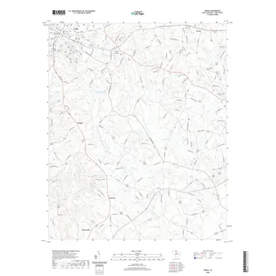 2020 Tirzah2020 Print · USGSCovers McConnells, including Rock Hill, York, and other nearby areas
 - 2020 Map of Lowrys, 2020 Print
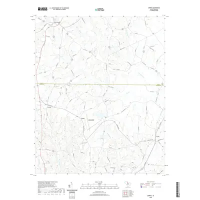 2020 Lowrys2020 Print · USGSCovers McConnells, including Lowrys, Lewis, and other nearby areas
 - 2024 Map of Lowrys, 2024 Print
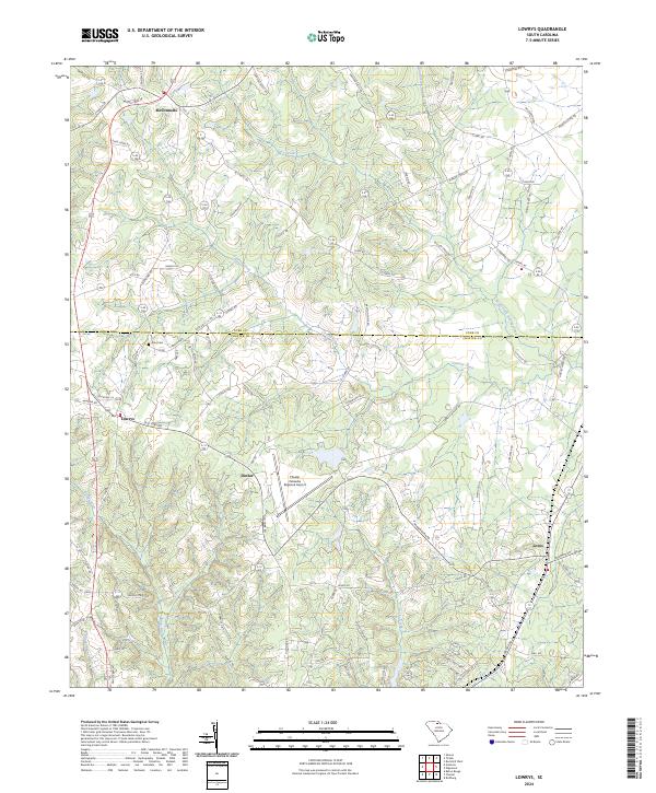 2024 Lowrys2024 Print · USGSThe borderlands of York and Chester counties come into focus here, showing the rural communities of the South Carolina Piedmont in the early twenty-first century. Researchers can trace family history through sites like Zion Cem and local routes like Brattonsville Rd or Mobley Store Rd.
 - 2024 Map of Tirzah, 2024 Print
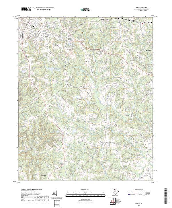 2024 Tirzah2024 Print · USGSYork County, South Carolina, comes into sharp focus in this recent survey, showcasing the regional hub of YORK and its surrounding rural communities. Genealogists and local historians can trace the legacy of settlements like Delphia and McConnells or find the grounds of Rose Hill Cem.
End of results
Showing maps 1-4 of 4
Top cities near McConnells
- Charlotte historical maps
- Rock Hill historical maps
- Tega Cay historical maps
- Tega Cay historical maps
- York historical maps
- Chester historical maps
See more
Frequently asked questions
- What are the different types of historical maps available for McConnells?
- What is the oldest map of McConnells?
- Where can I purchase historical maps of McConnells for my home or office?
- Where can I download high-res historical maps of McConnells?
- Are there historical topographic maps available for McConnells?
- Is there historical aerial imagery available for McConnells?
- Where are historical maps of McConnells sourced from?