Loading...
Loading map...2024 Map of Lowrys
USGS Topo · Published 2024About this map
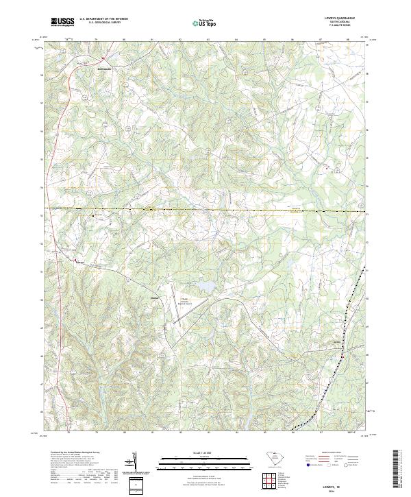
McConnells and Lowrys anchor the northern and western reaches of this landscape where the boundary between York Co and Chester Co bisects the terrain. The map reveals a transition from the structured residential developments at Farmwood Ests to the more dispersed rural settlements of Dinber and Lewis. This modern survey records the continued utility of the Chester Catawba Regional Airport, positioned centrally as a primary landmark amid the winding drainage of Conrad Creek.
Find a feature on this map
89 named features on this map. Tap any name to fly to it.
Don’t see what you’re looking for? This feature index may not catch every label — zoom into the map to look around manually.
Map Details
Date Portrayed2024
Date Published2024
PublisherU.S. Geological Survey
Map TypeTopographic
Scale1:24000
Physical Dimensions24 x 29 inches
Editions of this 2024 Lowrys Map
This is the sole edition of this map. No revisions or reprints were ever made.
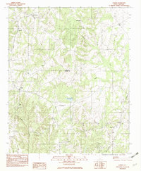
Historical Maps of McConnells Through Time
Featured Locations
Source Details
SourceU.S. Geological Survey
CopyrightPublic Domain