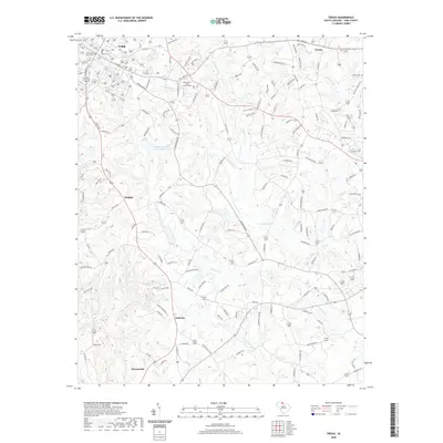
2020 Map of Tirzah
USGS Topo · Published 2020About this map
The York County Courthouse and the nearby York County - Moss Justice Center anchor the western edge of this landscape, representing the administrative heart of the region. Moving east from York, the terrain is defined by a dense network of watercourses including Fishing Cr, Stony Fork, and Langham Br, which shape the rural settlement patterns. Local history is preserved at sites like Rose Hill Cem, while small communities such as Tirzah, Guthries, and Delphia are connected by a web of established routes like Old York Rd and Tirzah Rd.
Find a feature on this map
128 named features on this map. Tap any name to fly to it.
Don’t see what you’re looking for? This feature index may not catch every label — zoom into the map to look around manually.
Map Details
Editions of this 2020 Tirzah Map
This is the sole edition of this map. No revisions or reprints were ever made.
Other maps of this area

1906 · Kings Mountain
USGS Topo · 1:62,500

1907 · Sharon
USGS Topo · 1:62,500

1908 · Kings Mountain
USGS Topo · 1:62,500

1941 · Spartanburg
USGS Topo · 1:250,000

1947 · Clover
USGS Topo · 1:62,500

1949 · Clover
USGS Topo · 1:62,500

1949 · Rock Hill
USGS Topo · 1:62,500

1953 · Spartanburg
USGS Topo · 1:250,000

1953 · Charlotte
USGS Topo · 1:250,000

1954 · Charlotte
USGS Topo · 1:250,000