Old Maps of Bonilla, South Dakota for Academic Research
Study the evolution of Bonilla with 9 high-resolution historic maps. Whether you're teaching, researching, or modeling changes in land use, these maps provide essential visual documentation of urban, environmental, and geographic change.
- Analyze long-term change: Track patterns in development, transportation, and natural features.
- Ideal for environmental or urban studies: Support academic projects with primary historical map data.
- Use in the classroom or lab: Educators and researchers rely on these maps to bring historical context to life.
These maps are a powerful tool for teaching, research, and visualizing how Bonilla has changed over the decades.
Bonilla, SD maps
(9)- 1895 Map of Byron
 1895 Byron1895 Print · USGSEastern South Dakota was rapidly organizing into townships when this survey was conducted. You can trace the path of the Chicago and Northwestern R. R. through early settlements like Frankfort, Doland, and Ashton.4 unique versions available
 - 1953 Map of Huron, 1959 Print
 1953 Huron1959 Print · USGSCentral South Dakota comes alive in the mid-1950s as a thriving rail and agricultural corridor between the Missouri and James Rivers. Trace the legacy of family farms and prairie towns like Huron, Faulkton, and Wessington Springs along the historic Chicago and North Western rail lines.3 unique versions available
 - 1954 Map of Huron, 1977 Print
 1954 Huron1977 Print · USGSCentral South Dakota was a landscape of grain elevators and river bends during the mid-fifties. Genealogists and historians can trace the development of the James River valley through railroad towns like Redfield and the sprawling Crow Creek Indian Reservation.
 - 1967 Map of Hitchcock SW, 1968 Print
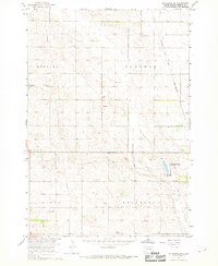 1967 Hitchcock SW1968 Print · USGSBeadle County farmland and township life are captured here in the late sixties during a period of Missouri River Basin development. Genealogists and local historians can locate early burial sites like Altoona Cem or trace the path of the Chicago and North Western rail line near Bonilla.
 - 1985 Map of Redfield, 1986 Print
 1985 Redfield1986 Print · USGSSpink and Hand counties are captured here in the mid-1980s, revealing a landscape of rail-dependent prairie towns and extensive waterfowl conservation areas. Genealogists and historians can trace the Chicago and North Western rail lines through Redfield to outlying settlements like Tulare and Frankfort.
 - 2012 Map of Hitchcock SW, 2012 Print
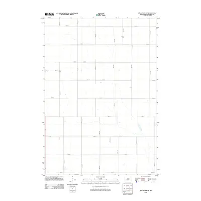 2012 Hitchcock SW2012 Print · USGSCovers Bonilla, including Beadle County, United States, and other nearby areas
 - 2015 Map of Hitchcock SW, 2015 Print
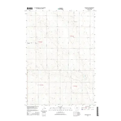 2015 Hitchcock SW2015 Print · USGSCovers Bonilla, including Beadle County, United States, and other nearby areas
 - 2017 Map of Hitchcock SW, 2017 Print
 2017 Hitchcock SW2017 Print · USGSCovers Bonilla, including Beadle County, United States, and other nearby areas
 - 2021 Map of Hitchcock SW, 2021 Print
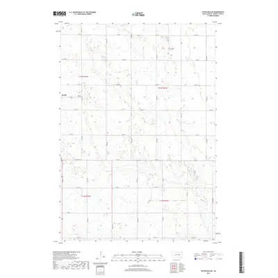
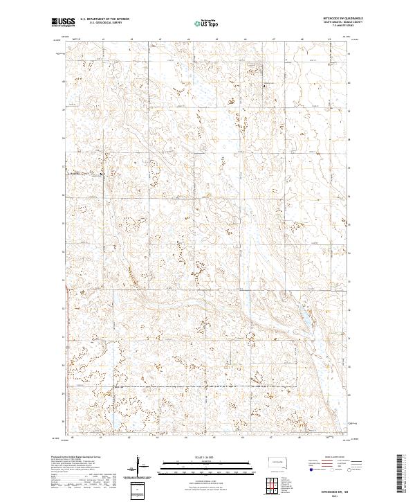 2021 Hitchcock SW2021 Print · USGSBeadle County land patterns are preserved here in the early twenty-first century, showing the enduring grid of the High Plains. Researchers can trace family history at Altoona Cem, Bonilla Cem, or within the small settlement of Bonilla.
End of results
Showing maps 1-9 of 9
Top cities near Bonilla
- Wolsey historical maps
- Wessington historical maps
- Tulare historical maps
- Hitchcock historical maps
- Crandon historical maps
- Broadland historical maps
Frequently asked questions
- What are the different types of historical maps available for Bonilla?
- What is the oldest map of Bonilla?
- Where can I purchase historical maps of Bonilla for my home or office?
- Where can I download high-res historical maps of Bonilla?
- Are there historical topographic maps available for Bonilla?
- Is there historical aerial imagery available for Bonilla?
- Where are historical maps of Bonilla sourced from?