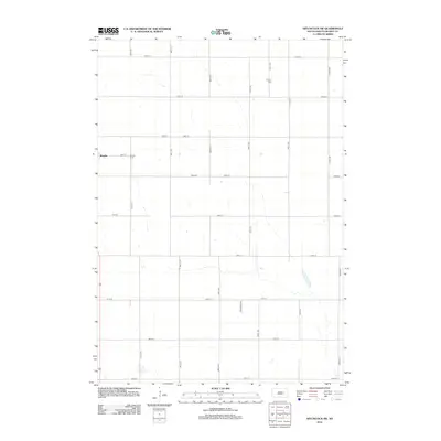
2012 Map of Hitchcock SW
USGS Topo · Published 2012About this map
Bonilla serves as the primary settlement hub in this part of Beadle County, centered at the intersection of Main St and 387th Ave. The landscape is defined by the rigid grid of the Public Land Survey System, with numbered roads like 191st St and 392nd Ave carving the prairie into neat sections. This layout reflects the agricultural heritage and systematic land development of South Dakota. For genealogists and local historians, the map identifies two significant burial sites: Altoona Cem to the northeast and Bonilla Cem just east of the main townsite. Scattered intermittent wetlands and small water bodies punctuate the fields, particularly near 196th St, suggesting the natural drainage patterns of this high plains region during the early twenty-first century.
Find a feature on this map
21 named features on this map. Tap any name to fly to it.
Don’t see what you’re looking for? This feature index may not catch every label — zoom into the map to look around manually.
Map Details
Editions of this 2012 Hitchcock SW Map
This is the sole edition of this map. No revisions or reprints were ever made.
Other maps of this area

1895 · Byron
USGS Topo · 1:125,000

1898 · Huron
USGS Topo · 1:125,000

1899 · Redfield
USGS Topo · 1:125,000

1950 · Wessington NE
USGS Topo · 1:24,000

1953 · Huron
USGS Topo · 1:250,000

1954 · Huron
USGS Topo · 1:250,000

1956 · Spink Colony
USGS Topo · 1:24,000

1956 · Hitchcock SE
USGS Topo · 1:24,000

1967 · Hitchcock SW
USGS Topo · 1:24,000

1967 · Tulare SE
USGS Topo · 1:24,000