Old Maps of Beadle County, South Dakota
Explore 52 old maps of Beadle County, spanning from 1895 to today. These high-resolution historic maps reveal how streets, neighborhoods, landmarks, and natural features evolved over time — perfect for genealogy, metal detecting, research, and local history exploration.
What you can do with these maps:
- See how Beadle County changed over time: Compare historical maps to modern-day views to trace roads, homesites, rail lines & more.
- View detailed metadata: Each map includes creators, publishers, year, scale, and archive source.
- Overlay maps with satellite & LiDAR: Visualize the past alongside modern tools to explore terrain & human change.
- Trusted historical sources: Maps sourced from the USGS, Library of Congress, and other archives.
- Access maps your way: View online, download high-res files, or order prints for personal or research use.
Start exploring old maps of Beadle County to uncover forgotten places, hidden landmarks, and the deep history beneath your feet.
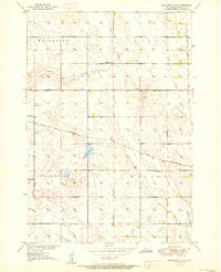
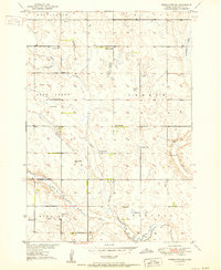
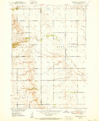
Beadle County, SD maps
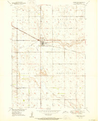
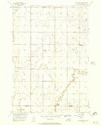
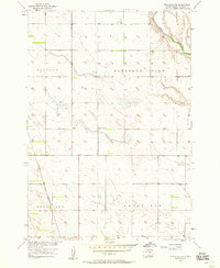
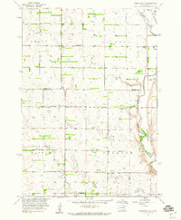
(52)- 1895 Map of Byron
 1895 Byron1895 Print · USGSCovers Beadle County, including Redfield, Doland, and other nearby areas3 unique versions available
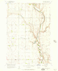
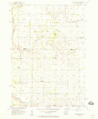
 - 1898 Map of Huron
 1898 Huron1898 Print · USGSCovers Beadle County, including Huron, Woonsocket, and other nearby areas2 unique versions available
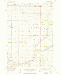
 - 1899 Map of Redfield
 1899 Redfield1899 Print · USGSCovers Beadle County, including Redfield, Miller, and other nearby areas2 unique versions available
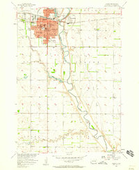
 - 1899 Map of De Smet
 1899 De Smet1899 Print · USGSCovers Beadle County, including De Smet, Howard, and other nearby areas2 unique versions available
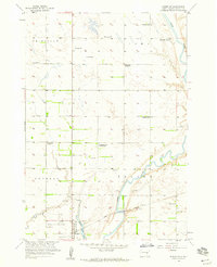
 - 1950 Map of Wessington
 1950 Wessington1950 Print · USGSCovers Beadle County, including Wessington, Hand County, and other nearby areas2 unique versions available
 - 1950 Map of Wessington NE
 1950 Wessington NE1950 Print · USGSCovers Beadle County, including United States, South Dakota, and other nearby areas2 unique versions available
 - 1951 Map of Wessington SE
 1951 Wessington SE1951 Print · USGSCovers Beadle County, including United States, South Dakota, and other nearby areas2 unique versions available
 - 1951 Map of Wessington SW
 1951 Wessington SW1951 Print · USGSCovers Beadle County, including Hand County, United States, and other nearby areas2 unique versions available
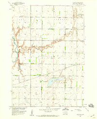
 - 1953 Map of Huron, 1959 Print
 1953 Huron1959 Print · USGSCovers Beadle County, including Huron, Redfield, and other nearby areas2 unique versions available
 - 1953 Map of Watertown, 1968 Print
 1953 Watertown1968 Print · USGSCovers Beadle County, including Watertown, Brookings, and other nearby areas3 unique versions available
 - 1954 Map of Huron, 1977 Print
 1954 Huron1977 Print · USGSCovers Beadle County, including Huron, Redfield, and other nearby areas
 - 1956 Map of Lake Byron NW, 1957 Print
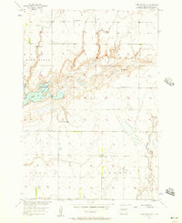
 1956 Lake Byron NW1957 Print · USGSCovers Beadle County, including Cornwall Township, Harrison Township, and other nearby areas
 - 1956 Map of Lake Byron, 1957 Print
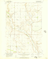 1956 Lake Byron1957 Print · USGSCovers Beadle County, including Huron Hutterite Colony, United States, and other nearby areas2 unique versions available
 - 1956 Map of Spink Colony, 1957 Print
 1956 Spink Colony1957 Print · USGSCovers Beadle County, including Cornwall Township, Spink Hutterite Colony, and other nearby areas2 unique versions available
 - 1956 Map of Lake Byron SE, 1957 Print
 1956 Lake Byron SE1957 Print · USGSCovers Beadle County, including United States, South Dakota, and other nearby areas
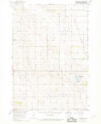
 - 1956 Map of Hitchcock SE, 1958 Print
 1956 Hitchcock SE1958 Print · USGSCovers Beadle County, including Broadland, United States, and other nearby areas
 - 1957 Map of Forestburg NE, 1958 Print
 1957 Forestburg NE1958 Print · USGSCovers Beadle County, including Jackson Township, Floyd Township, and other nearby areas
 - 1957 Map of Cavour, 1958 Print
 1957 Cavour1958 Print · USGSCovers Beadle County, including Cavour, United States, and other nearby areas2 unique versions available
 - 1957 Map of Huron, 1958 Print
 1957 Huron1958 Print · USGSCovers Beadle County, including Huron, Morningside, and other nearby areas2 unique versions available
 - 1958 Map of Watertown
 1958 Watertown1958 Print · USGSCovers Beadle County, including Watertown, Brookings, and other nearby areas2 unique versions available
 - 1958 Map of Forestburg NW, 1959 Print
 1958 Forestburg NW1959 Print · USGSCovers Beadle County, including Jackson Township, Warren Township, and other nearby areas2 unique versions available
 - 1958 Map of Huron NW, 1959 Print
 1958 Huron NW1959 Print · USGSCovers Beadle County, including Huron, Riverside Hutterite Colony, and other nearby areas2 unique versions available
 - 1958 Map of Huron NE, 1959 Print
 1958 Huron NE1959 Print · USGSCovers Beadle County, including Cavour, Sheffield, and other nearby areas
 - 1967 Map of Hitchcock SW, 1968 Print
 1967 Hitchcock SW1968 Print · USGSCovers Beadle County, including Bonilla, United States, and other nearby areas
 - 1967 Map of Tulare NW, 1968 Print
 1967 Tulare NW1968 Print · USGSCovers Beadle County, including Buffalo Township, Lake Township, and other nearby areas
Showing maps 1-25 of 52
Top cities of Beadle County
- Huron historical maps
- Wolsey historical maps
- Wessington historical maps
- Cavour historical maps
- Yale historical maps
- Hitchcock historical maps
See more
Frequently asked questions
- What are the different types of historical maps available for Beadle County?
- What is the oldest map of Beadle County?
- Where can I purchase historical maps of Beadle County for my home or office?
- Where can I download high-res historical maps of Beadle County?
- Are there historical topographic maps available for Beadle County?
- Is there historical aerial imagery available for Beadle County?
- Where are historical maps of Beadle County sourced from?