Old Maps of Blackpipe, Martin for Hiking & Exploration
Hike through history with 8 historic maps of Blackpipe. Explore old trails, ghost towns, and forgotten backroads — perfect for outdoor adventurers and local explorers.
- Rediscover forgotten places: Map out old mining camps, roads, and footpaths that no longer exist on modern maps.
- Layer with modern tools: Combine with LiDAR or satellite views to plan hikes through historical terrain.
- Made for exploration: Popular among hikers, overlanders, and local history lovers.
Use these maps to find adventure and explore the hidden past of Blackpipe.
Blackpipe, Martin maps
(8)- 1955 Map of Martin, 1968 Print
 1955 Martin1968 Print · USGSTribal lands and rail corridors define the South Dakota plains in the mid-fifties, from the sand hills to the badlands. Genealogists and historians can trace the early layout of Pine Ridge Indian Reservation settlements and find small rail towns like Stamford and Witten.2 unique versions available
 - 1958 Map of Martin
 1958 Martin1958 Print · USGSSouth Dakota's southern plains are documented here in the late fifties, showing the expansive Pine Ridge and Rosebud Indian Reservations. Genealogists and historians can locate early settlements along the Chicago Milwaukee St Paul and Pacific line or find family roots near Martin and the Indian Cemetery.
 - 1981 Map of Blackpipe
 1981 Blackpipe1981 Print · USGSBennett County ranchlands and creek beds appear in great detail during the early eighties. Researchers can trace the rural layout of the Blackpipe area, identifying local landmarks like the Pleasant Valley Sch and the waters of Pass Creek.
 - 1983 Map of Martin
 1983 Martin1983 Print · USGSBennett County and the neighboring tribal lands appear here in the early eighties as a network of High Plains settlements and conservation areas. Researchers can trace tribal boundaries and local genealogy through sites like Pine Ridge Indian Reservation, Long Valley, and Arnold Ranch.
 - 2012 Map of Blackpipe, 2012 Print
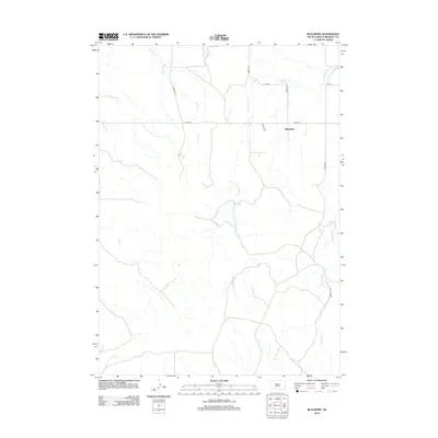 2012 Blackpipe2012 Print · USGSBennett County's high plains come into focus in the early twenty-first century, showing a landscape of sprawling prairie and creek beds. Researchers can trace the drainage of Black Pipe Cr or locate family land near Blackpipe and Moose Rd.
 - 2015 Map of Blackpipe, 2015 Print
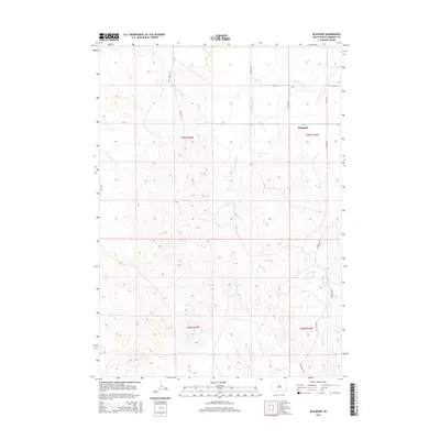 2015 Blackpipe2015 Print · USGSBennett County's open ranch land is captured in the mid-2010s, showing the intersection of traditional section lines and local creek drainages. Researchers can trace land tracts near Blackpipe or follow the paths of Black Pipe Cr, Cottonwood Cr, and Moose Rd.
 - 2017 Map of Blackpipe, 2017 Print
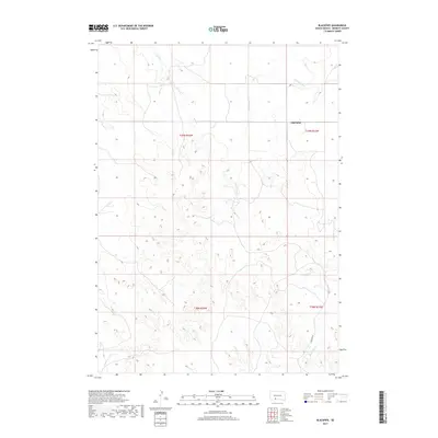 2017 Blackpipe2017 Print · USGSBennett County in the late twenty-teens remains a landscape of open range and winding creek beds. Genealogists and land researchers can trace the rural layout around Blackpipe and follow the paths of Bull Cr and Putnam Rd through the plains.
 - 2021 Map of Blackpipe, 2021 Print
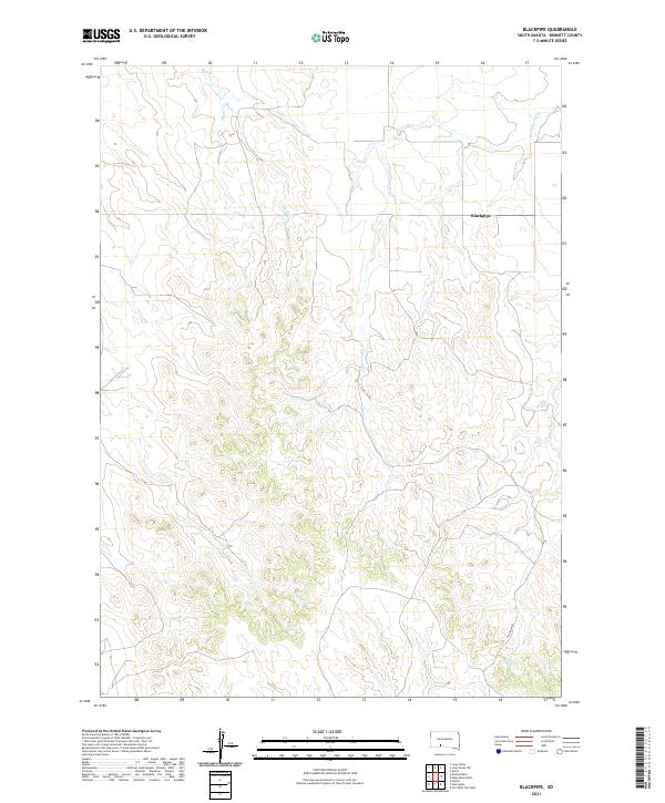 2021 Blackpipe2021 Print · USGSBennett County ranching country is captured here in the early 2020s, showing a landscape shaped by intermittent watercourses and section lines. Researchers can trace the drainage of Black Pipe Cr and Bull Cr near the small community of Blackpipe.
End of results
Showing maps 1-8 of 8
Top cities near Blackpipe
Frequently asked questions
- What are the different types of historical maps available for Blackpipe?
- What is the oldest map of Blackpipe?
- Where can I purchase historical maps of Blackpipe for my home or office?
- Where can I download high-res historical maps of Blackpipe?
- Are there historical topographic maps available for Blackpipe?
- Is there historical aerial imagery available for Blackpipe?
- Where are historical maps of Blackpipe sourced from?