Old Maps of Lincoln Township, South Dakota for Hiking & Exploration
Hike through history with 28 historic maps of Lincoln Township. Explore old trails, ghost towns, and forgotten backroads — perfect for outdoor adventurers and local explorers.
- Rediscover forgotten places: Map out old mining camps, roads, and footpaths that no longer exist on modern maps.
- Layer with modern tools: Combine with LiDAR or satellite views to plan hikes through historical terrain.
- Made for exploration: Popular among hikers, overlanders, and local history lovers.
Use these maps to find adventure and explore the hidden past of Lincoln Township.
Lincoln Township, SD maps
(28)- 1898 Map of Olivet
 1898 Olivet1898 Print · USGSHutchinson County at the close of the nineteenth century was a landscape of emerging rail towns and river valley farmsteads. Trace the early expansion of the Chicago Milwaukee and St Paul RR near Olivet and Scotland.4 unique versions available
 - 1955 Map of Sioux City, 1959 Print
 1955 Sioux City1959 Print · USGSThe Missouri River valley in the mid-fifties is captured here during a time of major engineering and social transition. Genealogists and historians can trace the foundations of Gavins Point Dam, tribal boundaries on the Santee Sioux Indian Reservation, and local landmarks like the Norfolk State Hospital.4 unique versions available
 - 1955 Map of Sioux Falls, 1967 Print
 1955 Sioux Falls1967 Print · USGSThe eastern South Dakota and western Minnesota borderlands come alive in the mid-fifties, showing the vital rail-to-river connections of the era. Genealogists can trace family footprints across townships like Madison and Pipestone, while following the paths of the Big Sioux River and the Chicago and North Western line.3 unique versions available
 - 1958 Map of Sioux City
 1958 Sioux City1958 Print · USGSThe Missouri River valley in the late fifties was a bustling intersection of tribal lands, rail corridors, and river towns. Genealogists can trace family roots through specific rural sites like Daisy Valley School, St Johns Church and School, and Yankton State Hospital.
 - 1958 Map of Sioux Falls
 1958 Sioux Falls1958 Print · USGSThe tri-state borderlands of South Dakota, Minnesota, and Iowa are captured here during the mid-century peak of the regional rail network. Genealogists and historians can trace local landmarks like Augustana Academy, the St Marys Cem, and the path of the Illinois Central through Rock Rapids.
 - 1959 Map of Sioux City
 1959 Sioux City1959 Print · USGSThe tri-state region surrounding the Missouri River is captured here in the late fifties, showing the convergence of Nebraska, South Dakota, and Iowa. Researchers can trace rural lineages through numerous country schoolhouses like Cemetery School and the many numbered Washington School districts.
 - 1978 Map of Tripp SE
 1978 Tripp SE1978 Print · USGSBon Homme County farm country is captured here in the late seventies, showing the transition between established townships. Genealogists can locate family burial sites at the Bohemian National Cem or trace rural education at Blaha Sch and Nedved Sch.
 - 1978 Map of Kloucek Lake, 1979 Print
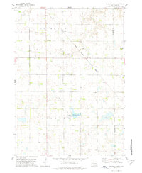 1978 Kloucek Lake1979 Print · USGSBon Homme and Yankton counties appear in the late 1970s as a well-ordered landscape of section-line roads and family farms. Researchers can trace the legacy of early settlers at Ebenezer Cem and Reform Cem, or follow the diagonal route of the Chicago Milwaukee St Paul and Pacific railroad.
 - 1978 Map of Tyndall, 1979 Print
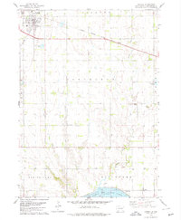 1978 Tyndall1979 Print · USGSTyndall and the surrounding Bon Homme County landscape are captured here during the late 1970s, as the railroad still connected these prairie townships. Researchers can locate vanished rural landmarks like Cottonwood Sch, the Bon Homme Cem, and early industry at the Sandpit.
 - 1978 Map of Tabor, 1979 Print
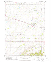 1978 Tabor1979 Print · USGSThe town of Tabor is captured in the late 1970s at the intersection of prairie agriculture and the Milwaukee Road railroad. Researchers can locate family landmarks like Hvezda Zapadu Cem, Ptaks National Cem, and the shores of Kubal Lake.
 - 1985 Map of Yankton
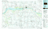 1985 Yankton1985 Print · USGSThe Missouri River borderlands of South Dakota and Nebraska come alive in this mid-eighties survey, centered on the newly created Lewis and Clark Lake. Researchers can trace the Santee Indian Reservation and locate historic river features like the St Helena Island Chute and Sand Island.2 unique versions available
 - 1985 Map of Freeman
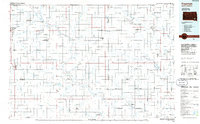 1985 Freeman1985 Print · USGSThe James River valley in the mid-1980s reveals a landscape of communal farming colonies and railroad-anchored prairie towns. Researchers can trace the layout of several Hutterite settlements like Maxwell Colony or locate local landmarks like Gagna Station and Turkey Ridge.2 unique versions available
 - 2012 Map of Tabor, 2012 Print
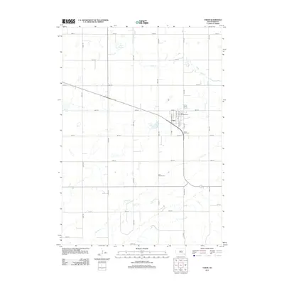 2012 Tabor2012 Print · USGSTabor and the surrounding Bon Homme County plains are documented here in the early twenty-first century, showing a landscape of structured prairie farms and local lakes. Researchers can trace family burial sites at Saint Wenceslaus Cem or explore the drainage of Beaver Cr and Charley Cr.
 - 2012 Map of Tyndall, 2012 Print
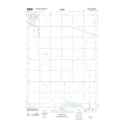 2012 Tyndall2012 Print · USGSBon Homme County is captured here in the early 2000s, showing the agricultural plains as they meet the waters of the Missouri River. Genealogists and researchers can locate Bon Homme Colony and Bon Homme Cem near the shores of Lewis and Clark Lake.
 - 2012 Map of Kloucek Lake, 2012 Print
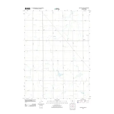 2012 Kloucek Lake2012 Print · USGSYankton County's agricultural heartland is documented here in the early twenty-first century, showing a landscape defined by section-line roads and prairie drainages. Researchers can locate family heritage sites like Ebenezer Cem, Reform Cem, and the waters of Kloucek Lake.
 - 2012 Map of Tripp SE, 2012 Print
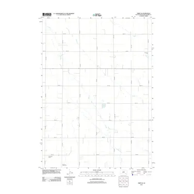 2012 Tripp SE2012 Print · USGSBon Homme County is shown in the early twenty-first century, preserving a landscape of section-line roads and family heritage. Genealogists can locate Freidenthal Cem and Bohemian National Cem alongside landmarks like Plihal Farms Airport.
 - 2015 Map of Tabor, 2015 Print
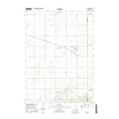 2015 Tabor2015 Print · USGSTabor and the surrounding Bon Homme County prairie are captured here in the mid-2010s, showing a landscape defined by traditional section lines and Czech-influenced heritage. Genealogists can locate family landmarks such as Saint Wenceslaus Cem, Hvezda Zapadu Cem, and the waters of Kubal Lake.
 - 2015 Map of Tyndall, 2015 Print
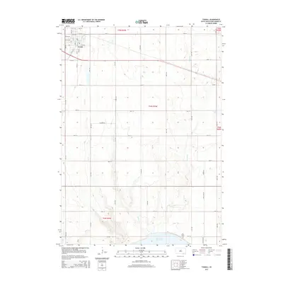 2015 Tyndall2015 Print · USGSTyndall and its surrounding rural sections are captured here in the mid-2010s, showing a landscape defined by its grid-iron roads and prairie drainages. Researchers can locate the Bon Homme Cem near the banks of Lewis and Clark Lake or trace the paths of Silver Cr and Deadman Cr.
 - 2015 Map of Tripp SE, 2015 Print
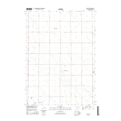 2015 Tripp SE2015 Print · USGSBon Homme County is shown at a contemporary moment, defined by its traditional agricultural grid and deep-rooted heritage sites. Researchers can locate family landmarks such as Bohemian National Cem, the town of Tyndall, and the Plihal Farms Airport.
 - 2015 Map of Kloucek Lake, 2015 Print
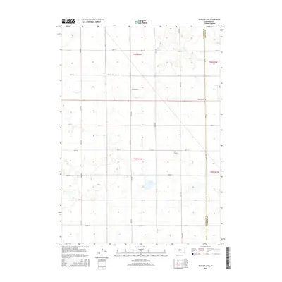 2015 Kloucek Lake2015 Print · USGSThe rural borderlands of Bon Homme and Yankton Counties come into focus in the mid-2010s, showing a landscape defined by prairie agriculture and prairie drainage. Genealogists can locate several local burial sites including Ebenezer Cem, Reform Cem, and Gall Cem near Kloucek Lake.
 - 2017 Map of Tripp SE, 2017 Print
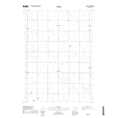 2017 Tripp SE2017 Print · USGSBon Homme County agricultural lands are captured here in 2017, showing a landscape defined by traditional section lines and family heritage. Researchers can locate the Bohemian National Cem, the Neuberg Congregational Cem, and Clear Lake.
 - 2017 Map of Kloucek Lake, 2017 Print
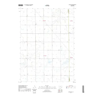 2017 Kloucek Lake2017 Print · USGSLesterville Township was characterized by a well-defined agricultural grid and rural burial grounds in the late twenty-teens. Genealogists can trace local heritage through sites like Petersburg Cem, Worms Cem, and the waters of Kloucek Lake.
 - 2017 Map of Tyndall, 2017 Print
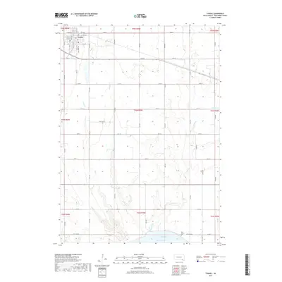 2017 Tyndall2017 Print · USGSThe Bon Homme County seat at Tyndall is shown here in the early twenty-first century, surrounded by the prairie drainages of the Missouri River valley. Researchers can trace rural cemeteries and local roads like Bon Homme Cem and Apple Tree Rd.
 - 2017 Map of Tabor, 2017 Print
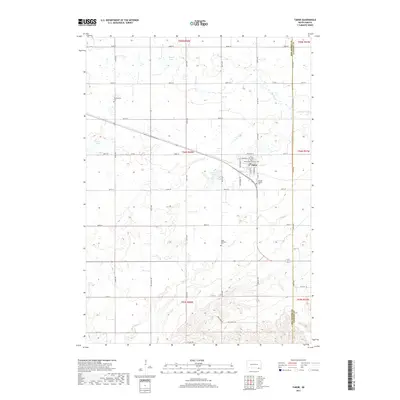 2017 Tabor2017 Print · USGSTabor and its surrounding prairie townships are captured here during the late twenty-first century as the community maintains its agricultural roots. Researchers can locate family sites near Saint Wenceslaus Catholic Cem, Kubal Lake, and Ptaks National Cem.
 - 2021 Map of Tabor, 2021 Print
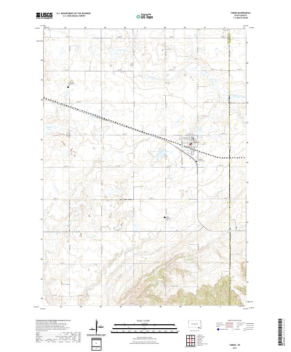 2021 Tabor2021 Print · USGSTabor and the surrounding Bon Homme County countryside are documented here in the early twenty-first century. Genealogists and local historians can trace family roots through numerous burial sites like Saint Wenceslaus Catholic Cem and Ptaks National Cem.
Showing maps 1-25 of 28
Top cities near Lincoln Township
- Springfield historical maps
- Tyndall historical maps
- Scotland historical maps
- Menno historical maps
- Tabor historical maps
- Santee historical maps
See more
Frequently asked questions
- What are the different types of historical maps available for Lincoln Township?
- What is the oldest map of Lincoln Township?
- Where can I purchase historical maps of Lincoln Township for my home or office?
- Where can I download high-res historical maps of Lincoln Township?
- Are there historical topographic maps available for Lincoln Township?
- Is there historical aerial imagery available for Lincoln Township?
- Where are historical maps of Lincoln Township sourced from?