Old Maps of Eureka Township, South Dakota for Metal Detecting
Plan your next treasure hunt with 24 historic maps of Eureka Township. Find old homesites, ghost towns, trails, and gathering spots that may be lost to time — perfect for identifying promising metal detecting locations.
- Locate forgotten sites: Uncover places like long-lost settlements, abandoned rail lines, or gathering spots.
- Plan better hunts: Use map overlays combined with LiDAR or satellite views to narrow in on historically rich areas.
- Made for detectorists: Thousands of hobbyists use these maps to discover relics, coins, and hidden history.
Use these historic maps to boost your research and find new opportunities beneath the surface of Eureka Township.
Eureka Township, SD maps
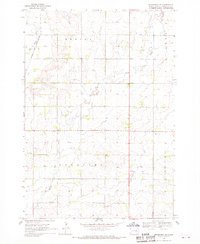
(24)- 1953 Map of Watertown, 1968 Print
 1953 Watertown1968 Print · USGSEastern South Dakota and the Minnesota borderlands are captured here during the mid-twentieth century as the region's agricultural and rail-service centers thrived. Genealogists and local historians can trace family-named sites across the Coteau des Prairies and find landmarks in Watertown, De Smet, and Brookings.3 unique versions available
 - 1958 Map of Watertown
 1958 Watertown1958 Print · USGSThe eastern South Dakota prairie and the Minnesota borderlands are captured here in the late fifties, showcasing a landscape of terminal moraine lakes and burgeoning rail hubs. Genealogists and historians can trace the early paths of the Chicago and North Western railroad or locate family roots in Watertown, Clark, or the Sisseton Indian Reservation.2 unique versions available
 - 1968 Map of Brookings NE, 1970 Print
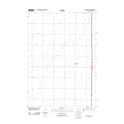
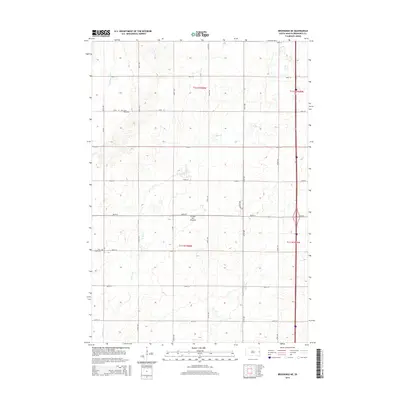
 1968 Brookings NE1970 Print · USGSBrookings County at the end of the 1960s shows a landscape of prairie townships and vital river corridors. Genealogists can trace family roots at St Petri Cem or locate local landmarks like the Sterling Ch and the Townhall.2 unique versions available
 - 1968 Map of Bruce, 1970 Print
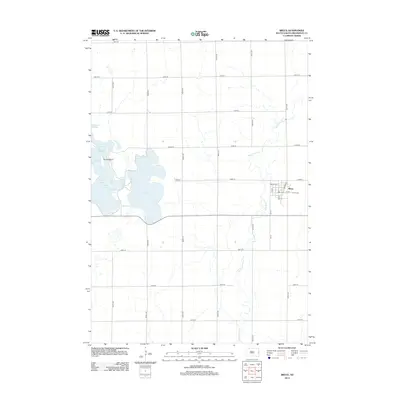
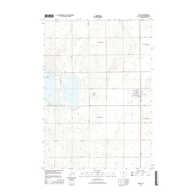
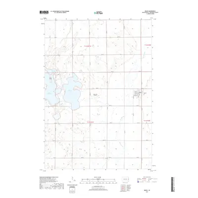
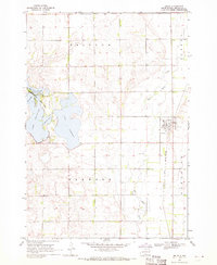 1968 Bruce1970 Print · USGSThe Brookings County plains come into focus in the late 1960s, showing the intersection of rail and river near the town of Bruce. Researchers can trace the Chicago and North Western tracks or locate family plots in the Bruce Cem and explore the shoreline of Lake Tetonkaha.
 - 1970 Map of Estelline SE, 1972 Print
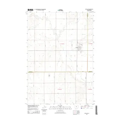
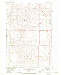 1970 Estelline SE1972 Print · USGSDeuel and Brookings counties are shown during a period of infrastructure growth in the 1970s. Genealogists and local historians can locate the St John Cem, the settlement of Johnsonville, and the Chicago and Northwestern rail line.2 unique versions available
 - 1970 Map of Estelline, 1972 Print
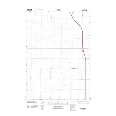
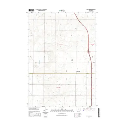
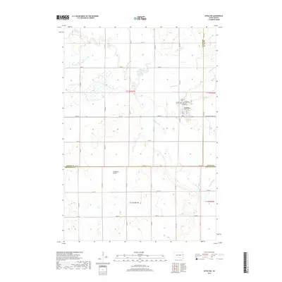
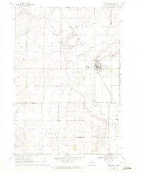 1970 Estelline1972 Print · USGSEstelline at the start of the 1970s shows a classic prairie rail town defined by the Big Sioux River and the Chicago and North Western line. Genealogists and local historians can locate family plots at the local Cem or trace landmarks like the Estelline Municipal Airport and numerous rural Gravel Pits.
 - 1985 Map of Brookings
 1985 Brookings1985 Print · USGSThe South Dakota and Minnesota borderlands in the mid-1980s are defined here by a network of prairie lakes and bustling rail corridors. Researchers can trace the path of the Chicago and North Western through Brookings or explore the numerous wetlands of Oakwood Lakes State Park.2 unique versions available
 - 1985 Map of Clear Lake
 1985 Clear Lake1985 Print · USGSThe South Dakota and Minnesota borderlands are captured here in the mid-eighties as a landscape of prairie towns and wildlife refuges. Researchers can trace the legacy of regional transport through the Chicago and North Western tracks and the Old Railroad Grade.2 unique versions available
 - 2012 Map of Estelline SE, 2012 Print
 2012 Estelline SE2012 Print · USGSCovers Eureka Township, including Johnsonville, Argo Township, and other nearby areas
 - 2012 Map of Estelline, 2012 Print
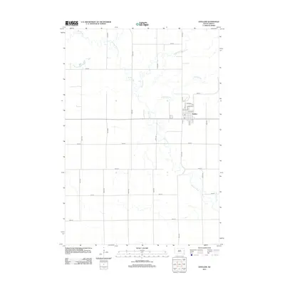 2012 Estelline2012 Print · USGSCovers Eureka Township, including Estelline, Estelline Township, and other nearby areas
 - 2012 Map of Brookings NE, 2012 Print
 2012 Brookings NE2012 Print · USGSCovers Eureka Township, including Argo Township, Afton Township, and other nearby areas
 - 2012 Map of Bruce, 2012 Print
 2012 Bruce2012 Print · USGSCovers Eureka Township, including Bruce, Oakwood Township, and other nearby areas
 - 2015 Map of Estelline SE, 2015 Print
 2015 Estelline SE2015 Print · USGSCovers Eureka Township, including Johnsonville, Argo Township, and other nearby areas
 - 2015 Map of Estelline, 2015 Print
 2015 Estelline2015 Print · USGSCovers Eureka Township, including Estelline, Estelline Township, and other nearby areas
 - 2015 Map of Brookings NE, 2015 Print
 2015 Brookings NE2015 Print · USGSCovers Eureka Township, including Argo Township, Afton Township, and other nearby areas
 - 2015 Map of Bruce, 2015 Print
 2015 Bruce2015 Print · USGSCovers Eureka Township, including Bruce, Oakwood Township, and other nearby areas
 - 2017 Map of Estelline, 2017 Print
 2017 Estelline2017 Print · USGSCovers Eureka Township, including Estelline, Estelline Township, and other nearby areas
 - 2017 Map of Bruce, 2017 Print
 2017 Bruce2017 Print · USGSCovers Eureka Township, including Bruce, Oakwood Township, and other nearby areas
 - 2017 Map of Brookings NE, 2017 Print
 2017 Brookings NE2017 Print · USGSCovers Eureka Township, including Argo Township, Afton Township, and other nearby areas
 - 2017 Map of Estelline SE, 2017 Print
 2017 Estelline SE2017 Print · USGSCovers Eureka Township, including Johnsonville, Argo Township, and other nearby areas
 - 2021 Map of Brookings NE, 2021 Print
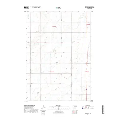
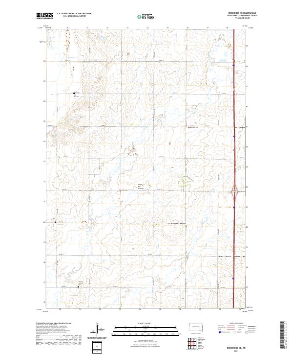 2021 Brookings NE2021 Print · USGSBrookings County at the start of the 2020s remains a landscape of high prairie agriculture and winding waterways. Family historians can trace rural roots at Saint Petri Cem, Deer Creek Cem, and the Sterling Lutheran Cem.
 - 2021 Map of Estelline SE, 2021 Print
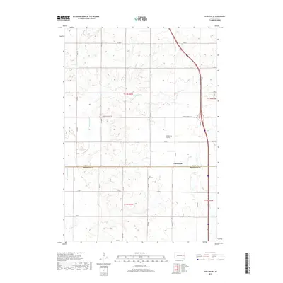
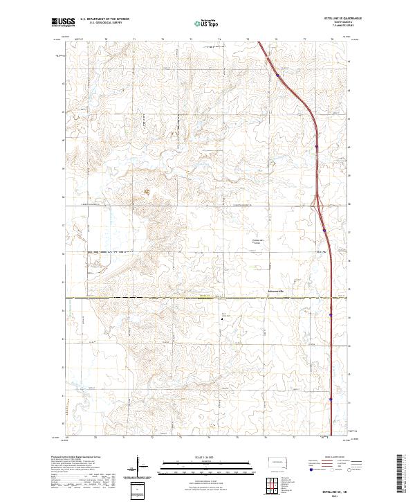 2021 Estelline SE2021 Print · USGSDeuel and Brookings counties are captured in the early 2020s, showing the high-country terrain of the Coteau des Prairies. Researchers can trace local heritage at Saint Johns Cem and the drainage of the Big Sioux River near Johnsonville.
 - 2021 Map of Estelline, 2021 Print
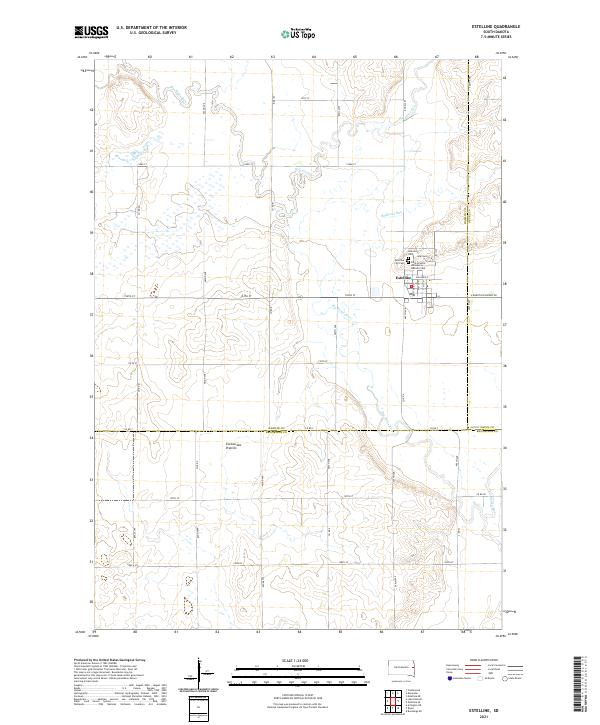 2021 Estelline2021 Print · USGSThe community of Estelline and the eastern edge of the Coteau des Prairies are captured in this modern survey. Genealogists can locate family sites at Hillcrest Cem and Saint Francis de Sales Catholic Cem while tracing the winding path of the Big Sioux River.
 - 2021 Map of Bruce, 2021 Print
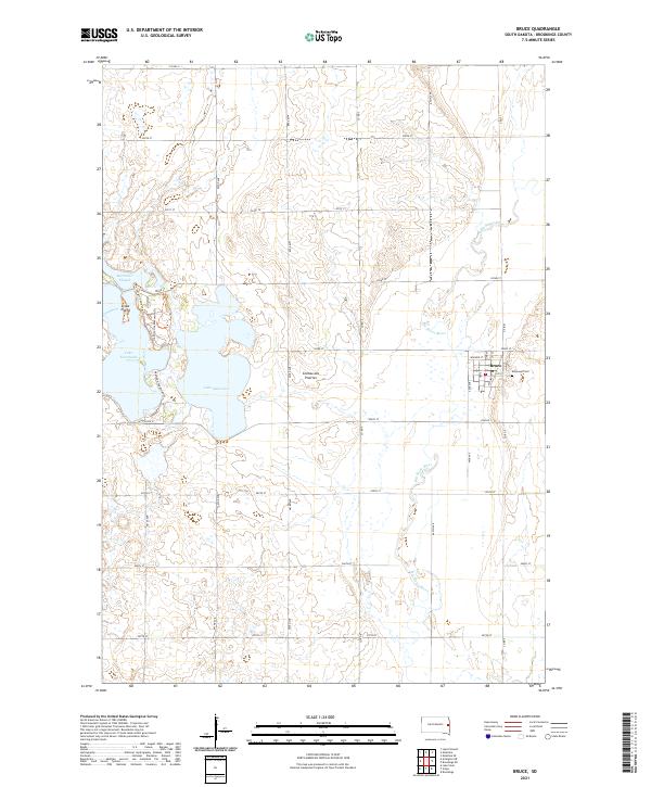 2021 Bruce2021 Print · USGSBruce and its surrounding Brookings County prairie are captured here in the early twenty-first century, showcasing the intersection of agricultural land and glacial lakes. Trace the local geography from the Big Sioux River to the shores of Lake Oakwood and Elmwood Cem.
End of results
Showing maps 1-24 of 24
Top cities near Eureka Township
- Brookings historical maps
- Volga historical maps
- Estelline historical maps
- Castlewood historical maps
- White historical maps
- Aurora historical maps
See more
Frequently asked questions
- What are the different types of historical maps available for Eureka Township?
- What is the oldest map of Eureka Township?
- Where can I purchase historical maps of Eureka Township for my home or office?
- Where can I download high-res historical maps of Eureka Township?
- Are there historical topographic maps available for Eureka Township?
- Is there historical aerial imagery available for Eureka Township?
- Where are historical maps of Eureka Township sourced from?