Old Maps of Bath Township, South Dakota for Metal Detecting
Plan your next treasure hunt with 27 historic maps of Bath Township. Find old homesites, ghost towns, trails, and gathering spots that may be lost to time — perfect for identifying promising metal detecting locations.
- Locate forgotten sites: Uncover places like long-lost settlements, abandoned rail lines, or gathering spots.
- Plan better hunts: Use map overlays combined with LiDAR or satellite views to narrow in on historically rich areas.
- Made for detectorists: Thousands of hobbyists use these maps to discover relics, coins, and hidden history.
Use these historic maps to boost your research and find new opportunities beneath the surface of Bath Township.
Bath Township, SD maps
(27)- 1894 Map of Columbia
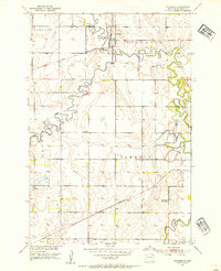
 1894 Columbia1894 Print · USGSBrown County in the 1890s reveals a prairie landscape defined by the winding James River and a growing railroad network. Genealogists and historians can trace early settlements like Columbia, Ordway, and Westport along the emerging lines of the Chicago and Northwestern.
 - 1895 Map of Aberdeen
 1895 Aberdeen1895 Print · USGSNortheastern South Dakota was rapidly evolving in the 1890s as a vital railroad corridor through the James River Valley. Local historians and genealogists can trace the early layout of rail-side towns like Warner, Groton, and the burgeoning hub of Aberdeen.4 unique versions available
 - 1896 Map of Columbia
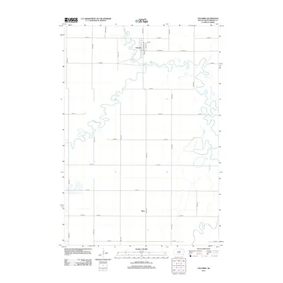
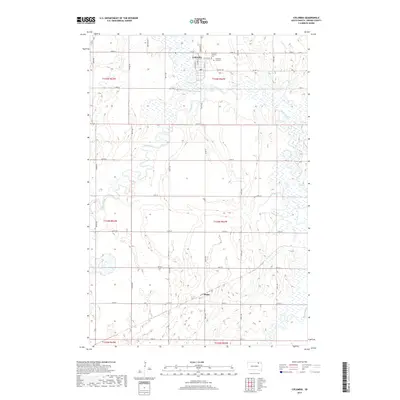
 1896 Columbia1896 Print · USGSSettlement along the upper James River valley flourished in the 1890s as railroads expanded through the Dakota Territory. Trace the rail-fed growth of Columbia and Hecla alongside the waters of Sand Lake and Lake Columbia.3 unique versions available
 - 1952 Map of Columbia, 1954 Print
 1952 Columbia1954 Print · USGSBrown County’s river valleys and rail lines are captured here in the early fifties, showing the confluence of the James River and Elm River. Researchers can trace the path of the Great Northern railroad and locate rural landmarks like Davis Sch and Plana.
 - 1952 Map of Ordway, 1954 Print
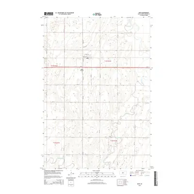
 1952 Ordway1954 Print · USGSMid-century Brown County is defined here by the winding Elm River and the rural rail crossroads at Ordway. Genealogists and local historians can trace the locations of the Thorson Sch, Prairie View Sch, and the Aberdeen Filtration Plant.
 - 1954 Map of Bath, 1955 Print
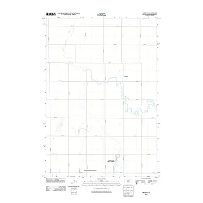
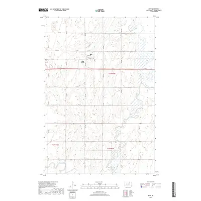
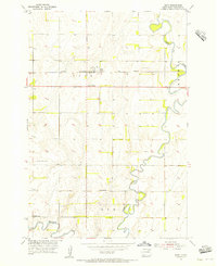 1954 Bath1955 Print · USGSMid-century Brown County, South Dakota, reveals a landscape of prairie farms and river management. Trace rural life through the German Cem, local schoolhouses like Rainbow Sch, and the rail corridor of the Chicago Milwaukee St Paul and Pacific.2 unique versions available
 - 1954 Map of Aberdeen, 1964 Print
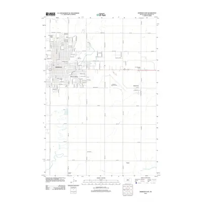
 1954 Aberdeen1964 Print · USGSNortheastern South Dakota in the mid-fifties remains a world of rail-dependent prairie towns and sweeping waterfowl refuges. Genealogists can trace family roots through settlements like Eureka and Ipswich or locate rural landmarks near Richmond Lake.2 unique versions available
 - 1956 Map of Aberdeen
 1956 Aberdeen1956 Print · USGSUpper South Dakota during the mid-fifties remains a landscape of rail-connected farming towns and expansive glacial lake basins. Genealogists and historians can trace the paths of the Minneapolis and St Louis railroad through Gettysburg or locate vanished stops near Elm Lake and Richmond Lake.
 - 1960 Map of Aberdeen East, 1961 Print
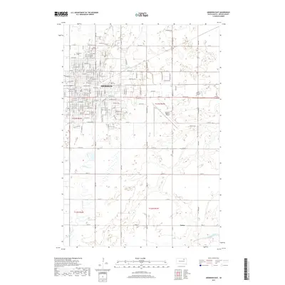
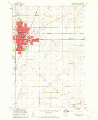 1960 Aberdeen East1961 Print · USGSAberdeen was a bustling South Dakota hub at the start of the sixties, where several major rail lines met the growing residential streets. Trace local genealogy and history at St Marys Cem, Presentation Heights College, and Northern State Teachers College.2 unique versions available
 - 1985 Map of Elm River
 1985 Elm River1985 Print · USGSSpanning the state line during the mid-eighties, this area shows a landscape of river-fed reservoirs and agricultural colonies. Genealogists and historians can locate communal settlements like Spring Creek Colony and rail stops along the Burlington Northern Railroad or the Chicago and North Western Railroad.2 unique versions available
 - 1985 Map of Aberdeen
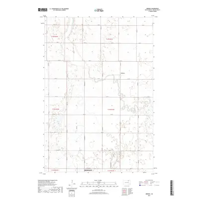
 1985 Aberdeen1985 Print · USGSThe James River valley of South Dakota is seen here in the mid-eighties, centered on the growing hub of Aberdeen. Genealogists and historians can trace the rail corridors of the Chicago and North Western or find rural landmarks like Bath Corner and South Scatterwood Lake.2 unique versions available
 - 2012 Map of Bath, 2012 Print
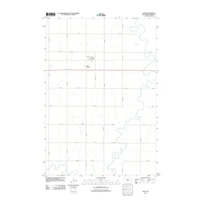 2012 Bath2012 Print · USGSCovers Bath Township, including Bath, Gem Township, and other nearby areas
 - 2012 Map of Ordway, 2012 Print
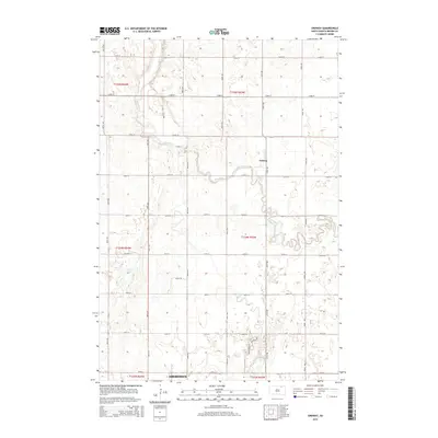
 2012 Ordway2012 Print · USGSCovers Bath Township, including Aberdeen, Ordway, and other nearby areas
 - 2012 Map of Aberdeen East, 2012 Print
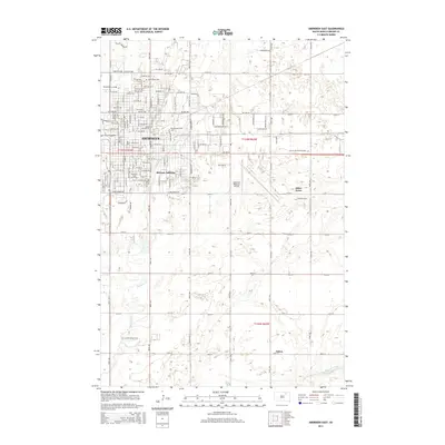
 2012 Aberdeen East2012 Print · USGSCovers Bath Township, including Aberdeen, Melrose Addition, and other nearby areas
 - 2012 Map of Columbia, 2012 Print
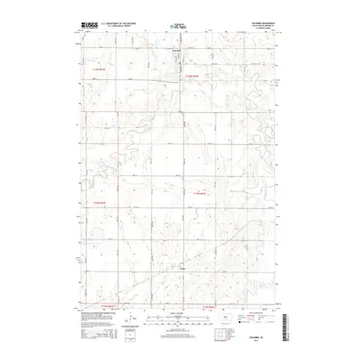
 2012 Columbia2012 Print · USGSCovers Bath Township, including Columbia, Plana, and other nearby areas
 - 2015 Map of Bath, 2015 Print
 2015 Bath2015 Print · USGSCovers Bath Township, including Bath, Gem Township, and other nearby areas
 - 2015 Map of Columbia, 2015 Print
 2015 Columbia2015 Print · USGSCovers Bath Township, including Columbia, Plana, and other nearby areas
 - 2015 Map of Aberdeen East, 2015 Print
 2015 Aberdeen East2015 Print · USGSCovers Bath Township, including Aberdeen, Melrose Addition, and other nearby areas
 - 2015 Map of Ordway, 2015 Print
 2015 Ordway2015 Print · USGSCovers Bath Township, including Aberdeen, Ordway, and other nearby areas
 - 2017 Map of Columbia, 2017 Print
 2017 Columbia2017 Print · USGSCovers Bath Township, including Columbia, Plana, and other nearby areas
 - 2017 Map of Ordway, 2017 Print
 2017 Ordway2017 Print · USGSCovers Bath Township, including Aberdeen, Ordway, and other nearby areas
 - 2017 Map of Bath, 2017 Print
 2017 Bath2017 Print · USGSCovers Bath Township, including Bath, Gem Township, and other nearby areas
 - 2017 Map of Aberdeen East, 2017 Print
 2017 Aberdeen East2017 Print · USGSCovers Bath Township, including Aberdeen, Melrose Addition, and other nearby areas
 - 2021 Map of Aberdeen East, 2021 Print
 2021 Aberdeen East2021 Print · USGSAberdeen and its rural outskirts are captured in detail during the early 2020s as the city expands into the James River Valley. Researchers can locate family sites at Saint Marys Cem, trace the campus of Northern State University, or follow the banks of Moccasin Creek.
 - 2021 Map of Bath, 2021 Print
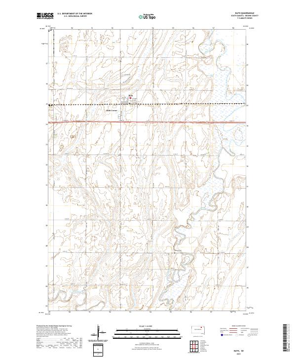 2021 Bath2021 Print · USGSThe rural prairie of Brown County comes alive in this contemporary record of its settlement and waterways. Genealogists and local historians can trace the area around Bath, locate the German Cem, and follow the serpentine James River through the heart of the township.
Showing maps 1-25 of 27
Top cities near Bath Township
- Aberdeen historical maps
- Bath historical maps
- Warner historical maps
- Ordway historical maps
- Columbia historical maps
- Westport historical maps
See more
Top neighborhoods of Bath Township
Frequently asked questions
- What are the different types of historical maps available for Bath Township?
- What is the oldest map of Bath Township?
- Where can I purchase historical maps of Bath Township for my home or office?
- Where can I download high-res historical maps of Bath Township?
- Are there historical topographic maps available for Bath Township?
- Is there historical aerial imagery available for Bath Township?
- Where are historical maps of Bath Township sourced from?