2020s Maps of Franklyn Township, South Dakota
Explore 4 historic maps of Franklyn Township from the 2020s. These maps offer a rare glimpse into what life looked like during the 2020s — showing old roads, neighborhoods, homes, and landmarks that have changed or disappeared over time.
Whether you're researching your family's past, planning a metal detecting trip, or studying how Franklyn Township's landscape evolved across the 2020s, these high-resolution maps are a powerful tool for exploring the history of this region.
- Focus on a specific era: All maps on this page are from the 2020s, giving you a focused view of this time period.
- See what’s changed: Compare century-old streets, trails, and buildings to today's modern landscape using overlays and satellite layers.
- Research with precision: Use these maps for genealogy, historical research, land use analysis, or educational projects.
- View, download, or print: Maps are fully viewable online in high resolution, and can be downloaded or printed for your own records.
Start exploring Franklyn Township's history through authentic maps from the 2020s. This is your window into the past.
Franklyn Township, SD maps
(4)- 2021 Map of Frederick SW, 2021 Print
 2021 Frederick SW2021 Print · USGSThe McPherson and Brown County borderlands come into focus in this recent survey of northern South Dakota's glaciated plains. Researchers can trace the winding course of the Elm River as it feeds into Elm Lake and follow the rigid section-line grid of rural routes like Co Rd 2.
 - 2021 Map of Richmond NE, 2021 Print
 2021 Richmond NE2021 Print · USGSBrown County's prairie landscape near the Elm River is captured here in the early twenty-first century. Genealogists and local historians can trace the rural layout of Westport, locate the Westport Cem, and study the drainage of Willow Creek Lake.
 - 2021 Map of Richmond NW, 2021 Print
 2021 Richmond NW2021 Print · USGSNorthern South Dakota remains a landscape of traditional section lines and prairie drainage in the early twenty-first century. Genealogists and local historians can locate Willow Creek Cem and trace the paths of Willow Cr and Dry Run as they weave through the section grid.
 - 2021 Map of Frederick, 2021 Print
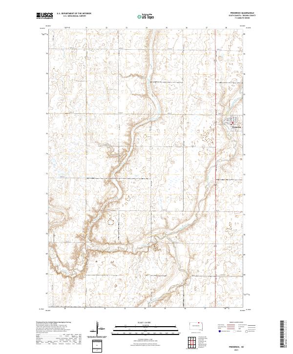 2021 Frederick2021 Print · USGSNorthern Brown County is mapped here during the early twenty-first century, showing the rural community of Frederick at the confluence of prairie waterways. Researchers can trace local street layouts like Railway Ave or follow the winding paths of the Maple River and Elm River.
End of results
Showing maps 1-4 of 4
Top cities near Franklyn Township
- Aberdeen historical maps
- Frederick historical maps
- Westport historical maps
- Forbes historical maps
- Wetonka historical maps
Frequently asked questions
- What are the different types of historical maps available for Franklyn Township?
- What is the oldest map of Franklyn Township?
- Where can I purchase historical maps of Franklyn Township for my home or office?
- Where can I download high-res historical maps of Franklyn Township?
- Are there historical topographic maps available for Franklyn Township?
- Is there historical aerial imagery available for Franklyn Township?
- Where are historical maps of Franklyn Township sourced from?