Old Maps of Franklyn Township, South Dakota for Academic Research
Study the evolution of Franklyn Township with 25 high-resolution historic maps. Whether you're teaching, researching, or modeling changes in land use, these maps provide essential visual documentation of urban, environmental, and geographic change.
- Analyze long-term change: Track patterns in development, transportation, and natural features.
- Ideal for environmental or urban studies: Support academic projects with primary historical map data.
- Use in the classroom or lab: Educators and researchers rely on these maps to bring historical context to life.
These maps are a powerful tool for teaching, research, and visualizing how Franklyn Township has changed over the decades.
Franklyn Township, SD maps
(25)- 1894 Map of Ellendale
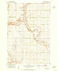
 1894 Ellendale1894 Print · USGSDakota Territory transitions into new states in the late nineteenth century as the rail-and-river economy takes root. Genealogists can trace early township structures across Wheatland and Osceola, or locate residents near Frederick along the Chicago Milwaukee and St. Paul Railway.
 - 1899 Map of Ellendale
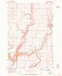
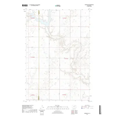
 1899 Ellendale1899 Print · USGSNorth Dakota and South Dakota borderlands come into focus at the close of the nineteenth century as the railroad transforms the prairie. Genealogists and historians can trace the early growth of Ellendale and Leola along with vanished stops like Alpha and Delhi.2 unique versions available
 - 1952 Map of Richmond NE, 1954 Print
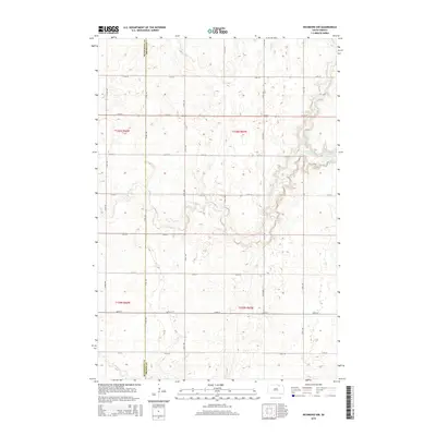
 1952 Richmond NE1954 Print · USGSBrown County's prairie landscape in the early fifties shows a rural community in transition as schools and small settlements consolidate. Researchers can locate family landmarks like the Westport Cem and trace the paths of Willow Creek and the Elm River.2 unique versions available
 - 1953 Map of Frederick, 1955 Print
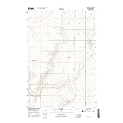
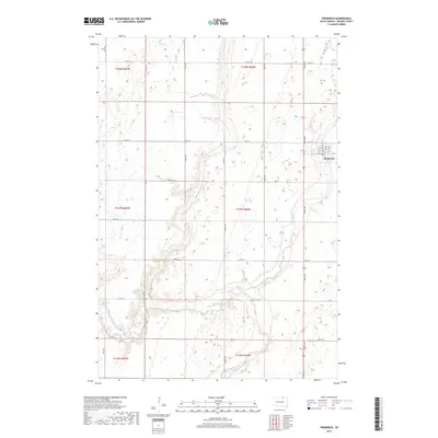
 1953 Frederick1955 Print · USGSMid-century Brown County is documented here during the Missouri River Basin development era, centered on the rail-side town of Frederick. Genealogists can locate rural landmarks like School No 10 and the site of School No 2 near the Maple River.2 unique versions available
 - 1954 Map of Aberdeen, 1964 Print
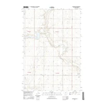
 1954 Aberdeen1964 Print · USGSNortheastern South Dakota in the mid-fifties remains a world of rail-dependent prairie towns and sweeping waterfowl refuges. Genealogists can trace family roots through settlements like Eureka and Ipswich or locate rural landmarks near Richmond Lake.2 unique versions available
 - 1956 Map of Aberdeen
 1956 Aberdeen1956 Print · USGSUpper South Dakota during the mid-fifties remains a landscape of rail-connected farming towns and expansive glacial lake basins. Genealogists and historians can trace the paths of the Minneapolis and St Louis railroad through Gettysburg or locate vanished stops near Elm Lake and Richmond Lake.
 - 1968 Map of Frederick SW, 1970 Print
 1968 Frederick SW1970 Print · USGSBrown County’s rural townships are documented here in the late sixties as the agricultural landscape remained tied to the winding Elm River. Researchers can trace historic property boundaries and find local landmarks like the Townhall and the Spillway at Elm Lake.
 - 1970 Map of Richmond NW, 1973 Print
 1970 Richmond NW1973 Print · USGSBrown and McPherson counties come alive in the early 1970s, showcasing a landscape of section lines and prairie drainage. Genealogists and historians can locate the United Church of the Brethren Cem, a local Townhall, and the remnant Old Railroad Grade.
 - 1985 Map of Elm River
 1985 Elm River1985 Print · USGSSpanning the state line during the mid-eighties, this area shows a landscape of river-fed reservoirs and agricultural colonies. Genealogists and historians can locate communal settlements like Spring Creek Colony and rail stops along the Burlington Northern Railroad or the Chicago and North Western Railroad.2 unique versions available
 - 2012 Map of Frederick, 2012 Print
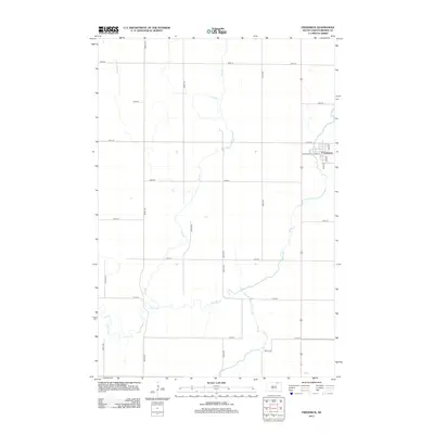 2012 Frederick2012 Print · USGSCovers Franklyn Township, including Frederick, Frederick Township, and other nearby areas
 - 2012 Map of Frederick SW, 2012 Print
 2012 Frederick SW2012 Print · USGSCovers Franklyn Township, including Palmyra Township, Allison Township, and other nearby areas
 - 2012 Map of Richmond NE, 2012 Print
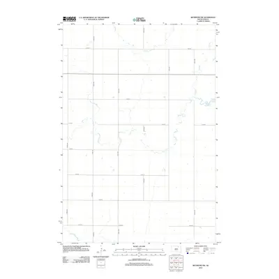
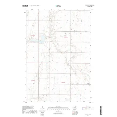
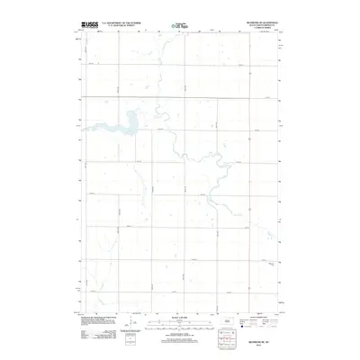 2012 Richmond NE2012 Print · USGSCovers Franklyn Township, including Westport, Oneota Township, and other nearby areas
 - 2012 Map of Richmond NW, 2012 Print
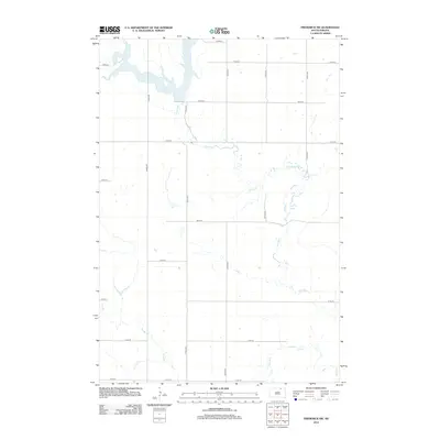
 2012 Richmond NW2012 Print · USGSCovers Franklyn Township, including Carlisle Township, Brown County, and other nearby areas
 - 2015 Map of Frederick, 2015 Print
 2015 Frederick2015 Print · USGSCovers Franklyn Township, including Frederick, Frederick Township, and other nearby areas
 - 2015 Map of Frederick SW, 2015 Print
 2015 Frederick SW2015 Print · USGSCovers Franklyn Township, including Palmyra Township, Allison Township, and other nearby areas
 - 2015 Map of Richmond NW, 2015 Print
 2015 Richmond NW2015 Print · USGSCovers Franklyn Township, including Carlisle Township, Brown County, and other nearby areas
 - 2015 Map of Richmond NE, 2015 Print
 2015 Richmond NE2015 Print · USGSCovers Franklyn Township, including Westport, Oneota Township, and other nearby areas
 - 2017 Map of Frederick, 2017 Print
 2017 Frederick2017 Print · USGSCovers Franklyn Township, including Frederick, Frederick Township, and other nearby areas
 - 2017 Map of Frederick SW, 2017 Print
 2017 Frederick SW2017 Print · USGSCovers Franklyn Township, including Palmyra Township, Allison Township, and other nearby areas
 - 2017 Map of Richmond NE, 2017 Print
 2017 Richmond NE2017 Print · USGSCovers Franklyn Township, including Westport, Oneota Township, and other nearby areas
 - 2017 Map of Richmond NW, 2017 Print
 2017 Richmond NW2017 Print · USGSCovers Franklyn Township, including Carlisle Township, Brown County, and other nearby areas
 - 2021 Map of Frederick SW, 2021 Print
 2021 Frederick SW2021 Print · USGSThe McPherson and Brown County borderlands come into focus in this recent survey of northern South Dakota's glaciated plains. Researchers can trace the winding course of the Elm River as it feeds into Elm Lake and follow the rigid section-line grid of rural routes like Co Rd 2.
 - 2021 Map of Richmond NE, 2021 Print
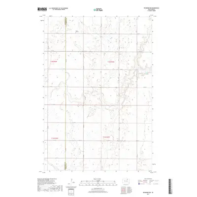
 2021 Richmond NE2021 Print · USGSBrown County's prairie landscape near the Elm River is captured here in the early twenty-first century. Genealogists and local historians can trace the rural layout of Westport, locate the Westport Cem, and study the drainage of Willow Creek Lake.
 - 2021 Map of Richmond NW, 2021 Print
 2021 Richmond NW2021 Print · USGSNorthern South Dakota remains a landscape of traditional section lines and prairie drainage in the early twenty-first century. Genealogists and local historians can locate Willow Creek Cem and trace the paths of Willow Cr and Dry Run as they weave through the section grid.
 - 2021 Map of Frederick, 2021 Print
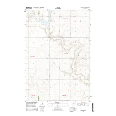
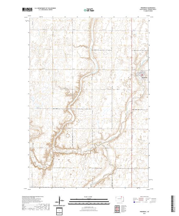 2021 Frederick2021 Print · USGSNorthern Brown County is mapped here during the early twenty-first century, showing the rural community of Frederick at the confluence of prairie waterways. Researchers can trace local street layouts like Railway Ave or follow the winding paths of the Maple River and Elm River.
End of results
Showing maps 1-25 of 25
Top cities near Franklyn Township
- Aberdeen historical maps
- Frederick historical maps
- Westport historical maps
- Forbes historical maps
- Wetonka historical maps
Frequently asked questions
- What are the different types of historical maps available for Franklyn Township?
- What is the oldest map of Franklyn Township?
- Where can I purchase historical maps of Franklyn Township for my home or office?
- Where can I download high-res historical maps of Franklyn Township?
- Are there historical topographic maps available for Franklyn Township?
- Is there historical aerial imagery available for Franklyn Township?
- Where are historical maps of Franklyn Township sourced from?