Old Maps of Groton Township, South Dakota
Explore 40 old maps of Groton Township, spanning from 1895 to today. These high-resolution historic maps reveal how streets, neighborhoods, landmarks, and natural features evolved over time — perfect for genealogy, metal detecting, research, and local history exploration.
What you can do with these maps:
- See how Groton Township changed over time: Compare historical maps to modern-day views to trace roads, homesites, rail lines & more.
- View detailed metadata: Each map includes creators, publishers, year, scale, and archive source.
- Overlay maps with satellite & LiDAR: Visualize the past alongside modern tools to explore terrain & human change.
- Trusted historical sources: Maps sourced from the USGS, Library of Congress, and other archives.
- Access maps your way: View online, download high-res files, or order prints for personal or research use.
Start exploring old maps of Groton Township to uncover forgotten places, hidden landmarks, and the deep history beneath your feet.
Groton Township, SD maps
(40)- 1895 Map of Aberdeen
 1895 Aberdeen1895 Print · USGSNortheastern South Dakota was rapidly evolving in the 1890s as a vital railroad corridor through the James River Valley. Local historians and genealogists can trace the early layout of rail-side towns like Warner, Groton, and the burgeoning hub of Aberdeen.4 unique versions available
 - 1896 Map of Columbia
 1896 Columbia1896 Print · USGSSettlement along the upper James River valley flourished in the 1890s as railroads expanded through the Dakota Territory. Trace the rail-fed growth of Columbia and Hecla alongside the waters of Sand Lake and Lake Columbia.3 unique versions available
 - 1952 Map of Huffton, 1954 Print
 1952 Huffton1954 Print · USGSBrown County's rural townships and rail-side settlements are captured here in the early fifties during a period of infrastructure transition. Researchers can locate the Great Northern rail line and several country schools like Happy Hour Sch and the Washington Sch (Abandoned).
 - 1952 Map of Putney, 1954 Print
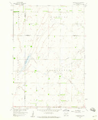
 1952 Putney1954 Print · USGSBrown County's rural townships and the meandering James River are captured here in the early fifties. Genealogists and local historians can trace schoolhouse sites like Riverside Sch and the rail-side community of Putney along the Great Northern line.
 - 1953 Map of Milbank, 1958 Print
 1953 Milbank1958 Print · USGSThe tri-state border region of South Dakota, North Dakota, and Minnesota is shown here during the early fifties, a landscape defined by glacial lakes and the Sisseton Indian Reservation. Researchers can trace the legacy of the western railroads, locating old stops along the Great Northern and settlements like Milbank, Webster, and Sisseton.3 unique versions available
 - 1954 Map of Groton, 1955 Print
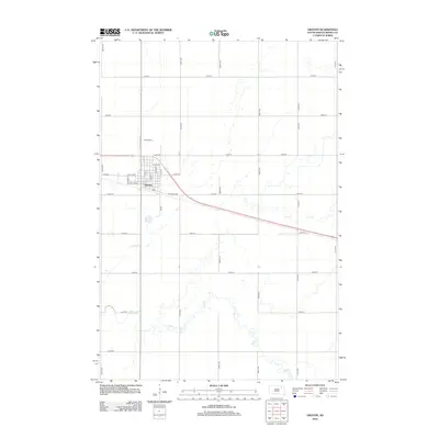
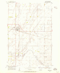 1954 Groton1955 Print · USGSGroton and the surrounding South Dakota prairie are shown in the mid-fifties as a vital rail junction and farming center. Genealogists and local historians can trace rural landmarks like the Prairie Side Sch, the Groton Cem, and the path of Mud Creek.2 unique versions available
 - 1954 Map of James, 1955 Print
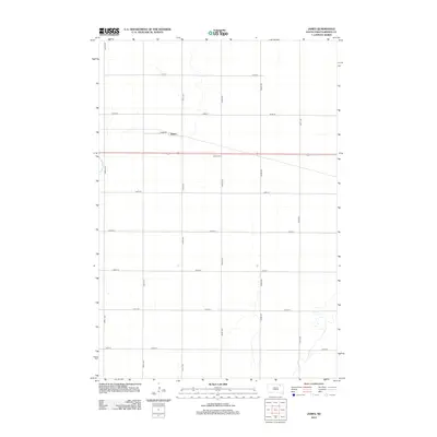
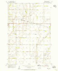 1954 James1955 Print · USGSBrown County's prairie landscape was dotted with family-named schoolhouses and rail sidings during the mid-1950s. Genealogists and local historians can trace specific community hubs like James, the Joan of Arc Sch, and the James Cemetery.2 unique versions available
 - 1954 Map of Aberdeen, 1964 Print
 1954 Aberdeen1964 Print · USGSNortheastern South Dakota in the mid-fifties remains a world of rail-dependent prairie towns and sweeping waterfowl refuges. Genealogists can trace family roots through settlements like Eureka and Ipswich or locate rural landmarks near Richmond Lake.2 unique versions available
 - 1956 Map of Aberdeen
 1956 Aberdeen1956 Print · USGSUpper South Dakota during the mid-fifties remains a landscape of rail-connected farming towns and expansive glacial lake basins. Genealogists and historians can trace the paths of the Minneapolis and St Louis railroad through Gettysburg or locate vanished stops near Elm Lake and Richmond Lake.
 - 1958 Map of Milbank
 1958 Milbank1958 Print · USGSThe northern Great Plains in the late fifties show a landscape of glacial lakes and reservation lands shaped by the Great Northern railroad. Genealogists and local historians can trace the grid of settlements from Britton to Milbank and locate landmarks like Enemy Swim Lake and the Sisseton Indian Reservation.
 - 1958 Map of Andover, 1960 Print
 1958 Andover1960 Print · USGSAndover was a vital railroad hub in Day County during the late 1950s, centered on the Chicago Milwaukee St Paul and Pacific line. Genealogists can trace local roots at Andover Cem and All Saints Cem or locate the old Gravel Pit.2 unique versions available
 - 1958 Map of Langford SW, 1960 Print
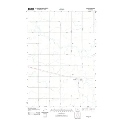
 1958 Langford SW1960 Print · USGSNortheastern South Dakota's glacial landscape is captured in the late 1950s where Brown, Marshall, and Day Counties meet. Researchers can locate the Augustana Cem, the central Town Hall, and water features like Antelope Creek.2 unique versions available
 - 1979 Map of Sisseton, 1980 Print
 1979 Sisseton1980 Print · USGSNortheastern South Dakota and the North Dakota borderlands appear here in the late seventies, centered on the high glacial plateau. Genealogists and historians can trace the Sisseton Indian Reservation and rail-stop towns like Britton and Lake City.
 - 1985 Map of Webster
 1985 Webster1985 Print · USGSNortheastern South Dakota in the mid-eighties reveals a landscape of prairie potholes and rail-line towns centered on the Webster region. Genealogists and historians can trace rail-town development along the Burlington Northern and find early conservation boundaries like the Waubay National Wildlife Refuge.2 unique versions available
 - 1985 Map of Elm River
 1985 Elm River1985 Print · USGSSpanning the state line during the mid-eighties, this area shows a landscape of river-fed reservoirs and agricultural colonies. Genealogists and historians can locate communal settlements like Spring Creek Colony and rail stops along the Burlington Northern Railroad or the Chicago and North Western Railroad.2 unique versions available
 - 1985 Map of Aberdeen
 1985 Aberdeen1985 Print · USGSThe James River valley of South Dakota is seen here in the mid-eighties, centered on the growing hub of Aberdeen. Genealogists and historians can trace the rail corridors of the Chicago and North Western or find rural landmarks like Bath Corner and South Scatterwood Lake.2 unique versions available
 - 2012 Map of Andover, 2012 Print
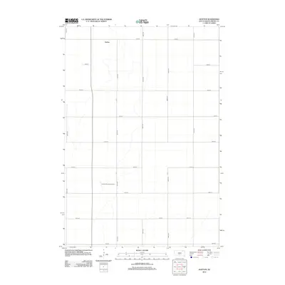
 2012 Andover2012 Print · USGSCovers Groton Township, including Andover, East Hanson Township, and other nearby areas
 - 2012 Map of Langford SW, 2012 Print
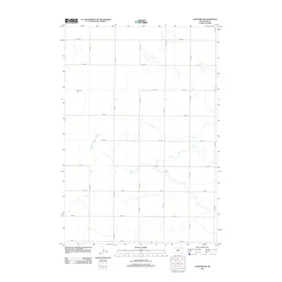 2012 Langford SW2012 Print · USGSCovers Groton Township, including Riverside Township, Claremont Township, and other nearby areas
 - 2012 Map of James, 2012 Print
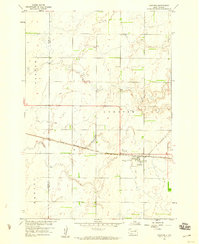
 2012 James2012 Print · USGSCovers Groton Township, including Gem Township, James, and other nearby areas
 - 2012 Map of Groton, 2012 Print
 2012 Groton2012 Print · USGSCovers Groton Township, including Groton, West Hanson Township, and other nearby areas
 - 2012 Map of Huffton, 2012 Print
 2012 Huffton2012 Print · USGSCovers Groton Township, including Riverside Township, Claremont Township, and other nearby areas
 - 2012 Map of Putney, 2012 Print
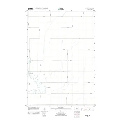 2012 Putney2012 Print · USGSCovers Groton Township, including Putney, Tacoma Park, and other nearby areas
 - 2015 Map of Andover, 2015 Print
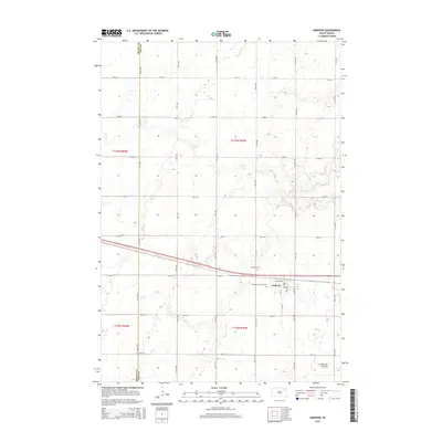 2015 Andover2015 Print · USGSCovers Groton Township, including Andover, East Hanson Township, and other nearby areas
 - 2015 Map of Langford SW, 2015 Print
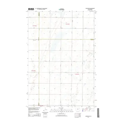 2015 Langford SW2015 Print · USGSCovers Groton Township, including Riverside Township, Claremont Township, and other nearby areas
 - 2015 Map of Huffton, 2015 Print
 2015 Huffton2015 Print · USGSCovers Groton Township, including Riverside Township, Claremont Township, and other nearby areas
Showing maps 1-25 of 40
Top cities near Groton Township
- Groton historical maps
- Claremont historical maps
- Pierpont historical maps
- Hutterville Colony historical maps
- Andover historical maps
- Putney historical maps
See more
Top neighborhoods of Groton Township
Frequently asked questions
- What are the different types of historical maps available for Groton Township?
- What is the oldest map of Groton Township?
- Where can I purchase historical maps of Groton Township for my home or office?
- Where can I download high-res historical maps of Groton Township?
- Are there historical topographic maps available for Groton Township?
- Is there historical aerial imagery available for Groton Township?
- Where are historical maps of Groton Township sourced from?