Old Maps of Hecla Township, South Dakota for Genealogy
Trace your family roots with 27 historic maps of Hecla Township. These high-res maps reveal old neighborhoods, homesites, landmarks, and streets — helping you uncover where your ancestors lived and how the area evolved over time.
- Explore historic neighborhoods: Identify where your relatives may have lived in the 1800s or 1900s.
- Compare maps over time: Trace the changes in streets, buildings, and landmarks for multi-generational research.
- Perfect for genealogy & ancestry research: Used by family historians and researchers to map out lineage and migration.
These maps are an incredible resource for exploring your personal connection to Hecla Township's past.
Hecla Township, SD maps
(27)- 1894 Map of Hecla
 1894 Hecla1894 Print · USGSThe northern Dakota plains are captured here in the 1890s as the rail and river determined the pulse of new settlements. Genealogists and historians can trace the early township grids and rail stops like Hecla, Houghton, and the frontier hamlet of Detroit.4 unique versions available
 - 1896 Map of Columbia
 1896 Columbia1896 Print · USGSSettlement along the upper James River valley flourished in the 1890s as railroads expanded through the Dakota Territory. Trace the rail-fed growth of Columbia and Hecla alongside the waters of Sand Lake and Lake Columbia.3 unique versions available
 - 1953 Map of Hecla SE, 1955 Print
 1953 Hecla SE1955 Print · USGSBrown County's rural prairie landscape is captured here in the early fifties, a time when drainage ditches and artesian wells defined local agriculture. Researchers can locate the Detroit Cem, the Landing Field, and several country schools like Heipemann Sch.2 unique versions available
 - 1953 Map of Houghton, 1955 Print
 1953 Houghton1955 Print · USGSBrown County's marshy James River valley is captured here in the early fifties during the development of the Missouri River Basin project. Genealogists and researchers can locate the village of Houghton, local landmarks like Fangon Sch, and the extensive Sand Lake Reservoir.2 unique versions available
 - 1954 Map of Aberdeen, 1964 Print
 1954 Aberdeen1964 Print · USGSNortheastern South Dakota in the mid-fifties remains a world of rail-dependent prairie towns and sweeping waterfowl refuges. Genealogists can trace family roots through settlements like Eureka and Ipswich or locate rural landmarks near Richmond Lake.2 unique versions available
 - 1956 Map of Aberdeen
 1956 Aberdeen1956 Print · USGSUpper South Dakota during the mid-fifties remains a landscape of rail-connected farming towns and expansive glacial lake basins. Genealogists and historians can trace the paths of the Minneapolis and St Louis railroad through Gettysburg or locate vanished stops near Elm Lake and Richmond Lake.
 - 1956 Map of Hecla, 1957 Print
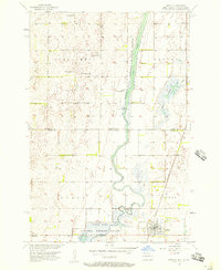 1956 Hecla1957 Print · USGSThe James River valley at the North Dakota and South Dakota border is shown here in the mid-1950s as a balance of rail-side town life and managed wetlands. Researchers can locate the Hecla townsite, the Bell Sch, and the Chicago and Northwestern rail line.
 - 1956 Map of Hecla NE, 1957 Print
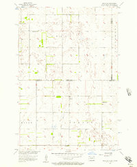 1956 Hecla NE1957 Print · USGSThe Dakota state line in the mid-1950s reveals a sprawling agricultural landscape defined by its rural school districts and township boundaries. Genealogists can trace family homesteads near landmarks like Eaton Sch No 2, Tiry Sch, and the Flowing Well.3 unique versions available
 - 1985 Map of Elm River
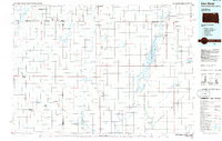 1985 Elm River1985 Print · USGSSpanning the state line during the mid-eighties, this area shows a landscape of river-fed reservoirs and agricultural colonies. Genealogists and historians can locate communal settlements like Spring Creek Colony and rail stops along the Burlington Northern Railroad or the Chicago and North Western Railroad.2 unique versions available
 - 2011 Map of Hecla NE, 2011 Print
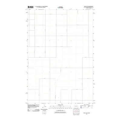 2011 Hecla NE2011 Print · USGSPortage Township at the turn of the twenty-first century shows a landscape entirely defined by its agricultural grid along the state line. Researchers can trace the drainage patterns of the Portage Detroit Ditch and the precise section lines of 100th St SE and 408th Ave.
 - 2011 Map of Hecla, 2011 Print
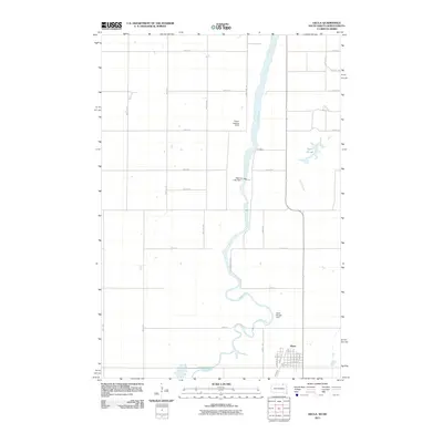 2011 Hecla2011 Print · USGSThe eastern South Dakota plains and the town of Hecla are shown here as they appeared in the early 2000s. Researchers can trace the local street grid from Main St to Depot St and locate landmarks like Dakota Lake Dam and the Vistos Landing Strip.
 - 2012 Map of Hecla SE, 2012 Print
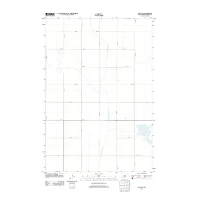 2012 Hecla SE2012 Print · USGSThe rural grid of Brown County is laid out in precise detail during this 2012 survey of South Dakota's northern plains. Researchers and genealogists can pinpoint the exact location of the Detroit Cem and trace the paths of water management projects like the Crow Creek Drainage Ditch.
 - 2012 Map of Hecla, 2012 Print
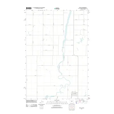 2012 Hecla2012 Print · USGSHecla and the surrounding prairie at the turn of the decade show a landscape tied to the waters of the James River. Researchers can trace local history through the town street grid at Depot St or the rural reaches of Hyatt Slough and Dry Run.
 - 2012 Map of Houghton, 2012 Print
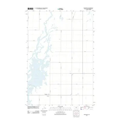 2012 Houghton2012 Print · USGSHoughton and the surrounding James River valley are captured here during the early twenty-first century. Genealogists and local historians can trace the town's street plan on Oak St or locate the sprawling waters of Mud Lake Reservoir and Columbia Road Reservoir.
 - 2014 Map of Hecla NE, 2014 Print
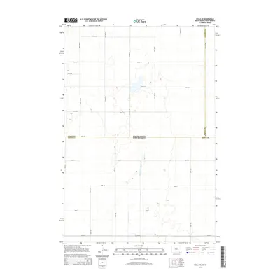 2014 Hecla NE2014 Print · USGSThe northern plains at the Dakota border appear as a vast grid of section-line roads and prairie wetlands in this mid-2010s survey. Researchers can trace the path of the Portage Detroit Ditch as it crosses from Dickey Co into Brown Co.
 - 2015 Map of Hecla SE, 2015 Print
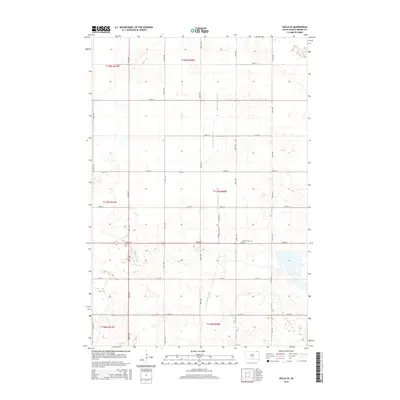 2015 Hecla SE2015 Print · USGSAgricultural Brown County is captured here in the mid-2010s, showcasing a landscape of section-line roads and prairie water management. Genealogists and local historians can locate the Detroit Cem and trace the paths of the Crow Cr Drainage Ditch and Portage Detroit Ditch.
 - 2015 Map of Houghton, 2015 Print
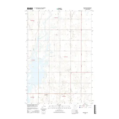 2015 Houghton2015 Print · USGSHoughton and the northern James River Valley are captured here in the mid-2010s, showing a landscape defined by prairie agriculture and river hydrology. Local researchers can trace the roads surrounding Houghton and follow the contours of the James River and Columbia Road Reservoir.
 - 2015 Map of Hecla, 2015 Print
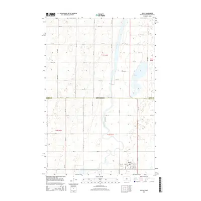 2015 Hecla2015 Print · USGSThe borderlands of Brown County and Dickey County come alive in this modern survey of the plains. Genealogists and local historians can trace the streets of Hecla or follow the winding path of the James River past Hyatt Slough and the town PO.
 - 2017 Map of Hecla, 2017 Print
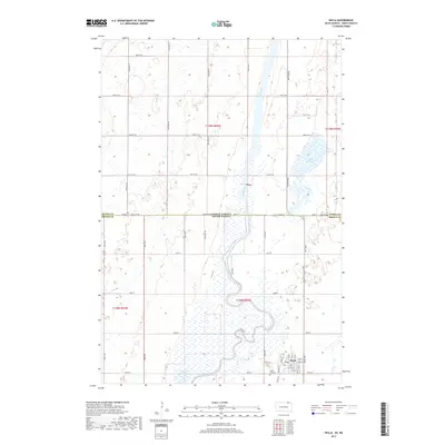 2017 Hecla2017 Print · USGSHecla and the surrounding plains sit at the South Dakota and North Dakota border in this recent survey. Researchers can trace the town’s residential grid near the Hecla City Cem or follow the winding James River as it passes through Hyatt Slough.
 - 2017 Map of Hecla SE, 2017 Print
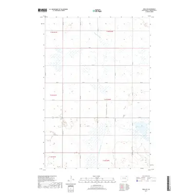 2017 Hecla SE2017 Print · USGSBrown County’s rural townships are documented in this 2017 survey, showing the enduring agricultural layout of the South Dakota prairie. Genealogists can locate the Detroit Cem and the settlement of Detroit, or trace drainage features like the Portage Detroit Ditch.
 - 2017 Map of Houghton, 2017 Print
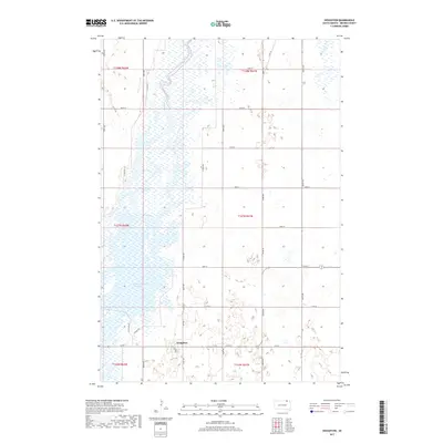 2017 Houghton2017 Print · USGSThe northern South Dakota plains come alive in this 2017 survey of the James River valley. Genealogists and researchers can trace the roads around Houghton or explore the wetland reaches of the Columbia Road Reservoir.
 - 2018 Map of Hecla NE, 2018 Print
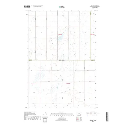 2018 Hecla NE2018 Print · USGSThe borderlands of the Dakotas appear here in the early twenty-first century, showing a landscape defined by industrial-scale drainage and section-line roads. Trace the path of the Portage Detroit Ditch and the exact path of 100th St State Line Rd.
 - 2020 Map of Hecla NE, 2020 Print
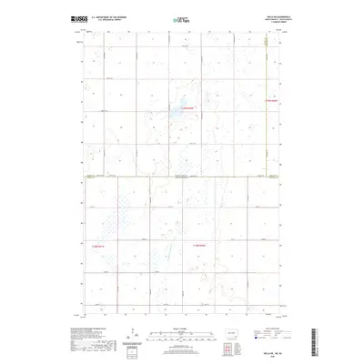 2020 Hecla NE2020 Print · USGSThe North Dakota and South Dakota borderlands are captured here in the early twenty-first century, showing a landscape defined by industrial-scale agriculture and water management. Researchers can trace the path of Portage Detroit Ditch and the intersection of Dickey, Sargent, and Brown counties.
 - 2021 Map of Houghton, 2021 Print
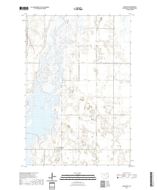 2021 Houghton2021 Print · USGSBrown County, South Dakota, is captured here in the early 2020s, showcasing the prairie landscape along the James River. Researchers can trace local landmarks like Houghton, the Columbia Road Reservoir, and the rail-aligned Railway St.
 - 2021 Map of Hecla, 2021 Print
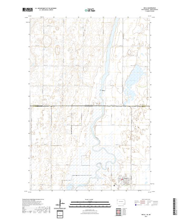 2021 Hecla2021 Print · USGSThe prairie borderland near the South Dakota line comes into focus in this recent survey of the James River valley. Genealogists can locate family sites in Hecla or the Hecla City Cem, while tracking the river's path past Hyatt Slough.
Showing maps 1-25 of 27
Top cities near Hecla Township
- Hecla historical maps
- Clement Township historical maps
- Claremont historical maps
- Ludden historical maps
Top neighborhoods of Hecla Township
Frequently asked questions
- What are the different types of historical maps available for Hecla Township?
- What is the oldest map of Hecla Township?
- Where can I purchase historical maps of Hecla Township for my home or office?
- Where can I download high-res historical maps of Hecla Township?
- Are there historical topographic maps available for Hecla Township?
- Is there historical aerial imagery available for Hecla Township?
- Where are historical maps of Hecla Township sourced from?