Old Maps of South Detroit Township, South Dakota for Academic Research
Study the evolution of South Detroit Township with 28 high-resolution historic maps. Whether you're teaching, researching, or modeling changes in land use, these maps provide essential visual documentation of urban, environmental, and geographic change.
- Analyze long-term change: Track patterns in development, transportation, and natural features.
- Ideal for environmental or urban studies: Support academic projects with primary historical map data.
- Use in the classroom or lab: Educators and researchers rely on these maps to bring historical context to life.
These maps are a powerful tool for teaching, research, and visualizing how South Detroit Township has changed over the decades.
South Detroit Township, SD maps
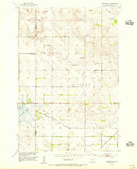
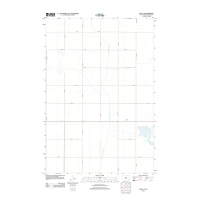
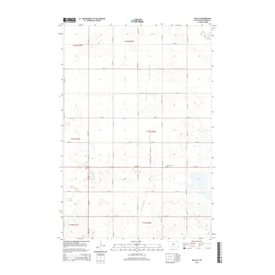
(28)- 1894 Map of Hecla
 1894 Hecla1894 Print · USGSThe northern Dakota plains are captured here in the 1890s as the rail and river determined the pulse of new settlements. Genealogists and historians can trace the early township grids and rail stops like Hecla, Houghton, and the frontier hamlet of Detroit.4 unique versions available
 - 1896 Map of Columbia
 1896 Columbia1896 Print · USGSSettlement along the upper James River valley flourished in the 1890s as railroads expanded through the Dakota Territory. Trace the rail-fed growth of Columbia and Hecla alongside the waters of Sand Lake and Lake Columbia.3 unique versions available
 - 1953 Map of Hecla SE, 1955 Print
 1953 Hecla SE1955 Print · USGSBrown County's rural prairie landscape is captured here in the early fifties, a time when drainage ditches and artesian wells defined local agriculture. Researchers can locate the Detroit Cem, the Landing Field, and several country schools like Heipemann Sch.2 unique versions available
 - 1953 Map of Newark SW, 1955 Print
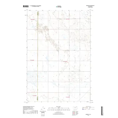
 1953 Newark SW1955 Print · USGSThe borderlands of Marshall and Brown Counties are captured here in the mid-1950s, showing a landscape shaped by water management and rail. Researchers can locate the Great Northern tracks, the rural School No 3, and hydrology like Flowing Well.
 - 1953 Map of Milbank, 1958 Print
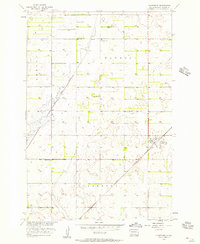
 1953 Milbank1958 Print · USGSThe tri-state border region of South Dakota, North Dakota, and Minnesota is shown here during the early fifties, a landscape defined by glacial lakes and the Sisseton Indian Reservation. Researchers can trace the legacy of the western railroads, locating old stops along the Great Northern and settlements like Milbank, Webster, and Sisseton.3 unique versions available
 - 1954 Map of Aberdeen, 1964 Print
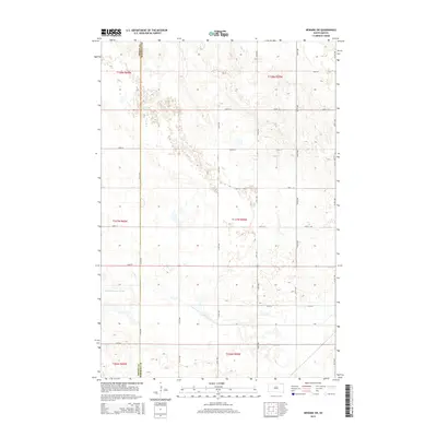
 1954 Aberdeen1964 Print · USGSNortheastern South Dakota in the mid-fifties remains a world of rail-dependent prairie towns and sweeping waterfowl refuges. Genealogists can trace family roots through settlements like Eureka and Ipswich or locate rural landmarks near Richmond Lake.2 unique versions available
 - 1956 Map of Aberdeen
 1956 Aberdeen1956 Print · USGSUpper South Dakota during the mid-fifties remains a landscape of rail-connected farming towns and expansive glacial lake basins. Genealogists and historians can trace the paths of the Minneapolis and St Louis railroad through Gettysburg or locate vanished stops near Elm Lake and Richmond Lake.
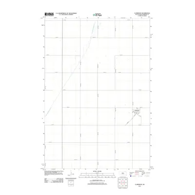
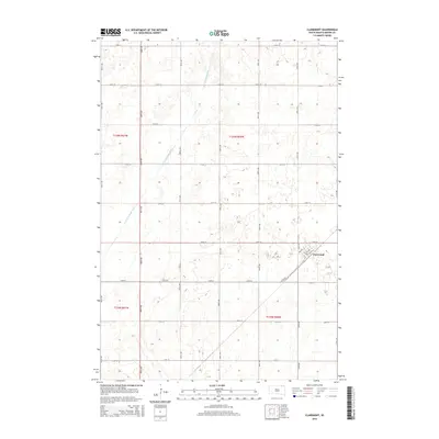
 - 1956 Map of Claremont, 1957 Print
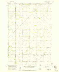
 1956 Claremont1957 Print · USGSClaremont and its surrounding townships are captured in the mid-1950s as a thriving rail-side agricultural community. Genealogists and local historians can locate early rural landmarks like Laurel Sch, Barnes Sch, and the tracks of the Great Northern.2 unique versions available
 - 1958 Map of Milbank
 1958 Milbank1958 Print · USGSThe northern Great Plains in the late fifties show a landscape of glacial lakes and reservation lands shaped by the Great Northern railroad. Genealogists and local historians can trace the grid of settlements from Britton to Milbank and locate landmarks like Enemy Swim Lake and the Sisseton Indian Reservation.
 - 1958 Map of Amherst, 1959 Print
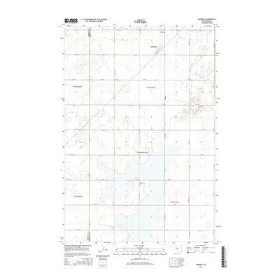
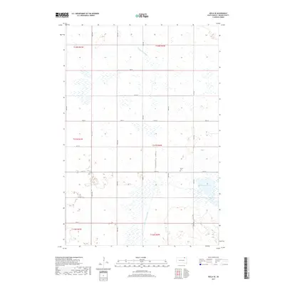
 1958 Amherst1959 Print · USGSThe Marshall County prairie in the late fifties was a landscape of rail-centered trade and small township school districts. Genealogists and historians can trace local family landmarks like Amherst Cem, School No 6, and the Great Northern rail line.
 - 1979 Map of Sisseton, 1980 Print
 1979 Sisseton1980 Print · USGSNortheastern South Dakota and the North Dakota borderlands appear here in the late seventies, centered on the high glacial plateau. Genealogists and historians can trace the Sisseton Indian Reservation and rail-stop towns like Britton and Lake City.
 - 1985 Map of Elm River
 1985 Elm River1985 Print · USGSSpanning the state line during the mid-eighties, this area shows a landscape of river-fed reservoirs and agricultural colonies. Genealogists and historians can locate communal settlements like Spring Creek Colony and rail stops along the Burlington Northern Railroad or the Chicago and North Western Railroad.2 unique versions available
 - 2012 Map of Amherst, 2012 Print
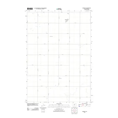 2012 Amherst2012 Print · USGSCovers South Detroit Township, including Newport Hutterite Colony, Amherst, and other nearby areas
 - 2012 Map of Newark SW, 2012 Print
 2012 Newark SW2012 Print · USGSCovers South Detroit Township, including Portage Township, Sunset Hutterite Colony, and other nearby areas
 - 2012 Map of Hecla SE, 2012 Print
 2012 Hecla SE2012 Print · USGSCovers South Detroit Township, including Hecla Township, Portage Township, and other nearby areas
 - 2012 Map of Claremont, 2012 Print
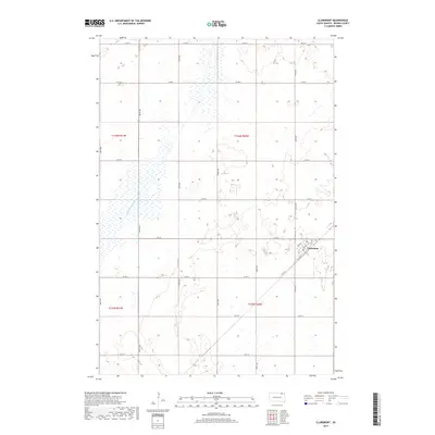
 2012 Claremont2012 Print · USGSCovers South Detroit Township, including Claremont, Claremont Township, and other nearby areas
 - 2015 Map of Newark SW, 2015 Print
 2015 Newark SW2015 Print · USGSCovers South Detroit Township, including Portage Township, Sunset Hutterite Colony, and other nearby areas
 - 2015 Map of Amherst, 2015 Print
 2015 Amherst2015 Print · USGSCovers South Detroit Township, including Newport Hutterite Colony, Amherst, and other nearby areas
 - 2015 Map of Hecla SE, 2015 Print
 2015 Hecla SE2015 Print · USGSCovers South Detroit Township, including Hecla Township, Portage Township, and other nearby areas
 - 2015 Map of Claremont, 2015 Print
 2015 Claremont2015 Print · USGSCovers South Detroit Township, including Claremont, Claremont Township, and other nearby areas
 - 2017 Map of Claremont, 2017 Print
 2017 Claremont2017 Print · USGSCovers South Detroit Township, including Claremont, Claremont Township, and other nearby areas
 - 2017 Map of Hecla SE, 2017 Print
 2017 Hecla SE2017 Print · USGSCovers South Detroit Township, including Hecla Township, Portage Township, and other nearby areas
 - 2017 Map of Newark SW, 2017 Print
 2017 Newark SW2017 Print · USGSCovers South Detroit Township, including Portage Township, Sunset Hutterite Colony, and other nearby areas
 - 2017 Map of Amherst, 2017 Print
 2017 Amherst2017 Print · USGSCovers South Detroit Township, including Newport Hutterite Colony, Amherst, and other nearby areas
 - 2021 Map of Amherst, 2021 Print
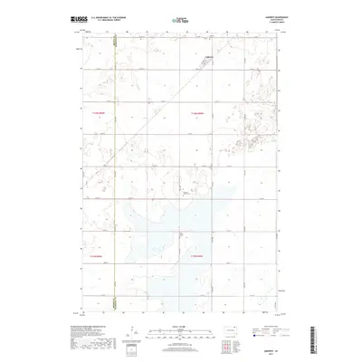
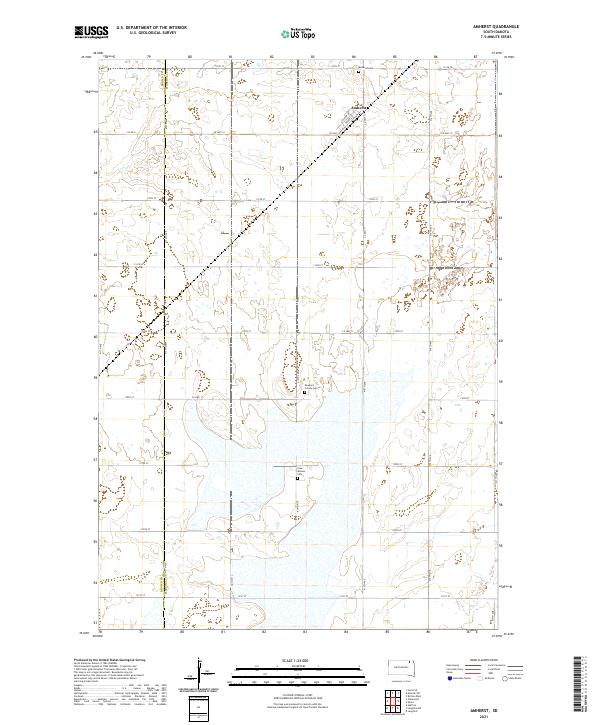 2021 Amherst2021 Print · USGSThe community of Amherst is the focal point of this modern survey of the northeastern South Dakota plains. Genealogists and local historians can trace legacy sites like the Newport Colony Cem and Free Mission Cem among the wetlands.
Showing maps 1-25 of 28
Top cities near South Detroit Township
- Hecla historical maps
- Langford historical maps
- Claremont historical maps
- Pierpont historical maps
- Putney historical maps
- Brampton Township historical maps
Frequently asked questions
- What are the different types of historical maps available for South Detroit Township?
- What is the oldest map of South Detroit Township?
- Where can I purchase historical maps of South Detroit Township for my home or office?
- Where can I download high-res historical maps of South Detroit Township?
- Are there historical topographic maps available for South Detroit Township?
- Is there historical aerial imagery available for South Detroit Township?
- Where are historical maps of South Detroit Township sourced from?