Old Maps of Highland Township, South Dakota for Hiking & Exploration
Hike through history with 25 historic maps of Highland Township. Explore old trails, ghost towns, and forgotten backroads — perfect for outdoor adventurers and local explorers.
- Rediscover forgotten places: Map out old mining camps, roads, and footpaths that no longer exist on modern maps.
- Layer with modern tools: Combine with LiDAR or satellite views to plan hikes through historical terrain.
- Made for exploration: Popular among hikers, overlanders, and local history lovers.
Use these maps to find adventure and explore the hidden past of Highland Township.
Highland Township, SD maps
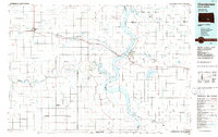
(25)- 1955 Map of Mitchell, 1973 Print
 1955 Mitchell1973 Print · USGSThe Missouri River valley undergoes a massive transformation in the mid-1950s as the Fort Randall Dam creates Lake Francis Case. You can trace the rail lines of the Chicago Milwaukee St Paul and Pacific through Mitchell or locate local landmarks like Butler Town Hall.2 unique versions available
 - 1959 Map of Mitchell
 1959 Mitchell1959 Print · USGSSouth Dakota’s river and rail corridors come alive in the late fifties as the Missouri River valley undergoes dramatic change. Genealogists and historians can trace family roots through numerous small towns and schools such as Academy, Stickney, and Gregory.2 unique versions available
 - 1979 Map of Bijou Hills NE, 1980 Print
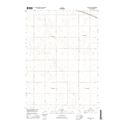
 1979 Bijou Hills NE1980 Print · USGSBrule County's rural landscape is captured here during the late 1970s, showing a transition in the region's agricultural and social structure. Genealogists can locate specific landmarks like Richland Sch, Smith Sch, and the small community of Richland.
 - 1979 Map of Eagle, 1980 Print
 1979 Eagle1980 Print · USGSBrule County's upland prairies were still a landscape of tight-knit rural townships and homestead legacies in the late seventies. Researchers can trace family ties at the Bohemian Cem, Blessed Trinity Ch, and the local settlement of Eagle.
 - 1979 Map of Kimball South, 1980 Print
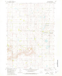
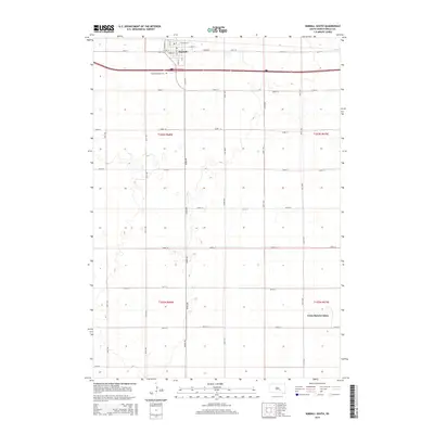
 1979 Kimball South1980 Print · USGSThe agricultural plains of Brule County are captured here in the late seventies, centered on the hub of Kimball. Researchers can trace the path of the Chicago Milwaukee St Paul and Pacific railroad and locate local landmarks like St Margarets Cem.
 - 1980 Map of Snow Lake
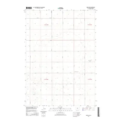
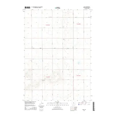
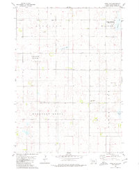 1980 Snow Lake1980 Print · USGSBrule County prairie life in the late seventies is marked by scattered schoolhouses and small country churches. Genealogists can trace local landmarks like Highland Sch, Gabrielson Cem, and the waters of Freeland Lake.
 - 1986 Map of Chamberlain
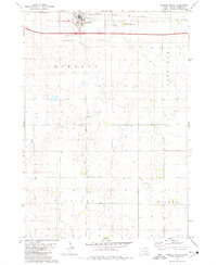
 1986 Chamberlain1986 Print · USGSCentral South Dakota during the mid-eighties shows a landscape shaped by the Missouri River and the rise of Interstate 90. Researchers can trace the development of river towns like Chamberlain and Oacoma or locate remote landmarks like Bijou Hills and Hamill.2 unique versions available
 - 1986 Map of Mitchell
 1986 Mitchell1986 Print · USGSMitchell and the surrounding prairie towns are documented in the mid-1980s as the regional rail and agricultural network matured. Genealogists can locate specific sites like the State Training Sch, Aurora Center, and the Cedar Grove Colony.2 unique versions available
 - 1990 Map of Mitchell, 1991 Print
 1990 Mitchell1991 Print · USGSThe Missouri River and the surrounding South Dakota plains are captured here in the early nineties, showing a landscape shaped by water and wire. Genealogists and historians can trace the gridded townships from Mitchell to the Bijou Hills, locating sites like the Platte Colony and Academy.
 - 2012 Map of Snow Lake, 2012 Print
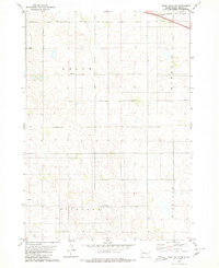
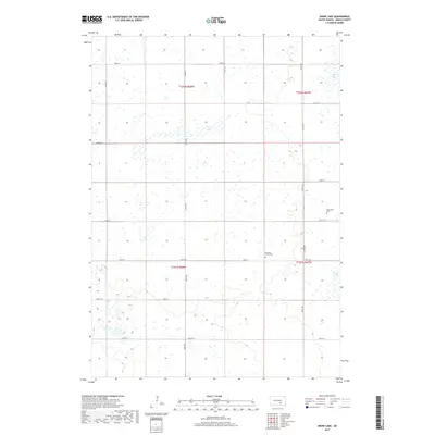
 2012 Snow Lake2012 Print · USGSCovers Highland Township, including Torrey Lake Township, Wilbur Township, and other nearby areas
 - 2012 Map of Kimball South, 2012 Print
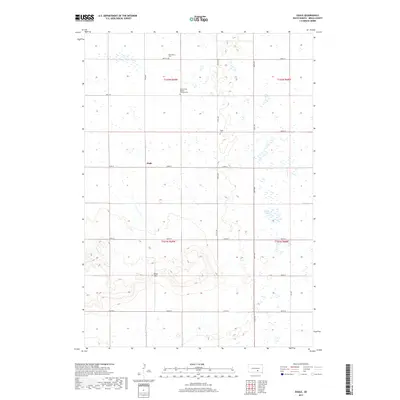
 2012 Kimball South2012 Print · USGSCovers Highland Township, including Kimball, Wilbur Township, and other nearby areas
 - 2012 Map of Bijou Hills NE, 2012 Print
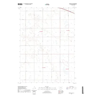
 2012 Bijou Hills NE2012 Print · USGSCovers Highland Township, including Smith Township, Kimball Township, and other nearby areas
 - 2012 Map of Eagle, 2012 Print
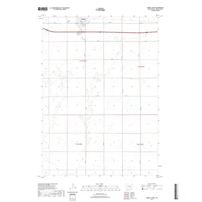
 2012 Eagle2012 Print · USGSCovers Highland Township, including Eagle, Pleasant Grove Township, and other nearby areas
 - 2015 Map of Kimball South, 2015 Print
 2015 Kimball South2015 Print · USGSCovers Highland Township, including Kimball, Wilbur Township, and other nearby areas
 - 2015 Map of Snow Lake, 2015 Print
 2015 Snow Lake2015 Print · USGSCovers Highland Township, including Torrey Lake Township, Wilbur Township, and other nearby areas
 - 2015 Map of Bijou Hills NE, 2015 Print
 2015 Bijou Hills NE2015 Print · USGSCovers Highland Township, including Smith Township, Kimball Township, and other nearby areas
 - 2015 Map of Eagle, 2015 Print
 2015 Eagle2015 Print · USGSCovers Highland Township, including Eagle, Pleasant Grove Township, and other nearby areas
 - 2017 Map of Snow Lake, 2017 Print
 2017 Snow Lake2017 Print · USGSCovers Highland Township, including Torrey Lake Township, Wilbur Township, and other nearby areas
 - 2017 Map of Eagle, 2017 Print
 2017 Eagle2017 Print · USGSCovers Highland Township, including Eagle, Pleasant Grove Township, and other nearby areas
 - 2017 Map of Bijou Hills NE, 2017 Print
 2017 Bijou Hills NE2017 Print · USGSCovers Highland Township, including Smith Township, Kimball Township, and other nearby areas
 - 2017 Map of Kimball South, 2017 Print
 2017 Kimball South2017 Print · USGSCovers Highland Township, including Kimball, Wilbur Township, and other nearby areas
 - 2021 Map of Bijou Hills NE, 2021 Print
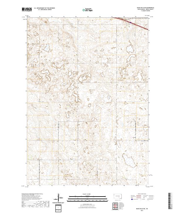 2021 Bijou Hills NE2021 Print · USGSBrule County in the early 2020s remains a landscape of sprawling agricultural sections and precise township boundaries. Genealogists and land researchers can trace property locations along the grid of 251st St and 358th Ave within T103n R69w.
 - 2021 Map of Eagle, 2021 Print
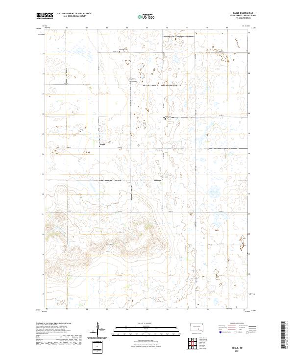 2021 Eagle2021 Print · USGSBrule County's rolling prairie and the prominent Bijou Hills are captured here in the early twenty-first century. Genealogists can locate several local burial sites including Bohemian Cem and the Holy Trinity Bendon Catholic Cem.
 - 2021 Map of Kimball South, 2021 Print
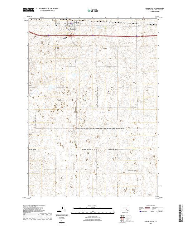 2021 Kimball South2021 Print · USGSBrule County in the early twenty-first century remains defined by its agricultural heritage and the organized growth of its rural townships. Genealogists and local historians can trace the foundations of Kimball through its central PO and the records at Saint Margarets Cem.
 - 2021 Map of Snow Lake, 2021 Print
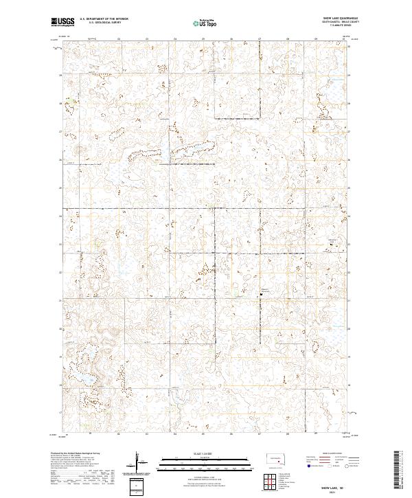 2021 Snow Lake2021 Print · USGSBrule County's prairie wetlands and township grids are documented here in the early twenty-first century. Genealogists and local historians can locate legacy burial sites like Pleasant Grove Cem and Gabrielson Cem near the shores of Snow Lake.
End of results
Showing maps 1-25 of 25
Top cities near Highland Township
Frequently asked questions
- What are the different types of historical maps available for Highland Township?
- What is the oldest map of Highland Township?
- Where can I purchase historical maps of Highland Township for my home or office?
- Where can I download high-res historical maps of Highland Township?
- Are there historical topographic maps available for Highland Township?
- Is there historical aerial imagery available for Highland Township?
- Where are historical maps of Highland Township sourced from?