
1979 Map of Bijou Hills NE
USGS Topo · Published 1980About this map
The agrarian landscape of Brule County is defined by a sparse network of section roads and small-scale educational centers in this late-1970s survey. Civil divisions such as Smith and Richland divide the territory, which is marked by the presence of localized community landmarks like Smith Sch and Richland Sch. The small settlement of Richland serves as a focal point in the southern portion of the quadrangle. In the far northeast corner, the industrial influence of the Chicago Milwaukee St Paul and Pacific railroad clips the terrain, providing a vital transportation link for the region's agricultural output. The land itself is characterized by the upland terrain of Kimball and Highland, where the mapping of individual fence and field lines offers researchers an exceptionally detailed view of historic land use and property boundaries.
Find a feature on this map
9 named features on this map. Tap any name to fly to it.
Don’t see what you’re looking for? This feature index may not catch every label — zoom into the map to look around manually.
Map Details
Editions of this 1979 Bijou Hills NE Map
This is the sole edition of this map. No revisions or reprints were ever made.
Other maps of this area

1941 · Pukwana
USGS Topo · 1:62,500

1941 · Kimball North
USGS Topo · 1:62,500

1951 · Pukwana
USGS Topo · 1:62,500

1951 · Kimball North
USGS Topo · 1:62,500

1955 · Mitchell
USGS Topo · 1:250,000

1959 · Mitchell
USGS Topo · 1:250,000

1979 · Eagle
USGS Topo · 1:24,000
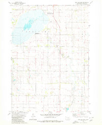
1979 · Red Lake East
USGS Topo · 1:24,000
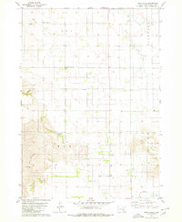
1979 · Bijou Hills
USGS Topo · 1:24,000

1979 · Kimball South
USGS Topo · 1:24,000