
1979 Map of Eagle
USGS Topo · Published 1980About this map
The high prairie of Brule County is defined here by the prominent Bijou Hills and the surrounding agricultural townships of Richland, Highland, and Pleasant Grove. During this era of the late 1970s, the landscape is a grid of section lines and small rural hubs like the settlement of Eagle, which sits near the Eagle Cem and the Maresh Sch. The presence of the Bohemian Cem and Blessed Trinity Ch further north points to the ethnic and religious patterns of the early homesteading families who settled this corner of South Dakota.
Find a feature on this map
16 named features on this map. Tap any name to fly to it.
Don’t see what you’re looking for? This feature index may not catch every label — zoom into the map to look around manually.
Map Details
Editions of this 1979 Eagle Map
This is the sole edition of this map. No revisions or reprints were ever made.
Other maps of this area

1955 · Mitchell
USGS Topo · 1:250,000

1959 · Mitchell
USGS Topo · 1:250,000

1971 · Lucas NW
USGS Topo · 1:24,000

1971 · Academy
USGS Topo · 1:24,000

1979 · Bijou Hills NE
USGS Topo · 1:24,000
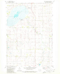
1979 · Red Lake East
USGS Topo · 1:24,000
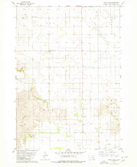
1979 · Bijou Hills
USGS Topo · 1:24,000

1979 · Lake George
USGS Topo · 1:24,000

1979 · Kimball South
USGS Topo · 1:24,000
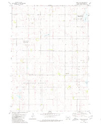
1980 · Snow Lake
USGS Topo · 1:24,000