Old Maps of Arlington Township, South Dakota for Academic Research
Study the evolution of Arlington Township with 23 high-resolution historic maps. Whether you're teaching, researching, or modeling changes in land use, these maps provide essential visual documentation of urban, environmental, and geographic change.
- Analyze long-term change: Track patterns in development, transportation, and natural features.
- Ideal for environmental or urban studies: Support academic projects with primary historical map data.
- Use in the classroom or lab: Educators and researchers rely on these maps to bring historical context to life.
These maps are a powerful tool for teaching, research, and visualizing how Arlington Township has changed over the decades.
Arlington Township, SD maps
(23)- 1953 Map of Huron, 1959 Print
 1953 Huron1959 Print · USGSCentral South Dakota comes alive in the mid-1950s as a thriving rail and agricultural corridor between the Missouri and James Rivers. Trace the legacy of family farms and prairie towns like Huron, Faulkton, and Wessington Springs along the historic Chicago and North Western rail lines.3 unique versions available
 - 1954 Map of Huron, 1977 Print
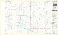
 1954 Huron1977 Print · USGSCentral South Dakota was a landscape of grain elevators and river bends during the mid-fifties. Genealogists and historians can trace the development of the James River valley through railroad towns like Redfield and the sprawling Crow Creek Indian Reservation.
 - 1966 Map of Big Bend Dam NE, 1967 Print
 1966 Big Bend Dam NE1967 Print · USGSThe Missouri River Basin in the mid-1960s reveals a sparse ranching landscape divided by the Crow Creek Indian Reservation Boundary. Genealogists and researchers can locate landmarks like the Knippling Ranch, Como, and Curtis Sch among the forks of Elm Creek.
 - 1966 Map of Big Bend Dam SE, 1967 Print
 1966 Big Bend Dam SE1967 Print · USGSBuffalo County during the mid-sixties shows a landscape shaped by the Missouri River Basin development. Researchers can trace the tribal boundaries of the Crow Creek Indian Reservation and locate landmarks like Lees Corner and Lake Francis Case.
 - 1973 Map of Big Bend Dam 4 NW, 1976 Print
 1973 Big Bend Dam 4 NW1976 Print · USGSBuffalo County and Hand County are shown in the 1970s, a period when the prairie landscape remained largely agricultural and sparsely settled. Genealogists and local historians can trace the Old Indian Treaty Boundary and locate rural landmarks like Prairie Center Sch and Elm Creek.2 unique versions available
 - 1973 Map of Big Bend Dam 4 SW, 1976 Print
 1973 Big Bend Dam 4 SW1976 Print · USGSBuffalo County prairie lands are documented in the early 1970s, showcasing the open rangeland along the Crow Creek Indian Reservation Boundary. Researchers can trace the path of the Old Indian Treaty Boundary and the natural courses of Elm Creek and Crow Creek.2 unique versions available
 - 1985 Map of Big Bend Dam, 1986 Print
 1985 Big Bend Dam1986 Print · USGSThe Missouri River landscape of the mid-1980s is defined by the massive Big Bend Dam and the sprawling waters of Lake Sharpe. Genealogists and historians can trace reservation boundaries and rural outposts like Fort Thompson, Stephan, and the Miller Dale Colony.2 unique versions available
 - 2012 Map of Big Bend Dam SE, 2012 Print
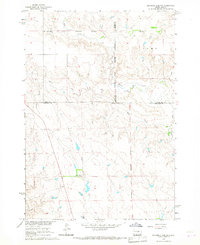
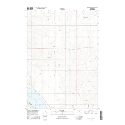
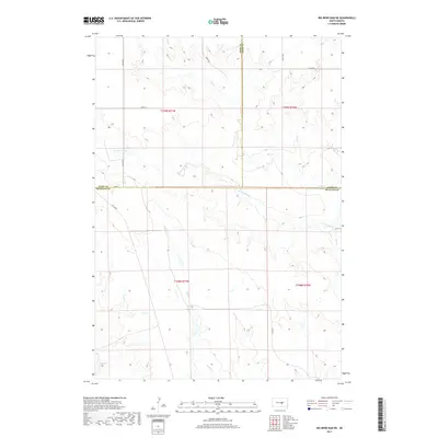
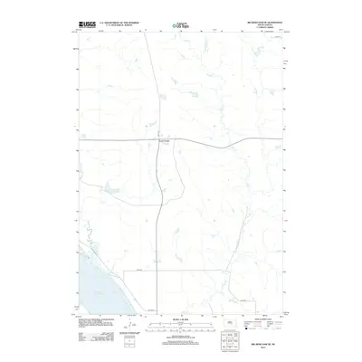 2012 Big Bend Dam SE2012 Print · USGSCovers Arlington Township, including Grant West Township, Wilson Township, and other nearby areas
 - 2012 Map of North of Shelby, 2012 Print
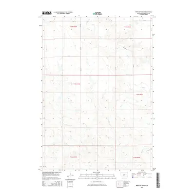
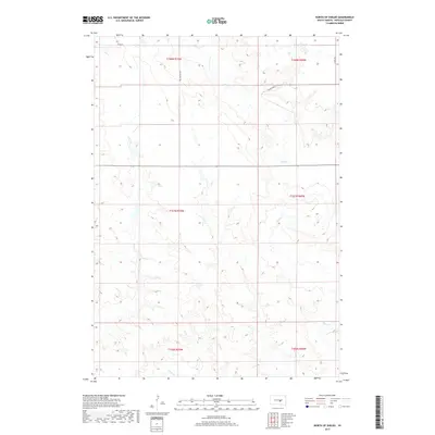
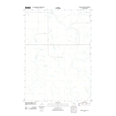 2012 North of Shelby2012 Print · USGSCovers Arlington Township, including Grant West Township, Wilson Township, and other nearby areas
 - 2012 Map of Big Bend Dam NE, 2012 Print
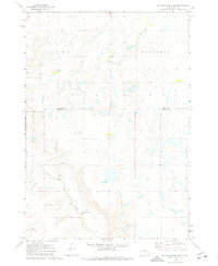
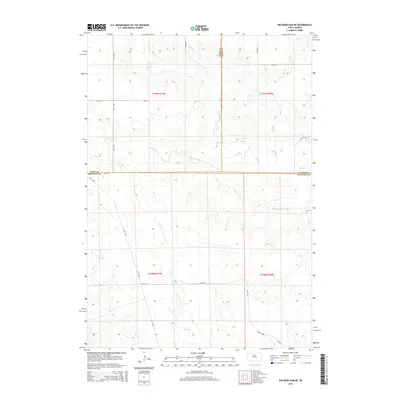
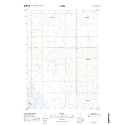
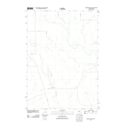 2012 Big Bend Dam NE2012 Print · USGSCovers Arlington Township, including Fort Thompson District, Grey Hill East Township, and other nearby areas
 - 2012 Map of Prairie Center School, 2012 Print
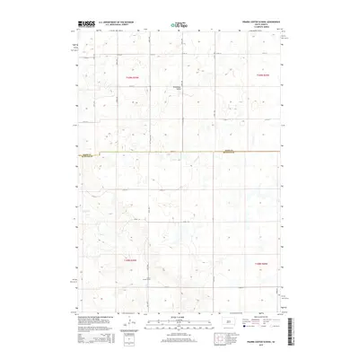
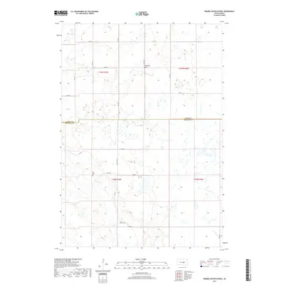
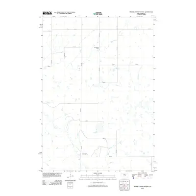 2012 Prairie Center School2012 Print · USGSCovers Arlington Township, including Grant East Township, Buffalo County, and other nearby areas
 - 2015 Map of Prairie Center School, 2015 Print
 2015 Prairie Center School2015 Print · USGSCovers Arlington Township, including Grant East Township, Buffalo County, and other nearby areas
 - 2015 Map of North of Shelby, 2015 Print
 2015 North of Shelby2015 Print · USGSCovers Arlington Township, including Grant West Township, Wilson Township, and other nearby areas
 - 2015 Map of Big Bend Dam SE, 2015 Print
 2015 Big Bend Dam SE2015 Print · USGSCovers Arlington Township, including Grant West Township, Wilson Township, and other nearby areas
 - 2015 Map of Big Bend Dam NE, 2015 Print
 2015 Big Bend Dam NE2015 Print · USGSCovers Arlington Township, including Fort Thompson District, Grey Hill East Township, and other nearby areas
 - 2017 Map of Big Bend Dam NE, 2017 Print
 2017 Big Bend Dam NE2017 Print · USGSCovers Arlington Township, including Fort Thompson District, Grey Hill East Township, and other nearby areas
 - 2017 Map of North of Shelby, 2017 Print
 2017 North of Shelby2017 Print · USGSCovers Arlington Township, including Grant West Township, Wilson Township, and other nearby areas
 - 2017 Map of Prairie Center School, 2017 Print
 2017 Prairie Center School2017 Print · USGSCovers Arlington Township, including Grant East Township, Buffalo County, and other nearby areas
 - 2017 Map of Big Bend Dam SE, 2017 Print
 2017 Big Bend Dam SE2017 Print · USGSCovers Arlington Township, including Grant West Township, Wilson Township, and other nearby areas
 - 2021 Map of Big Bend Dam NE, 2021 Print
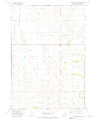
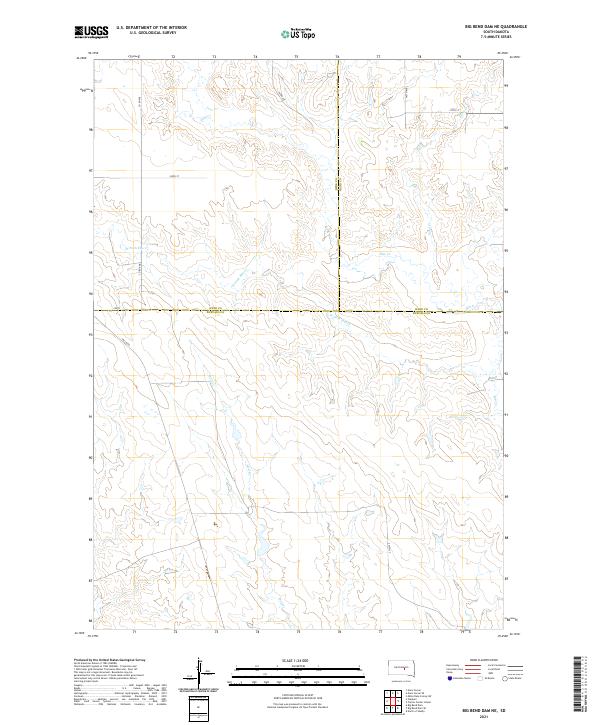 2021 Big Bend Dam NE2021 Print · USGSThe open grasslands of central South Dakota are mapped here in the early twenty-first century, where Buffalo, Hyde, and Hand counties converge. Researchers can trace the drainage patterns of Wolf Cr and W Fork Elm Cr alongside rural routes like Lees Blvd.
 - 2021 Map of North of Shelby, 2021 Print
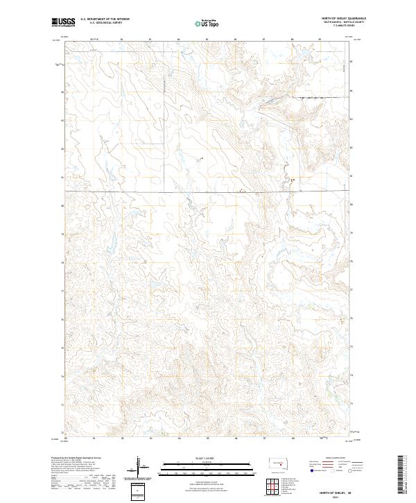 2021 North of Shelby2021 Print · USGSBuffalo County cattle country and high plains drainage are documented in this recent survey. Researchers can trace the section-line road network via Ree Heights Rd and 225th St as they cross the winding beds of Elm Cr and Crow Cr.
 - 2021 Map of Big Bend Dam SE, 2021 Print
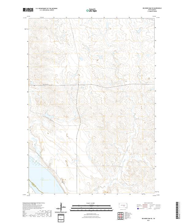 2021 Big Bend Dam SE2021 Print · USGSThe Missouri River shoreline in central South Dakota is captured here during the early 2020s. Genealogists and land researchers can trace the modern boundaries of the Crow Creek Reservation area near Lake Francis Case and Bad Nation Rd.
 - 2021 Map of Prairie Center School, 2021 Print
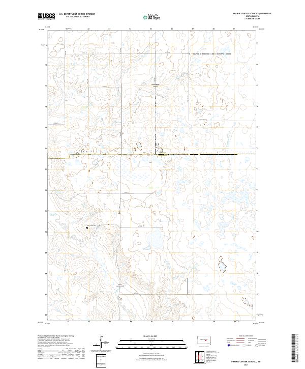 2021 Prairie Center School2021 Print · USGSBuffalo County is mapped in the modern era, showing a sparsely settled prairie landscape at the intersection of local history and rural geography. Genealogists and historians can locate Prairie Center School, the Elm Creek Cem, and the seasonal path of Elm Cr.
End of results
Showing maps 1-23 of 23
Frequently asked questions
- What are the different types of historical maps available for Arlington Township?
- What is the oldest map of Arlington Township?
- Where can I purchase historical maps of Arlington Township for my home or office?
- Where can I download high-res historical maps of Arlington Township?
- Are there historical topographic maps available for Arlington Township?
- Is there historical aerial imagery available for Arlington Township?
- Where are historical maps of Arlington Township sourced from?