Old Maps of Eden Township, South Dakota
Explore 24 old maps of Eden Township, spanning from 1953 to today. These high-resolution historic maps reveal how streets, neighborhoods, landmarks, and natural features evolved over time — perfect for genealogy, metal detecting, research, and local history exploration.
What you can do with these maps:
- See how Eden Township changed over time: Compare historical maps to modern-day views to trace roads, homesites, rail lines & more.
- View detailed metadata: Each map includes creators, publishers, year, scale, and archive source.
- Overlay maps with satellite & LiDAR: Visualize the past alongside modern tools to explore terrain & human change.
- Trusted historical sources: Maps sourced from the USGS, Library of Congress, and other archives.
- Access maps your way: View online, download high-res files, or order prints for personal or research use.
Start exploring old maps of Eden Township to uncover forgotten places, hidden landmarks, and the deep history beneath your feet.
Eden Township, SD maps
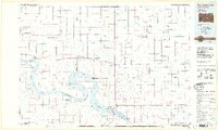
(24)- 1953 Map of Huron, 1959 Print
 1953 Huron1959 Print · USGSCentral South Dakota comes alive in the mid-1950s as a thriving rail and agricultural corridor between the Missouri and James Rivers. Trace the legacy of family farms and prairie towns like Huron, Faulkton, and Wessington Springs along the historic Chicago and North Western rail lines.3 unique versions available
 - 1954 Map of Huron, 1977 Print
 1954 Huron1977 Print · USGSCentral South Dakota was a landscape of grain elevators and river bends during the mid-fifties. Genealogists and historians can trace the development of the James River valley through railroad towns like Redfield and the sprawling Crow Creek Indian Reservation.
 - 1973 Map of Big Bend Dam 4 SE, 1976 Print
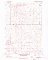
 1973 Big Bend Dam 4 SE1976 Print · USGSBuffalo County is documented here in the 1970s, showcasing the prairie townships and historical survey lines of central South Dakota. Researchers can locate the small settlements of Anderson and Gann and trace the path of the Old Indian Treaty Boundary.2 unique versions available
 - 1973 Map of Gannvalley, 1976 Print
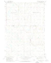
 1973 Gannvalley1976 Print · USGSThe Buffalo and Jerauld county line comes alive in the mid-1970s, showcasing the communal Spring Valley Colony and the rural reaches of Crow Creek. Local researchers can trace family lands in Eden or Elvira and locate the Spring Hill Cem.
 - 1973 Map of Big Bend Dam 4 NE, 1976 Print
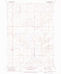
 1973 Big Bend Dam 4 NE1976 Print · USGSBuffalo and Hand counties meet on the South Dakota prairie in the early 1970s, showing a rural landscape defined by wide townships. You can trace local landmarks like Duncan Ch and the winding path of Crow Creek through Eden and Mondamin.2 unique versions available
 - 1973 Map of Mittelstedt Slough, 1976 Print
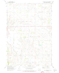
 1973 Mittelstedt Slough1976 Print · USGSThe wetlands of central South Dakota are meticulously detailed in the early 1970s, showing the intersection of Hand, Buffalo, and Jerauld counties. Researchers can trace rural landmarks like the Ebenezer Ch, the small settlement of Eden, and the National Waterfowl Production Area.
 - 1985 Map of Huron, 1986 Print
 1985 Huron1986 Print · USGSThe James River valley and the city of Huron come into focus during the mid-eighties as centers of rail and prairie commerce. Genealogists and historians can trace communal sites like Riverside Colony and established rail towns from Wolsey to Woonsocket.2 unique versions available
 - 1985 Map of Big Bend Dam, 1986 Print
 1985 Big Bend Dam1986 Print · USGSThe Missouri River landscape of the mid-1980s is defined by the massive Big Bend Dam and the sprawling waters of Lake Sharpe. Genealogists and historians can trace reservation boundaries and rural outposts like Fort Thompson, Stephan, and the Miller Dale Colony.2 unique versions available
 - 2012 Map of Mittelstedt Slough, 2012 Print
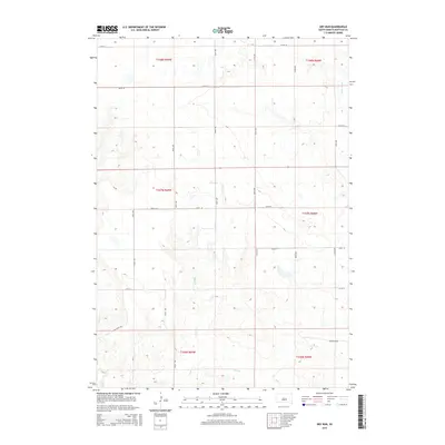
 2012 Mittelstedt Slough2012 Print · USGSCovers Eden Township, including Marlar Township, Buffalo County, and other nearby areas
 - 2012 Map of Gannvalley, 2012 Print
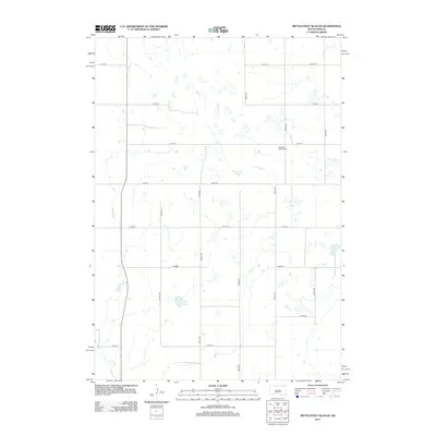
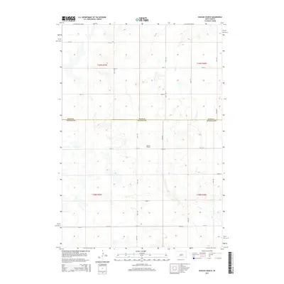
 2012 Gannvalley2012 Print · USGSCovers Eden Township, including Gann Valley, Elvira Township, and other nearby areas
 - 2012 Map of Duncan Church, 2012 Print
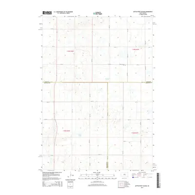
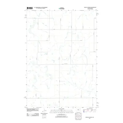 2012 Duncan Church2012 Print · USGSCovers Eden Township, including Grant East Township, Buffalo County, and other nearby areas
 - 2012 Map of Dry Run, 2012 Print
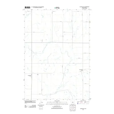
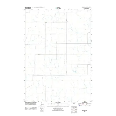 2012 Dry Run2012 Print · USGSCovers Eden Township, including Grant West Township, Elvira Township, and other nearby areas
 - 2015 Map of Duncan Church, 2015 Print
 2015 Duncan Church2015 Print · USGSCovers Eden Township, including Grant East Township, Buffalo County, and other nearby areas
 - 2015 Map of Dry Run, 2015 Print
 2015 Dry Run2015 Print · USGSCovers Eden Township, including Grant West Township, Elvira Township, and other nearby areas
 - 2015 Map of Mittelstedt Slough, 2015 Print
 2015 Mittelstedt Slough2015 Print · USGSCovers Eden Township, including Marlar Township, Buffalo County, and other nearby areas
 - 2015 Map of Gannvalley, 2015 Print
 2015 Gannvalley2015 Print · USGSCovers Eden Township, including Gann Valley, Elvira Township, and other nearby areas
 - 2017 Map of Dry Run, 2017 Print
 2017 Dry Run2017 Print · USGSCovers Eden Township, including Grant West Township, Elvira Township, and other nearby areas
 - 2017 Map of Mittelstedt Slough, 2017 Print
 2017 Mittelstedt Slough2017 Print · USGSCovers Eden Township, including Marlar Township, Buffalo County, and other nearby areas
 - 2017 Map of Gannvalley, 2017 Print
 2017 Gannvalley2017 Print · USGSCovers Eden Township, including Gann Valley, Elvira Township, and other nearby areas
 - 2017 Map of Duncan Church, 2017 Print
 2017 Duncan Church2017 Print · USGSCovers Eden Township, including Grant East Township, Buffalo County, and other nearby areas
 - 2021 Map of Mittelstedt Slough, 2021 Print
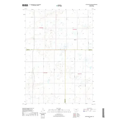
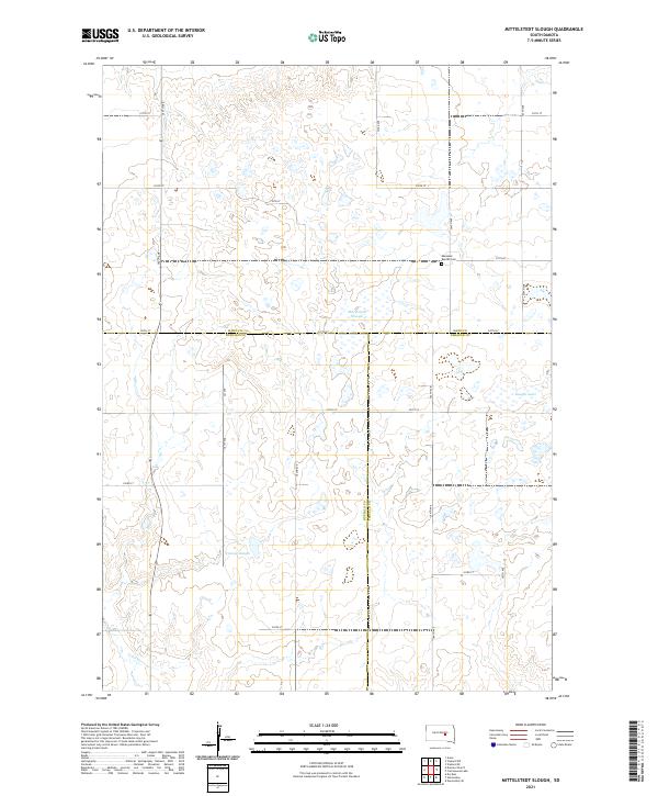 2021 Mittelstedt Slough2021 Print · USGSThe South Dakota prairie at the intersection of four counties reveals a landscape of isolated homesteads and significant glacial wetlands. Genealogists and local historians can locate Ebenezer Baptist Cem and trace the drainage of Mittelstedt Slough and Crow Cr.
 - 2021 Map of Dry Run, 2021 Print
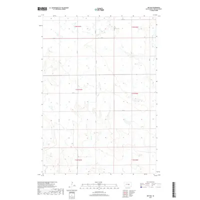
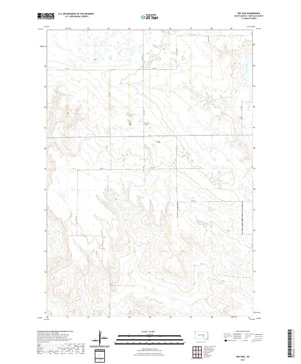 2021 Dry Run2021 Print · USGSBuffalo County prairie lands are shown here as they appeared recently, defined by the steady flow of Crow Creek and the namesake Dry Run. Geologists and local land researchers can trace the section-line road network and drainage patterns across T107N R69W and Elm Cr.
 - 2021 Map of Duncan Church, 2021 Print
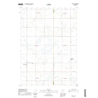
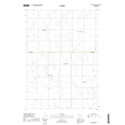
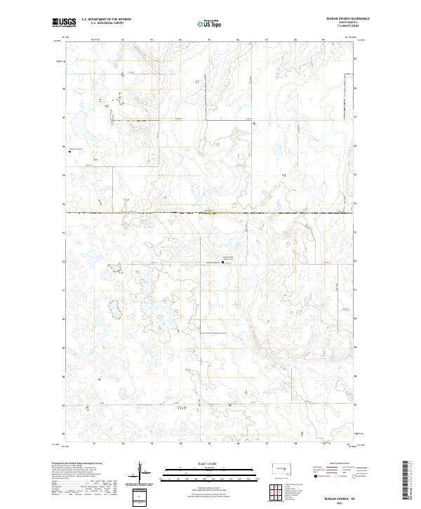 2021 Duncan Church2021 Print · USGSThe border of Buffalo and Hand counties in central South Dakota reveals a persistent prairie landscape defined by early settlement patterns. Genealogists can trace the locations of the Duncan Church, Saint Placidus Catholic Cem, and Mondamin Cem along the remote banks of Crow Cr.
 - 2021 Map of Gannvalley, 2021 Print
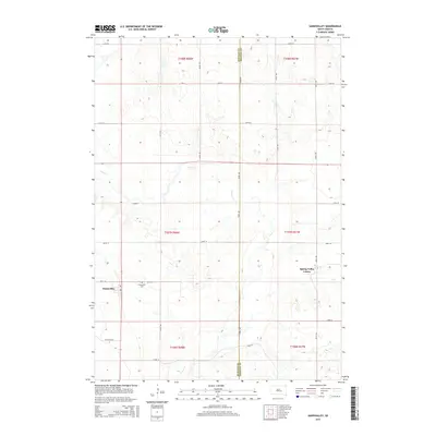
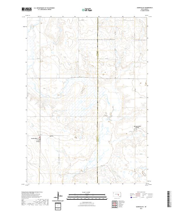 2021 Gannvalley2021 Print · USGSGannvalley and the surrounding South Dakota prairie are captured here in the early twenty-first century. Researchers can trace local history at the Buffalo County Courthouse, locate family roots at Spring Hill Cem, and explore the Spring Valley Colony.
End of results
Showing maps 1-24 of 24
Top cities near Eden Township
Frequently asked questions
- What are the different types of historical maps available for Eden Township?
- What is the oldest map of Eden Township?
- Where can I purchase historical maps of Eden Township for my home or office?
- Where can I download high-res historical maps of Eden Township?
- Are there historical topographic maps available for Eden Township?
- Is there historical aerial imagery available for Eden Township?
- Where are historical maps of Eden Township sourced from?