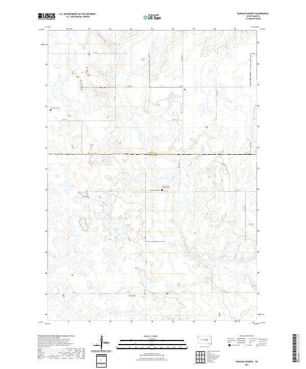
2021 Map of Duncan Church
USGS Topo · Published 2021About this map
The county line between Hand Co and Buffalo Co bisects this section of the Great Plains, where the rural landscape is defined by the winding course of Crow Cr. The area is characterized by a sparse grid of section roads, including 221st St and 357th Ave, which connect the isolated landmarks of the early 20th-century settlement era. Centrally located, the Duncan Church and the adjacent Saint Placidus Catholic Cem serve as significant touchstones for local genealogical research, while the Mondamin Cem sits further west near the township boundaries. This 2021 update preserves the exact spatial relationship of these enduring prairie landmarks, illustrating how the historical community centers continue to anchor the agricultural layout of central South Dakota.
Find a feature on this map
22 named features on this map. Tap any name to fly to it.
Don’t see what you’re looking for? This feature index may not catch every label — zoom into the map to look around manually.
Map Details
Editions of this 2021 Duncan Church Map
This is the sole edition of this map. No revisions or reprints were ever made.
Other maps of this area

1949 · Vayland SW
USGS Topo · 1:24,000

1951 · Vayland SW
USGS Topo · 1:24,000

1953 · Huron
USGS Topo · 1:250,000

1954 · Huron
USGS Topo · 1:250,000

1973 · Big Bend Dam 4 SE
USGS Topo · 1:24,000

1973 · Ames
USGS Topo · 1:24,000

1973 · Gannvalley
USGS Topo · 1:24,000

1973 · Miller Dale Colony SW
USGS Topo · 1:24,000

1973 · Big Bend Dam 4 NW
USGS Topo · 1:24,000

1973 · Big Bend Dam 4 NE
USGS Topo · 1:24,000