
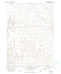
1973 Map of Big Bend Dam 4 SE
USGS Topo · Published 1976About this map
The Old Indian Treaty Boundary slices across this landscape in Buffalo County, reflecting the historical division of lands in South Dakota. Small communities like Anderson and Gann are documented here in the early 1970s, providing a look at the rural settlement pattern during a period when these prairie outposts were essential local hubs. The terrain is defined by the drainage systems of Crow Creek, Elm Creek, and Dry Run, which carve through the townships of Eden and Elvira. Pockets of local industry are visible through a Gravel Pit, while the section lines and farmstead locations offer researchers a precise view of mid-century land use and property boundaries.
Find a feature on this map
9 named features on this map. Tap any name to fly to it.
Don’t see what you’re looking for? This feature index may not catch every label — zoom into the map to look around manually.
Map Details
Editions of this 1973 Big Bend Dam 4 SE Map
2 editions found
Other maps of this area

1941 · Pukwana
USGS Topo · 1:62,500

1941 · Kimball North
USGS Topo · 1:62,500

1951 · Pukwana
USGS Topo · 1:62,500

1951 · Kimball North
USGS Topo · 1:62,500

1953 · Huron
USGS Topo · 1:250,000

1954 · Huron
USGS Topo · 1:250,000

1955 · Mitchell
USGS Topo · 1:250,000

1959 · Mitchell
USGS Topo · 1:250,000

1973 · Gannvalley
USGS Topo · 1:24,000

1973 · Big Bend Dam 4 NW
USGS Topo · 1:24,000
Featured Places
- Pershing Township, SD
- Crow Creek District, SD
- Eden Township, SD
- Eldorado Township, SD
- Elvira Township, SD