Old Maps of Nisland, South Dakota for Genealogy
Trace your family roots with 11 historic maps of Nisland. These high-res maps reveal old neighborhoods, homesites, landmarks, and streets — helping you uncover where your ancestors lived and how the area evolved over time.
- Explore historic neighborhoods: Identify where your relatives may have lived in the 1800s or 1900s.
- Compare maps over time: Trace the changes in streets, buildings, and landmarks for multi-generational research.
- Perfect for genealogy & ancestry research: Used by family historians and researchers to map out lineage and migration.
These maps are an incredible resource for exploring your personal connection to Nisland's past.
Nisland, SD maps
(11)- 1905 Map of Saint Onge
 1905 Saint Onge1905 Print · USGSWestern South Dakota's ranching and rail landscape comes into focus at the dawn of the twentieth century. Researchers can trace the Chicago and Northwestern Ry through Saint Onge or locate early water projects like the Redwater Ditch and the settlement at Snoma.2 unique versions available
 - 1907 Map of Belle Fourche
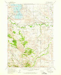
 1907 Belle Fourche1907 Print · USGSEarly ranching and rail development in the Black Hills foothills appear here in the first decade of the 1900s. Researchers can trace the legacy of cattle country through family-named sites like O Connors Ranch and the early settlements of Minnesela and Saint Onge.2 unique versions available
 - 1951 Map of Nisland, 1953 Print
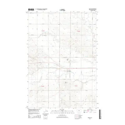
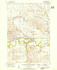 1951 Nisland1953 Print · USGSNisland and the surrounding Butte County ranchlands are seen here in the early fifties during the height of Missouri River Basin development. Researchers can trace the extensive irrigation network through the South Canal and locate rural landmarks like Horse Creek Sch and the County Fairground.2 unique versions available
 - 1953 Map of Rapid City, 1964 Print
 1953 Rapid City1964 Print · USGSWestern South Dakota's transition from the Black Hills to the open prairie is captured here during the mid-fifties. Researchers can trace the development of Ellsworth Air Force Base alongside historic landmarks like Bear Butte and the Lower Alkali School.3 unique versions available
 - 1954 Map of Saint Onge, 1959 Print
 1954 Saint Onge1959 Print · USGSWestern South Dakota's ranching and irrigation heartland is documented here in the mid-1950s. Genealogists can locate family-named landmarks and rural institutions such as the Saint Onge Cem, Middle False Bottom Sch, and Nisland.
 - 1957 Map of Rapid City
 1957 Rapid City1957 Print · USGSWestern South Dakota in the mid-fifties reveals a landscape of high-altitude forests and growing military installations. Researchers can trace the development of Ellsworth Air Force Base, locate the Theodore Roosevelt Monument, and find rural landmarks like Lower Alkali School.
 - 1983 Map of Belle Fourche
 1983 Belle Fourche1983 Print · USGSWestern South Dakota's ranching and irrigation systems are well-established in this early 1980s survey. Researchers can trace historic family holdings like McClure Ranch and the path of the Chicago and North Western railroad near Belle Fourche.
 - 2012 Map of Nisland, 2012 Print
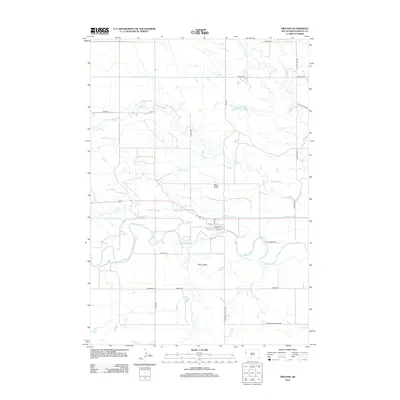 2012 Nisland2012 Print · USGSCovers Nisland, including Butte County, United States, and other nearby areas
 - 2015 Map of Nisland, 2015 Print
 2015 Nisland2015 Print · USGSCovers Nisland, including Butte County, United States, and other nearby areas
 - 2017 Map of Nisland, 2017 Print
 2017 Nisland2017 Print · USGSCovers Nisland, including Butte County, United States, and other nearby areas
 - 2021 Map of Nisland, 2021 Print
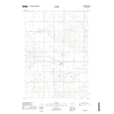
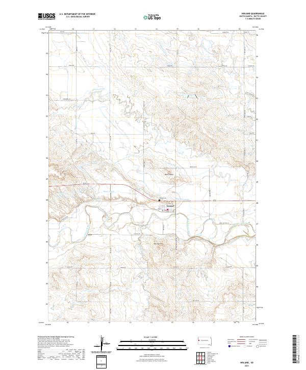 2021 Nisland2021 Print · USGSNisland and the surrounding Butte County countryside appear here in the early twenty-first century, showcasing a landscape deeply shaped by irrigation. Researchers can trace the layout of the Nisland townsite, the Nisland Cem, and the complex water network of the Belle Fourche River and Butte Lateral.
End of results
Showing maps 1-11 of 11
Top cities near Nisland
- Spearfish historical maps
- Whitewood historical maps
- Newell historical maps
- Saint Onge historical maps
- Vale historical maps
- Fruitdale historical maps
Frequently asked questions
- What are the different types of historical maps available for Nisland?
- What is the oldest map of Nisland?
- Where can I purchase historical maps of Nisland for my home or office?
- Where can I download high-res historical maps of Nisland?
- Are there historical topographic maps available for Nisland?
- Is there historical aerial imagery available for Nisland?
- Where are historical maps of Nisland sourced from?