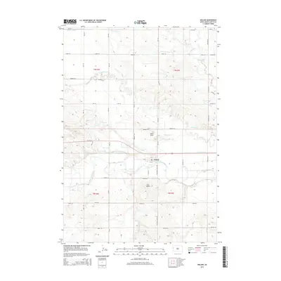
2015 Map of Nisland
USGS Topo · Published 2015About this map
Nisland serves as the central hub of this landscape, situated at a junction of regional roads and the Belle Fourche River. The settlement is defined by its relationship to a complex network of water management features, including the South Canal and numerous irrigation channels like the Butte Lateral, Mawer Lateral, and Korwelt Lateral. These artificial waterways lace through the terrain, supporting the agricultural life of the valley while skirting the natural paths of Owl Cr and Stinkingwater Cr. Prominent landmarks such as Miller Butte and the Twin Buttes break the horizon, providing vertical contrast to the flat river bottomlands. The map reveals a highly structured grid of section lines and rural roads, such as Beet Rd and Mail Rd, which underscore the organized land use of this South Dakota interior.
Find a feature on this map
46 named features on this map. Tap any name to fly to it.
Don’t see what you’re looking for? This feature index may not catch every label — zoom into the map to look around manually.
Map Details
Editions of this 2015 Nisland Map
This is the sole edition of this map. No revisions or reprints were ever made.
Other maps of this area

1905 · Saint Onge
USGS Topo · 1:62,500

1906 · Two Top
USGS Topo · 1:62,500

1906 · Vale
USGS Topo · 1:62,500

1907 · Belle Fourche
USGS Topo · 1:125,000

1913 · Newell
USGS Topo · 1:125,000

1951 · Vale
USGS Topo · 1:24,000

1951 · Newell
USGS Topo · 1:24,000
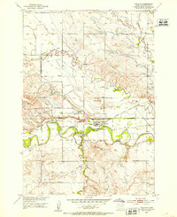
1951 · Nisland
USGS Topo · 1:24,000

1951 · Vale
USGS Topo · 1:62,500

1953 · Rapid City
USGS Topo · 1:250,000