2021 Map of Nisland
USGS Topo · Published 2021About this map
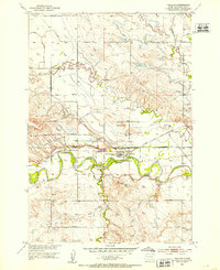
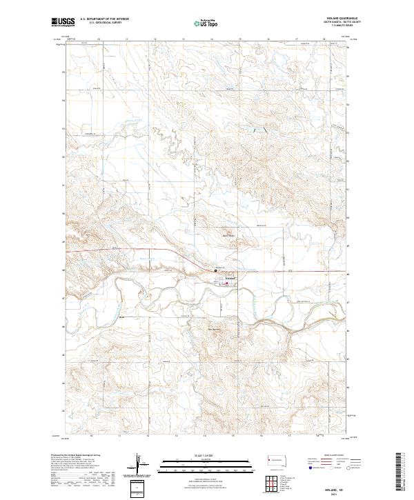
Nisland sits as a central hub of irrigation and agriculture in Butte County, defined by an intricate network of waterways managed for the surrounding high plains. The landscape is dominated by the Belle Fourche River, which winds through the southern portion of the quadrangle, joined by tributaries such as Stinking Water Cr and Horse Cr. The area’s development is tied directly to the engineering of the land, visible in the extensive system of canals and laterals including the S Canal, Butte Lateral, and Gillette Lateral.
Find a feature on this map
54 named features on this map. Tap any name to fly to it.
Don’t see what you’re looking for? This feature index may not catch every label — zoom into the map to look around manually.
Map Details
Editions of this 2021 Nisland Map
This is the sole edition of this map. No revisions or reprints were ever made.