Old Maps of Vale, South Dakota for Hiking & Exploration
Hike through history with 11 historic maps of Vale. Explore old trails, ghost towns, and forgotten backroads — perfect for outdoor adventurers and local explorers.
- Rediscover forgotten places: Map out old mining camps, roads, and footpaths that no longer exist on modern maps.
- Layer with modern tools: Combine with LiDAR or satellite views to plan hikes through historical terrain.
- Made for exploration: Popular among hikers, overlanders, and local history lovers.
Use these maps to find adventure and explore the hidden past of Vale.
Vale, SD maps
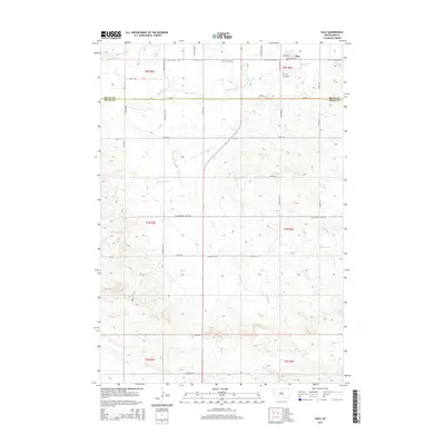
(11)- 1906 Map of Vale
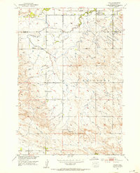
 1906 Vale1906 Print · USGSThe high plains of western South Dakota are captured here in the early twentieth century as ranching and river-fed agriculture began to take root. Researchers can trace the early footprints of Vale and Butte Hall along the winding Belle Fourche River.2 unique versions available
 - 1913 Map of Newell
 1913 Newell1913 Print · USGSButte and Meade Counties were being reshaped by new rails and irrigation projects in the decade before the Great War. Researchers can trace the path of the Chicago and Northwestern Ry and locate early settlements like Newell, Vale, and Station Elm.2 unique versions available
 - 1951 Map of Vale, 1953 Print
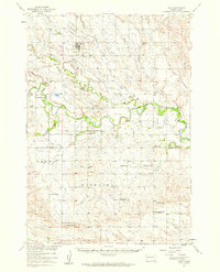
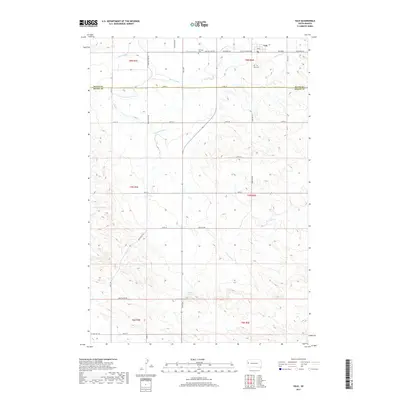
 1951 Vale1953 Print · USGSVale and the surrounding Butte County ranchlands are captured in the early fifties during the expansion of the Missouri River Basin irrigation network. Researchers can trace the Chicago and North Western rail line and locate early landmarks like Old Vale Cem and the Wagner Historical Monument.3 unique versions available
 - 1951 Map of Vale, 1959 Print
 1951 Vale1959 Print · USGSThe Butte and Meade county line in the early fifties shows a landscape of irrigated prairies and river bends shaped by the Belle Fourche River. Genealogists and local historians can trace rural school districts like Plainview Sch and find family sites near Vale Cem or the Chicago and North Western rail line.
 - 1953 Map of Rapid City, 1964 Print
 1953 Rapid City1964 Print · USGSWestern South Dakota's transition from the Black Hills to the open prairie is captured here during the mid-fifties. Researchers can trace the development of Ellsworth Air Force Base alongside historic landmarks like Bear Butte and the Lower Alkali School.3 unique versions available
 - 1957 Map of Rapid City
 1957 Rapid City1957 Print · USGSWestern South Dakota in the mid-fifties reveals a landscape of high-altitude forests and growing military installations. Researchers can trace the development of Ellsworth Air Force Base, locate the Theodore Roosevelt Monument, and find rural landmarks like Lower Alkali School.
 - 1983 Map of Belle Fourche
 1983 Belle Fourche1983 Print · USGSWestern South Dakota's ranching and irrigation systems are well-established in this early 1980s survey. Researchers can trace historic family holdings like McClure Ranch and the path of the Chicago and North Western railroad near Belle Fourche.
 - 2012 Map of Vale, 2012 Print
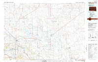
 2012 Vale2012 Print · USGSCovers Vale, including Meade County, Butte County, and other nearby areas
 - 2015 Map of Vale, 2015 Print
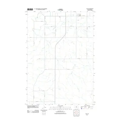
 2015 Vale2015 Print · USGSCovers Vale, including Meade County, Butte County, and other nearby areas
 - 2017 Map of Vale, 2017 Print
 2017 Vale2017 Print · USGSCovers Vale, including Meade County, Butte County, and other nearby areas
 - 2021 Map of Vale, 2021 Print
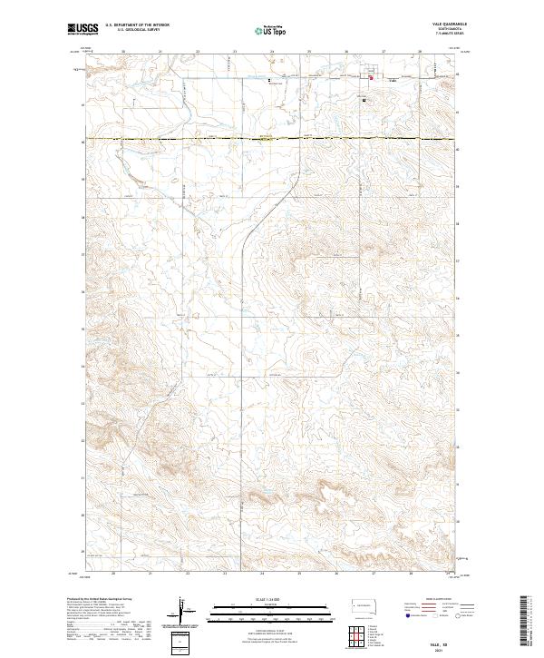 2021 Vale2021 Print · USGSVale and the surrounding Butte County ranchlands are documented here in the early twenty-first century, showing a landscape defined by an intricate network of irrigation. Genealogists can locate family sites near Old Vale Cem or trace the paths of S Canal and Ninemile Cr.
End of results
Showing maps 1-11 of 11
Top cities near Vale
Frequently asked questions
- What are the different types of historical maps available for Vale?
- What is the oldest map of Vale?
- Where can I purchase historical maps of Vale for my home or office?
- Where can I download high-res historical maps of Vale?
- Are there historical topographic maps available for Vale?
- Is there historical aerial imagery available for Vale?
- Where are historical maps of Vale sourced from?