Old Maps of Pollock, South Dakota for Academic Research
Study the evolution of Pollock with 9 high-resolution historic maps. Whether you're teaching, researching, or modeling changes in land use, these maps provide essential visual documentation of urban, environmental, and geographic change.
- Analyze long-term change: Track patterns in development, transportation, and natural features.
- Ideal for environmental or urban studies: Support academic projects with primary historical map data.
- Use in the classroom or lab: Educators and researchers rely on these maps to bring historical context to life.
These maps are a powerful tool for teaching, research, and visualizing how Pollock has changed over the decades.
Pollock, SD maps
(9)- 1953 Map of McIntosh, 1965 Print
 1953 McIntosh1965 Print · USGSThe north-central Dakota prairie is captured here during the mid-fifties, showing the vast Standing Rock Indian Reservation and the newly formed Oah E Reservoir. Genealogists and historians can trace the Chicago Milwaukee St Paul and Pacific rail line through stops like McIntosh, Walker, and Eagle Butte.3 unique versions available
 - 1958 Map of McIntosh
 1958 McIntosh1958 Print · USGSThe north-central Dakotas appear here in the mid-1950s as massive engineering projects and rail lines shaped the plains. Researchers can trace tribal lands within the Standing Rock Indian Reservation and locate local landmarks like the Keller Mine or the Virginia Siding.
 - 1965 Map of Pollock, 1967 Print
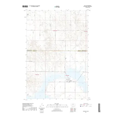
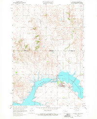 1965 Pollock1967 Print · USGSPollock was a town transformed by the mid-1960s as it adjusted to its new position between Oahe Reservoir and Pocasse Lake. Genealogists and researchers can trace the Soo Line rail route or locate rural burial grounds like Spring Valley Cem.
 - 1985 Map of Mobridge
 1985 Mobridge1985 Print · USGSCrossing the Missouri River in the mid-1980s, this landscape reveals the intersection of the Standing Rock Indian Reservation and the rising waters of Lake Oahe. Researchers can locate significant historical markers such as Sitting Bulls Grave, St Elizabeth Mission Home, and the Leavenworth Monument.2 unique versions available
 - 2011 Map of Pollock, 2011 Print
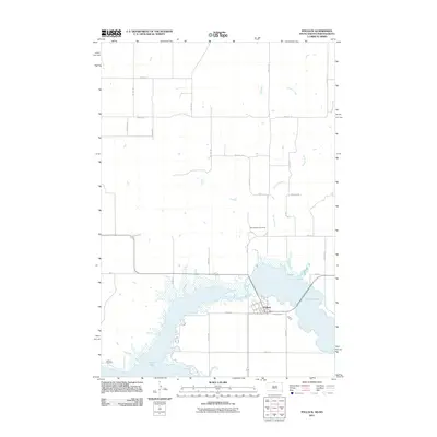 2011 Pollock2011 Print · USGSCovers Pollock, including Campbell County, Emmons County, and other nearby areas
 - 2012 Map of Pollock, 2012 Print
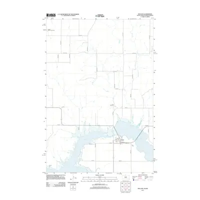 2012 Pollock2012 Print · USGSCovers Pollock, including Campbell County, Emmons County, and other nearby areas
 - 2015 Map of Pollock, 2015 Print
 2015 Pollock2015 Print · USGSCovers Pollock, including Campbell County, Emmons County, and other nearby areas
 - 2017 Map of Pollock, 2017 Print
 2017 Pollock2017 Print · USGSCovers Pollock, including Campbell County, Emmons County, and other nearby areas
 - 2021 Map of Pollock, 2021 Print
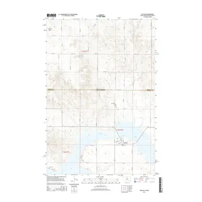
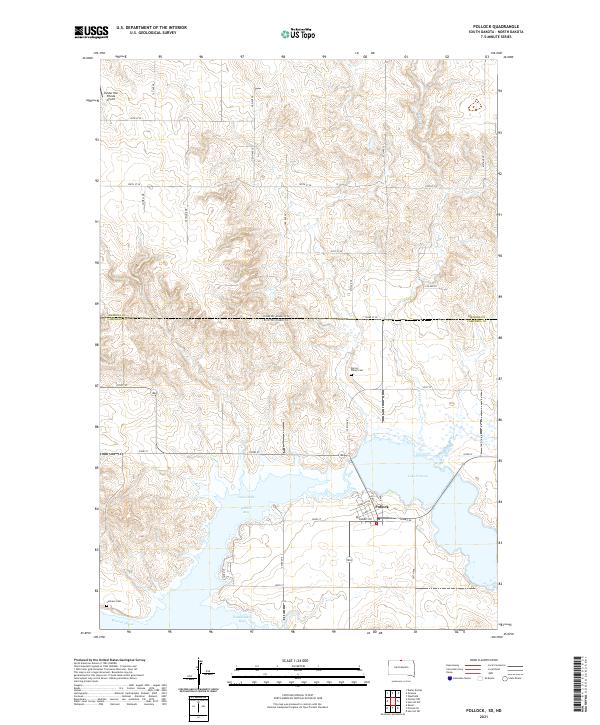 2021 Pollock2021 Print · USGSThe northern Missouri River shoreline comes into focus in this contemporary survey of the South Dakota and North Dakota borderlands. Researchers can trace the edges of Lake Oahe and locate local landmarks like Spring Valley Cem and Pollock Bay.
End of results
Showing maps 1-9 of 9
Top cities near Pollock
Frequently asked questions
- What are the different types of historical maps available for Pollock?
- What is the oldest map of Pollock?
- Where can I purchase historical maps of Pollock for my home or office?
- Where can I download high-res historical maps of Pollock?
- Are there historical topographic maps available for Pollock?
- Is there historical aerial imagery available for Pollock?
- Where are historical maps of Pollock sourced from?